|
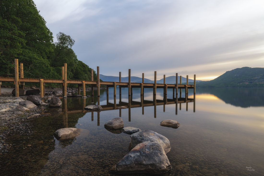
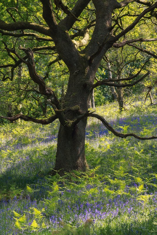
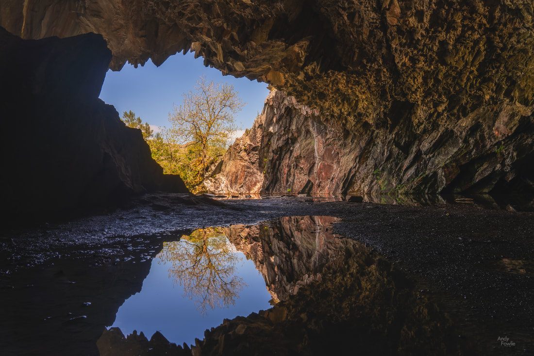
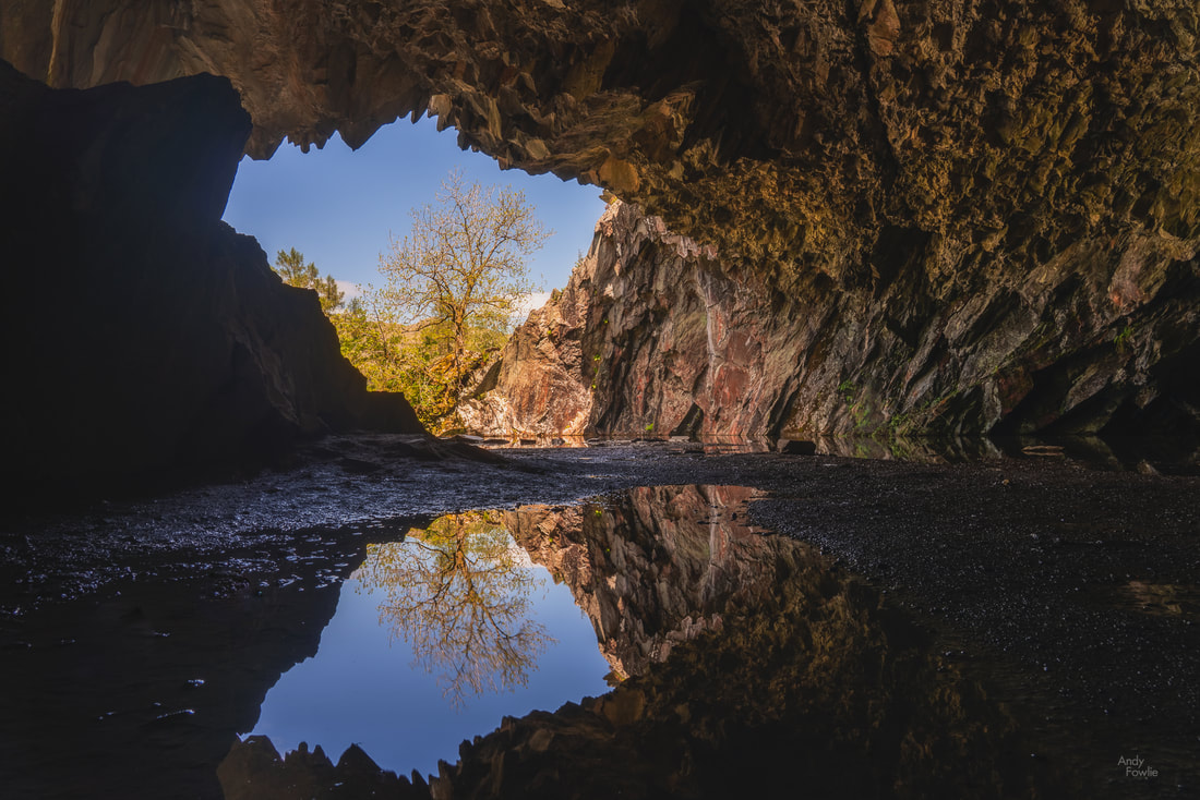
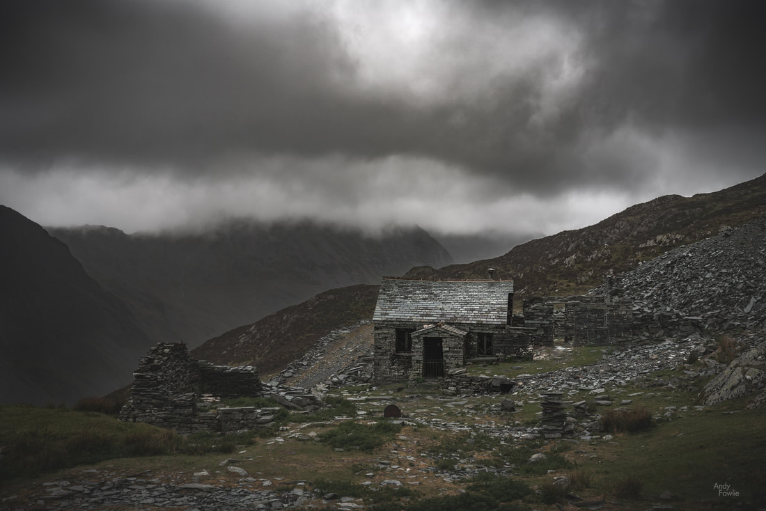
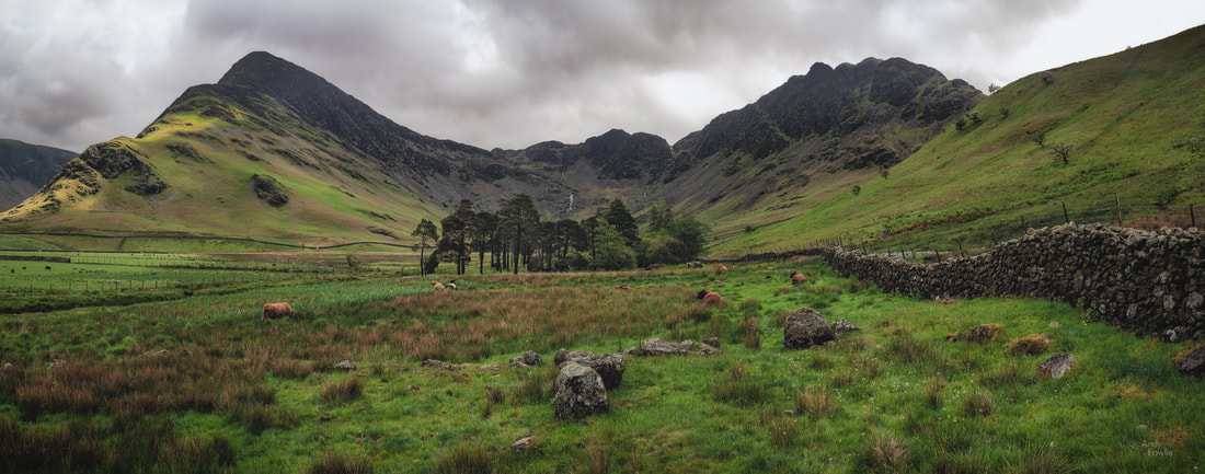
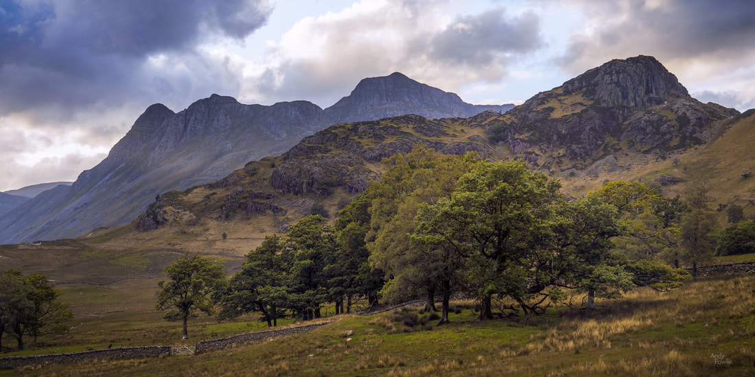
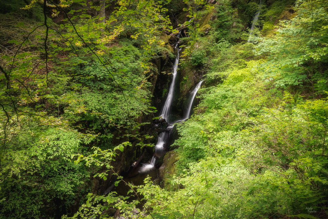
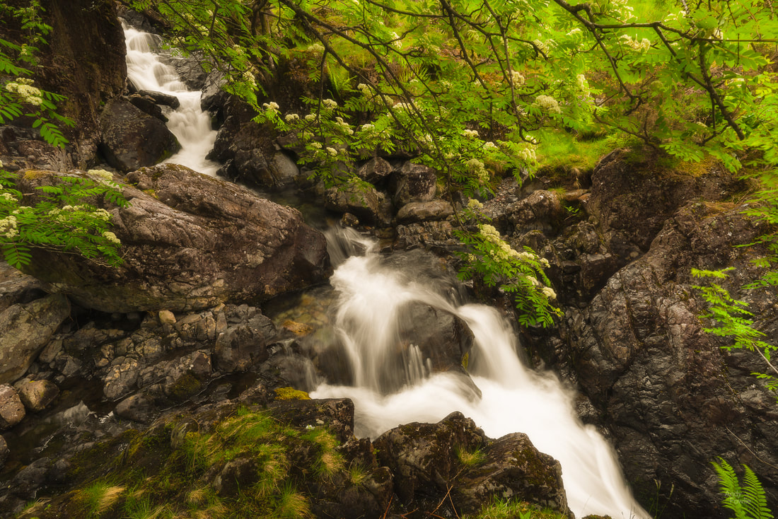
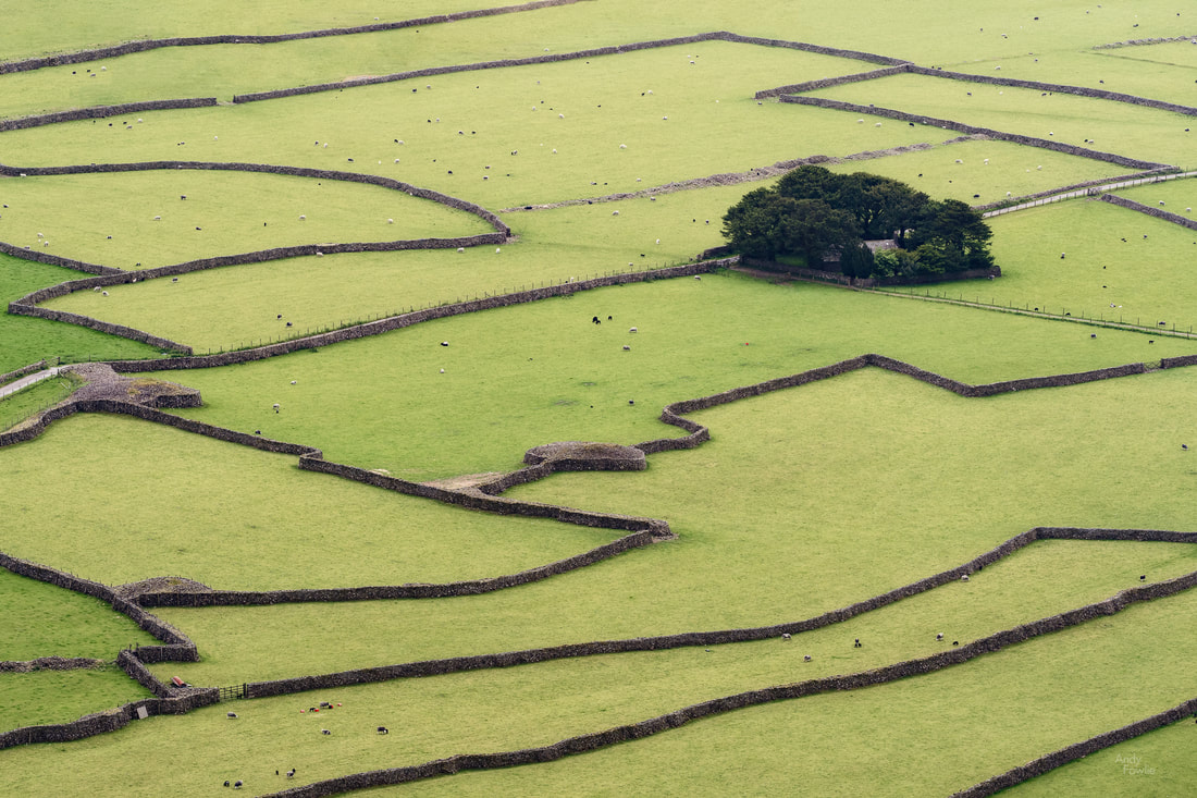
This may sound strange, but with one notable exception I did not find the lakes to be a particularly interesting part of the Lake District... but in fairness I can admit that "the Hills, Trees, Caves and Waterfalls District" would be a far less catchy title for this beautiful area. It may also be the case that visiting on a less windy week would significantly change my thoughts on this matter. My trip continued with another early morning wake-up and a drive around Derwent Water to Brandlehow Bay where I hoped to photograph one of the old jetties which are still in use as stops for the boats which carry passengers to different points around this large lake. The weather was quite attractive for a change on this morning but I was a bit disappointed to find that the old jetty was now a new jetty... the fresh clean flawless light coloured wood probably ushered in a new level of comfort and stability but until a few seasons have taken their toll it has been robbed of some of it's character. My next destination was Rydal Water in the village of Rydal. This lake is another which has good paths allowing you to walk along it's length, either along the edge of the lake or slightly further back from the water allowing you to pass through some attractive woodland, I took the woodland path on an unusually beautiful (but stilll rather windy) day. Another point of interest in the immediate area is Rydal Cave, another impressive cavern which is man-made in origin having been mined for slate many decades ago. Luckily this time there is no claustrophobic tunnel to travel through to reach it but there was a shallow water hazard to negotiate in order to get to what I considered to be the best shooting position. After walking for a while at Rydal water I decided it was time for some more hill walking. The weather forecast looked semi-reasonable so I drove the winding road up the Honister Pass to the Honister Slate Mine where I parked my rental car and set off to climb up to Warnscale Bothy, a tiny old hut with clear views down the valley to Buttermere below. I told myself that the darkening clouds and hints of rain were not going to be anything to worry about and also told myself that the place would be easy enough to find based on the simplistic map I had in my guide book. The walk to the bothy is not very long, about 2.5 kilometres, but the elevation change is quite significant for such a short journey, first you need to gain about 300m as you climb up the shoulder of Fleetwith Pike and then descend 200m town the other side to the bothy. This route is not however provided with idiot-proof signposts and after completing the required ascent (plus some extra that I later realised was not required) I soon found out that my guide book was not sufficient to navigate to my destination while the offline maps in my phone (no signal here) were not sufficiently detailed to be much help... of course the rain was also falling and the clouds were darkening further. A perfect moment to remind yourself that you may not be a genius. Although I was not 100% sure how to get to the bothy it would have been very simple to follow the trail back to the car so this was a frustration rather than any kind of threat of being lost in the hills. I continued in a direction which seemed plausible and was relieved to see a hut a few hundred metres ahead of me as the rain further intensified. As I got closer to the hut it was pretty obvious that although this was a hut, it was not the hut I was looking for, there were no magnificant views down to Buttermere. I decided that it would have to do and took some photographs before retreating down the mountain for some coffee and a bacon roll... much needed if not particularly deserved. As the storm set in for the evening it was pretty clear that sunset was cancelled so I called it a day and thought I could catch up on some sleep. The forecast was promising that the storm would disappear about an hour before sunrise the next morning so I planned a dawn mission to Buttermere. My alarm went off at 0300 and I was on the road by 0310. I was not expecting heavy traffic so I decided to take a very narrow road through farms and a hill pass to shave a few minutes off my journey and be there in plenty time for whatever spectacular sunrise might await me once the storm stopped. This was good thinking and I was in position at Buttermere well before 0400... but the weather was not following the weather forecast. There was absolutely no sign of the rain stopping so I decided to take a walk around the lake for scouting purposes. I completed the circuit in about 2 hours, including a detour caused by a bridge being out, and got a strong feeling that Buttermere was going to be my favourite of the lakes in the Lake District if only I could get some half decent conditions. I headed back to Netherdene Country B&B for breakfast. Another strong feature of the Lake District is the pay and display car parks, there are many of them, very many of them. Most of the car parks at popular natural attractions are owned by the National Trust, some by local authorities, some private... but one way or another you are going to do a lot of paying and a lot of displaying. If you are a paid up member of the National Trust then you can park in all their car parks for free but as a short-term visitor from another country an annual National Trust membership does not make much sense. The way the payment terms work out (e.g. £5 for up to 2 hours, £7.50 for a day) is quite reasonable if you stay in one place for the whole day, but if you want to visit many places per day then it gets very expensive... so after breakfast I returned to Buttermere to use up some remaining parking hours from my failed dawn mission. The weather was still unpleasant and not very photogenic but by now I at least started to know what I would want to shoot at Buttermere if I got a proper chance... and I had walked 20 kilometres by the time I had lunch. I continued my journey, deciding to visit Blea Tarn, another potentially lovely little lake near to Little Langdale. First I had to endure a 25-30 minute detour along a horrendous hill road (due to the navigation system in my rental car having some "special ideas" about where the Blea Tarn car park was located) but eventually i got there and paid yet another £5 parking fee. The wind was once again too strong, even in this more sheltered destination, and all thoughts of reflections were removed from the equation, which removed all interest from shooting the tarn itself. The views over the Langdale Pikes were still spectacular however. Well, that was one of those days, a lot of effort for no reward. It wasn't the first and it won't be the last. The next day it was rainy again. Instead of imagining for the third consecutive day that the weather would bend to my will I decided to tailor my activities to the conditions (a much more sensible appraoch) and seek out some waterfalls. Overcast conditions are ideal for waterfall shooting. I drove to Ambleside and walked up the hill to Stockghyll Force, a lovely waterfall in leafy green forest. From here I took a bit of a longer drive to Wasdale Head from where a few other waterfalls can be found. As the rain continued to fall I decided to climb part of the way up Kirk Fell to get a good view over the sheep fields down below... I suppose that if I had a drone I could have got the same shot with a great deal less effort. Ritson's bar in the Wasdale Head Inn provided an excellent hot meal for me after I returned to ground level and I reflected on how much better my results had been when I was taking my lead from the weather rather than fighting against it. Hopefully I can put that learned lesson to good use from now on. Until next time, Andy
2 Comments
|
AuthorAndy Fowlie See also:
SubscribeEnter your email address to receive notifications of new blog posts
Archives
December 2019
Categories
All
|
- Hub
-
Portfolio
- Flow 2019
- magical Vestrahorn 2019
- Fangorn 2019
- a snowstorm at Kintail 2019
- the village 2019
- a bolt from the blue 2019
- peaceful purple pastels 2019
- a Slovenian sunrise 2019
- the cormorant 2019
- Elgol on the rocks 2019
- weeds 2019
- pretty in pink 2019
- Ritsons Force 2019
- Sakrisoy on the Rocks 2019
- the Clappersgate eye 2019
- the Falls of Falloch 2019
- in the jaws 2019
- the devils teeth 2019
- tranquility 2019
- the old man of storr 2019
- Destinations unknown
- Articles
- Recognition
- Contact
- Store
- About



 RSS Feed
