|
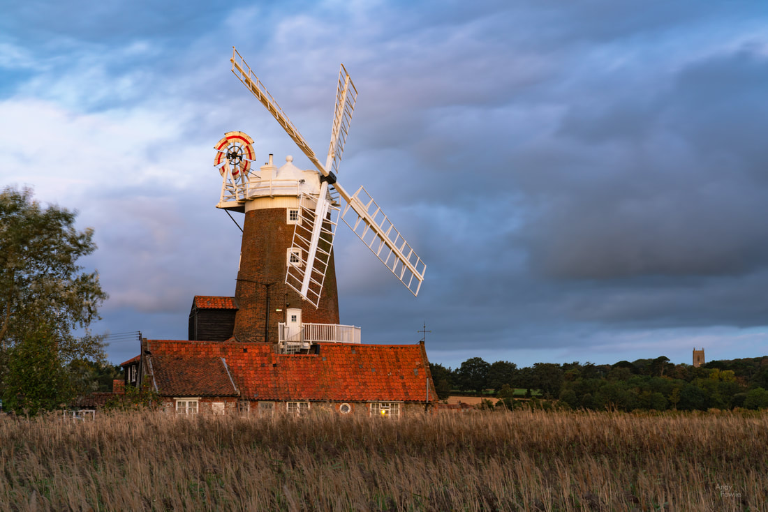
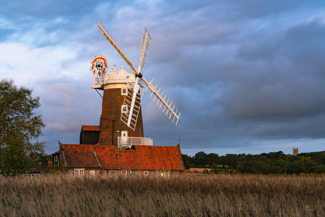
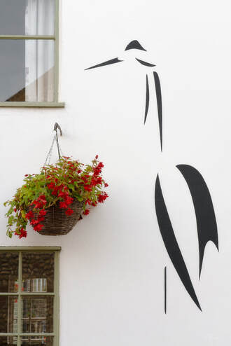
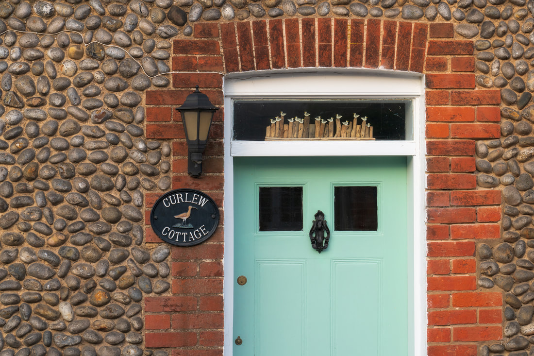
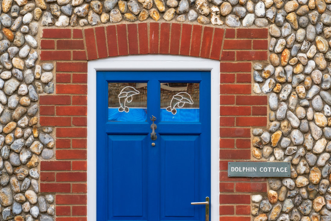
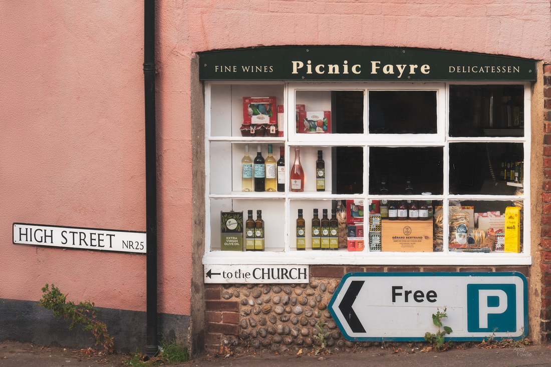
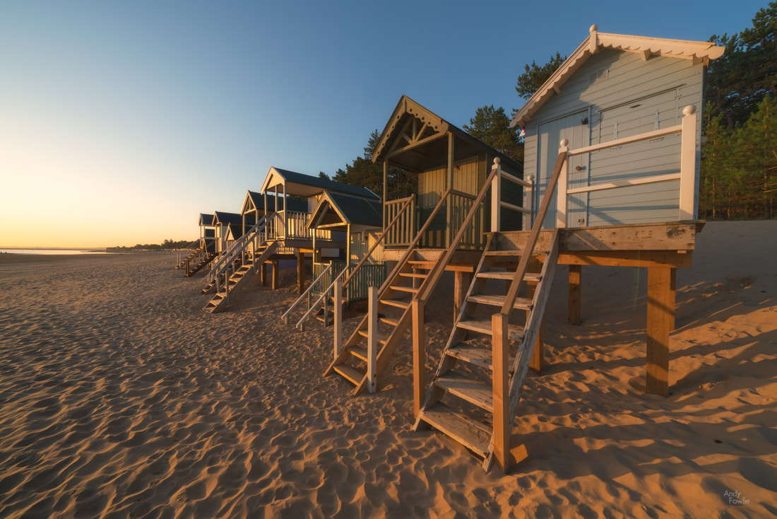
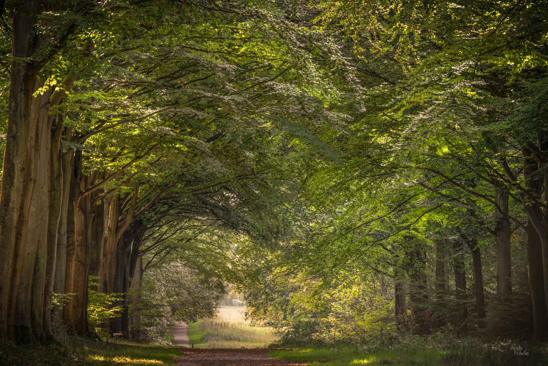
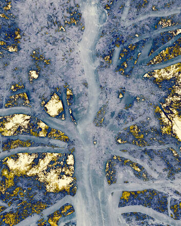
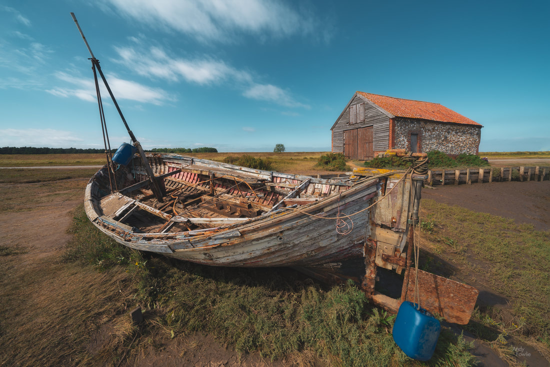
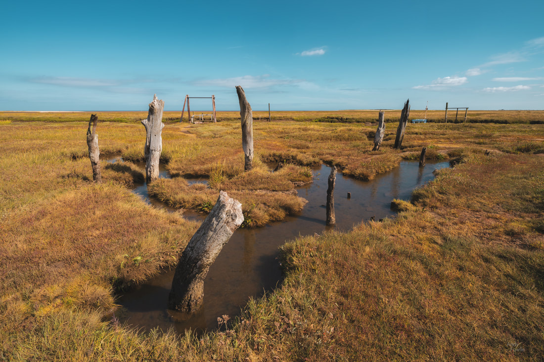
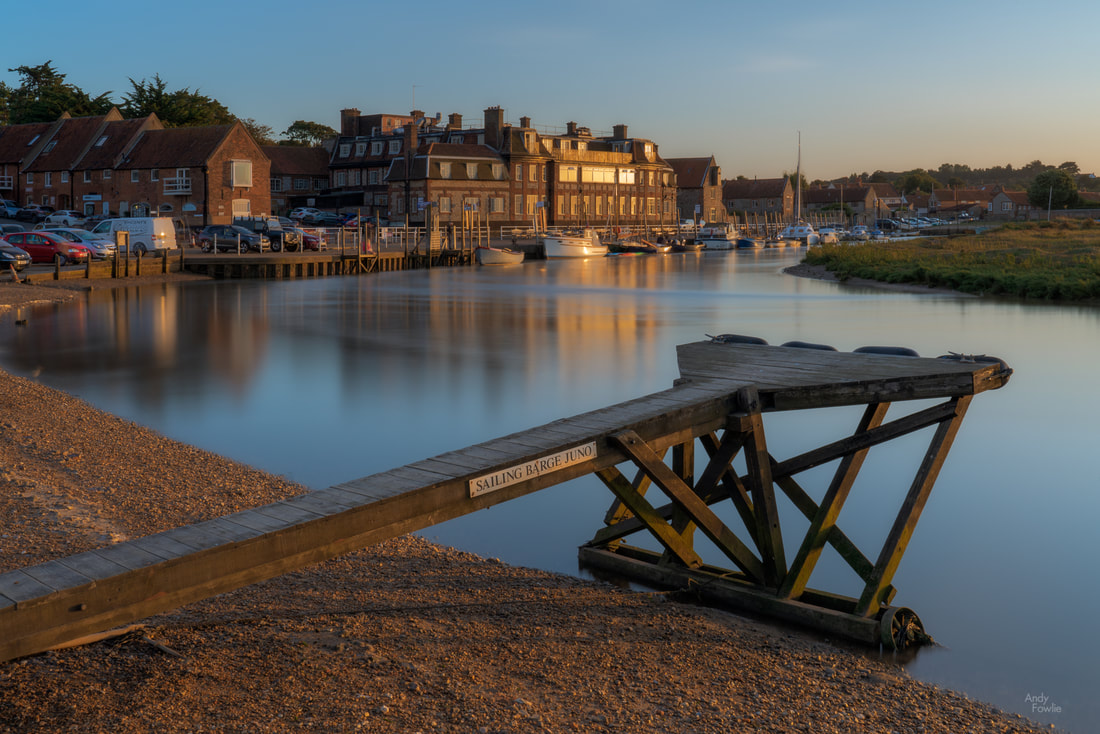
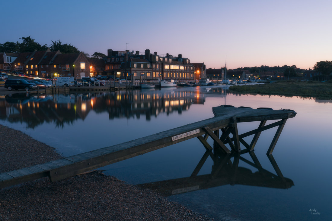
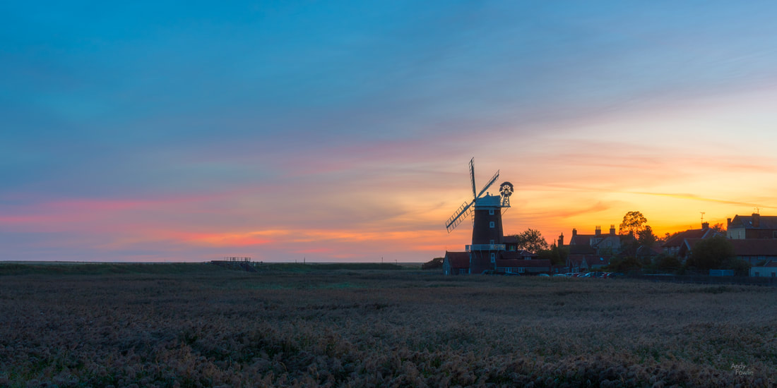
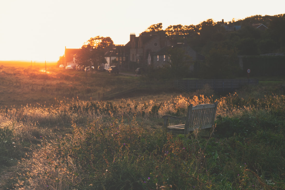
One of the most striking features of the East Anglian countryside is the large amount of windmills and windpumps that are scattered across the whole area, many of them in a good state of repair and some of them still functioning. These mills played a big part in the history of the area, draining many parts of the fens and broads in order to make the area more habitable and workable. One particularly attractive example can be found in the lovely village of Cley-next-the-sea, just along the road from Weybourne where I was staying. Although this charming village has "next-the-sea" in it's name it has not actually been next to the sea since the 17th century, a land reclamation program has meant that the shore is now 3 kilometres away and some marsh land fills the space. The huge reed beds in this area make a perfect sanctuary for a number of bird species and a lovely area to walk through on some raised embankments. The village itself is also interesting, there are a number of houses which are constructed from flint (a traditional material in Norfolk) and also many buildings which are influenced by the local wildlife in one way or another. A 20 minute drive from Cley-next-the-sea takes you to Holkham Nature Reserve, a beautiful expanse of dunes and woodland stretching along the coast. I took a peaceful early morning walk along the Holkham beach to another "-next-the-sea". The beach at Wells-next-the-sea (which is still actually next the sea) contains a huge row of over 200 beach houses all next to each other. The sunrise on this day was one of those "blue sky, no clouds and nothing happens" afairs, but it was anwyay a wonderful way to start the day. There is a special satisfaction to be gained from a few hours of activity before breakfast. Many parts of the UK are littered with grand old houses in the middle of huge estates, a reminder that there have always been those that have and those that have not. In modern times a great number of those are opened to the public, often under the management of the National Trust. I made my way to Felbrigg Hall for a morning walk through the woods. Encouraged by the Felbrigg experience I made my way to the Blickling Estate. The National Trust does a great job of maintaining all of this cultural history and rural beauty for the public good, but all the good work comes at a cost. I have donated an inordinate amount of funds to the National Trust this year for parking and entry fees on my multiple UK trips, there is always a noticeable fee to park and an even more noticeable fee to enter at different destinations. All of these fees seem more-or-less reasonable in isolation but if you are taking in a number of venues in a day then it starts to be a burden. Blickling is another enormous estate, covering 1861 hectares, and it is full of interest and beauty in it's buildings and gardens. At the time I visited there was very harsh daytime light so it was not optimal for photography... wrestling with the images I took on that afternoon took me to some strange places. you are welcome / i am sorry (delete as appropriate) Back in the real world my next destination was Thornham, another beautiful area with channels through the reeds, old abandoned boats and buildings, flanked by dunes covered in marram grass, leading out to a lovely beach. East Anglia is generally very low lying, meaning that photographic interest needs to come from colours, patterns, shapes, textures and objects rather than rolling hills or strong elevation changes. This presents a different and interesting challenge. The village of Blakeney is a perfect example of a Norfolk village, narrow roads lead past traditional flint cottages to a slipway full of boats and a marshy area reaching out to the sea. I spent my last North Norfolk evening watching the sun go down at Blakeney. After taking the shot above I went walking through the marshes, looking for compositions, none of which made the final selection from this trip, before returning to almost exactly the same spot after dark (note the difference in the tide). To conclude this blog episode (episode 65 in case anyone was wondering) I will return to where i started. My last North Norfolk sunrise was viewed across the reed beds at Cley-next-the-sea. I walked through the village and back to the area near the mill. A bench was handily placed in a perfect spot for observing how the light developed as the day began. Another North Norfolk day was under way.
Until next time, Andy
3 Comments
Earlier this autumn I made my first visit to East Anglia, a fascinating area on the east coast of England. My first days were spent in North Norfolk where I had a very enjoyable time photographing the beautiful coastline and rural scenery.
My base for these first days was The Maltings Hotel in the village of Weybourne, a location which turned out to give me good access to many of the places I was interested in. When visiting a totally unfamiliar area the selection a perfect place to stay requires at least a small degree of luck. I arrived in the late afternoon and decided to head down the coast to nearby Sheringham to watch the sun go down.
After a good night's sleep I headed towards the town of Cromer, hoping for some kind of sunrise. The weather however had different ideas. Overall on this trip I had much kinder treatment from the weather gods but this morning was quite dreary.
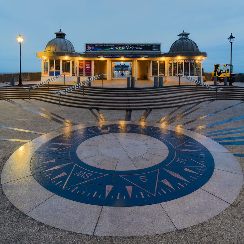
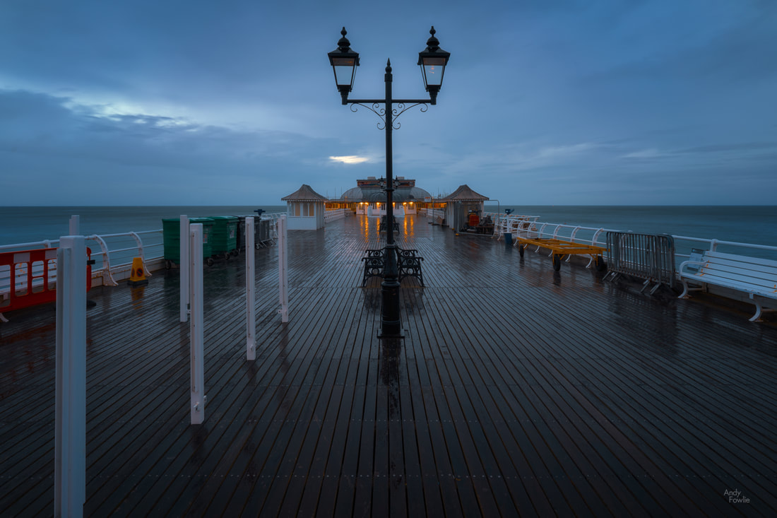
The impressive pier at Cromer is 140m long and was opened to the public perhaps in either 1901 or 1902 (depending on whether one of the conflicting references in wikipedia is correct). A pier is always a promising subject for a photograph, the long straight design of most piers provides strong leading lines if you wish to make sue of them. At Cromer there was too much clutter and too much construction ongoing, slightly detracting from the possibilities for a good shot.
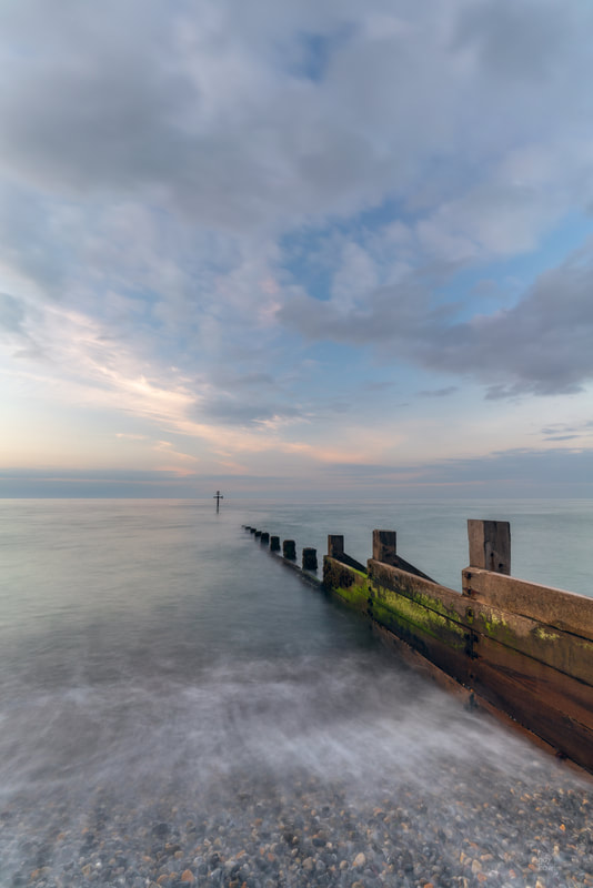
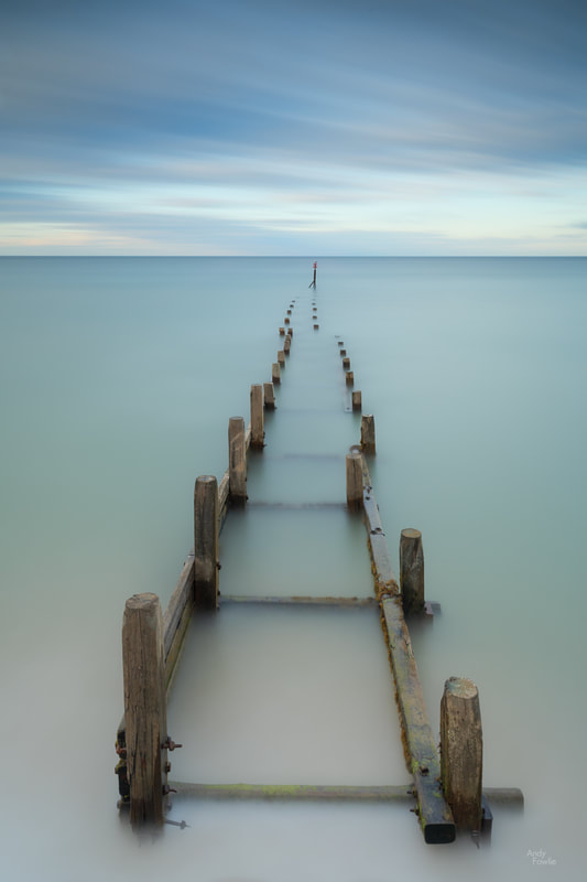
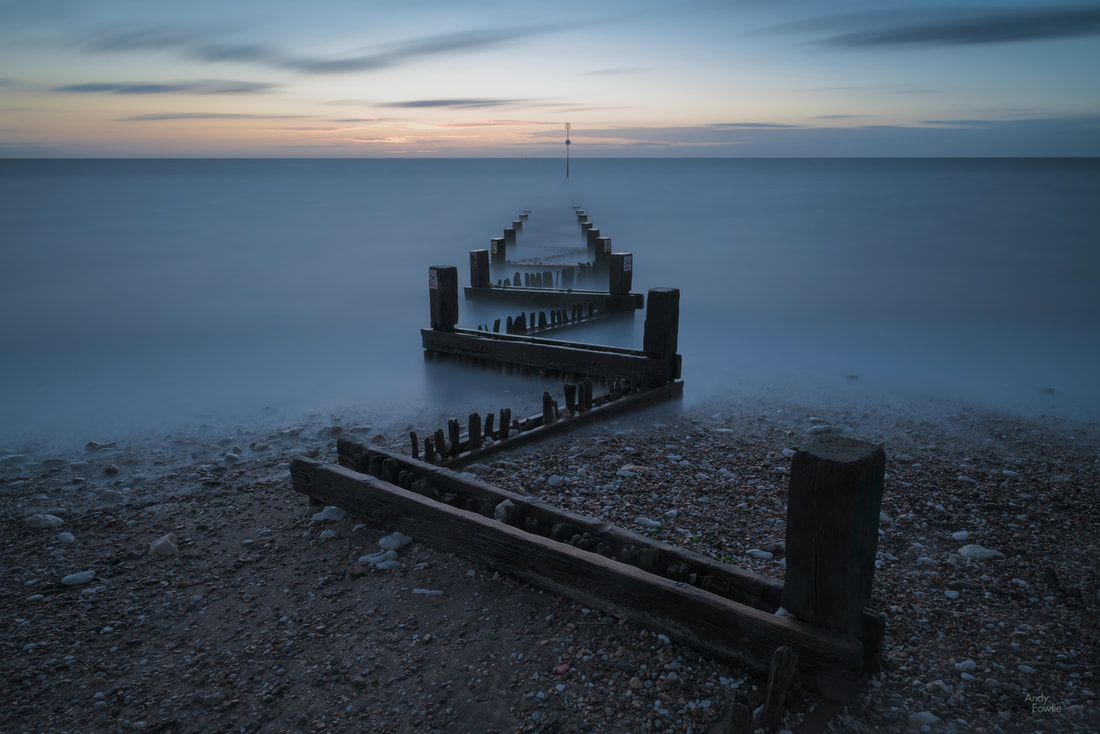
Along the coast from Cromer you can find the small village of Overstrand where a steep paved path leads you down to the sea front and a series of erosion defences. I have spent quite a lot of time on the coast in my 2019 trips and I have started to get a better feeling for how I like to capture different scenes. The whole east coast of the UK is affected by strong tides and in many places coastal erosion is a concern. The daily comings and goings of the tide create an ever-changing landscape, sometimes peaceful, sometimes violent, almost always interesting in one way or another.
On this occasion, in beautiful soft evening light, I decided that a dreamy looking long exposure would be the best approach to the scene, complementing the soft colours of the scene. This 404 second exposure would be one favourite from the trip.
To the north of East Anglia, and to the south of Lincolnshire, you can find The Wash - a huge, shallow, square-ish estuary which covers an area of about 620 square kilometres. The four corners of the square are roughly defined by the towns of Hunstanton and Kings Lynn (on the south side in East Anglia), Boston and Skegness (on the north side in Lincolnshire.
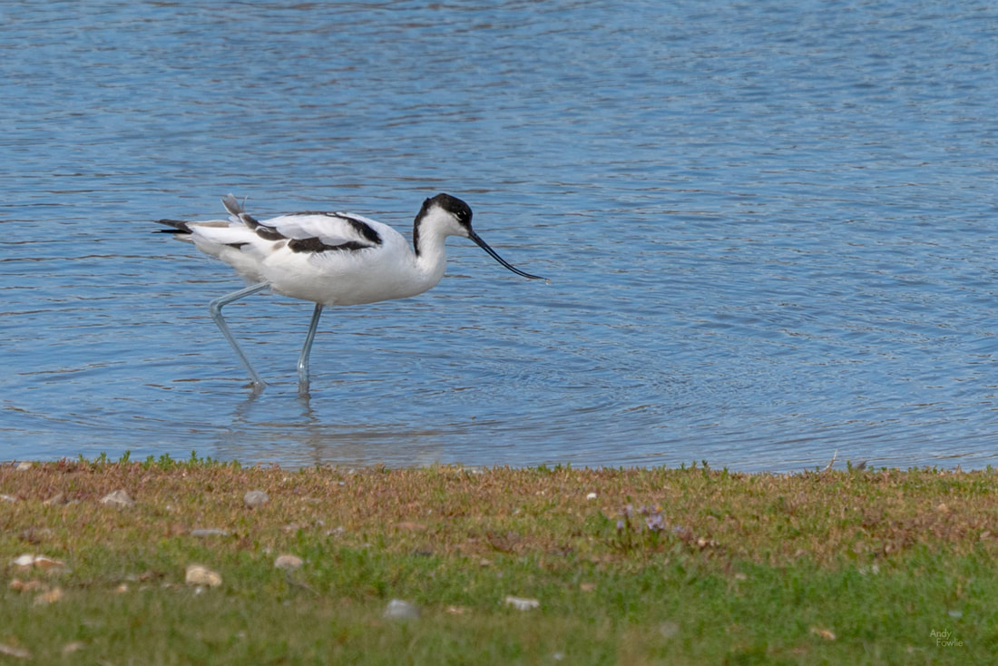
On a blustery, bright (and slightly wild) day I headed for the nature reserve at Snettisham where I planned to see what kind of birds I might be able to find resting in the huge tidal expanse of The Wash. with some luck I was able to find three species that I had not previously seen, taking my total number of photographed species to 208.
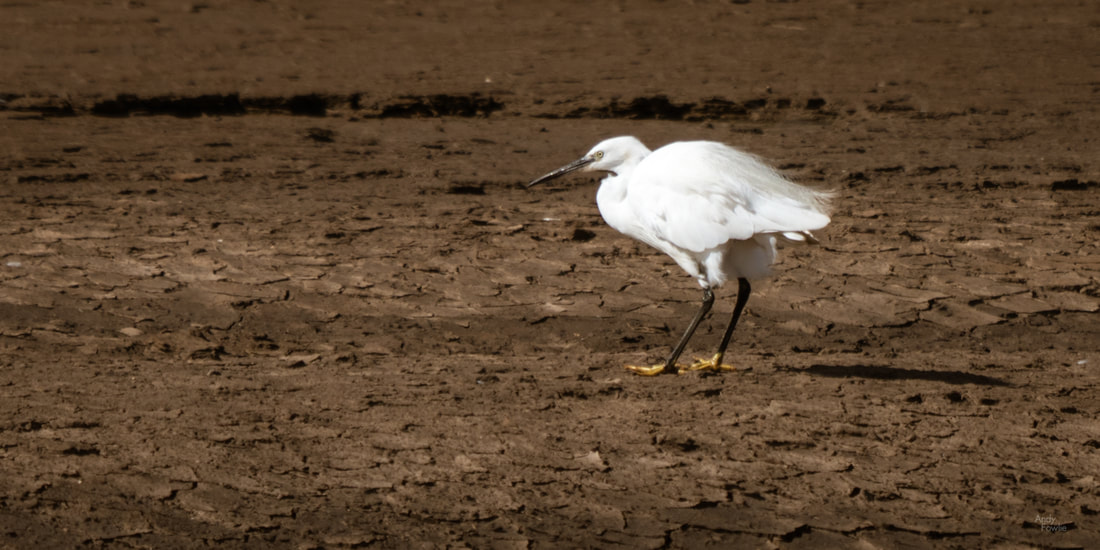
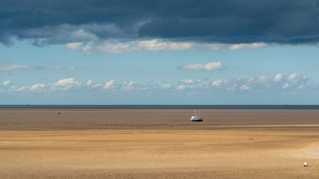
The extent of the change from low tide to high tide in The Wash was remarkable. I could see (from the wet mud, jetties and boats resting on the ground) that I was next to the shore, but the shallow mud flats extended beyond the horizon. The water would return in a few hours, but for the moment it was completely out of sight. A number of Little Egrets patrolled the muddy expanse, searching for delicious(?) morsels.
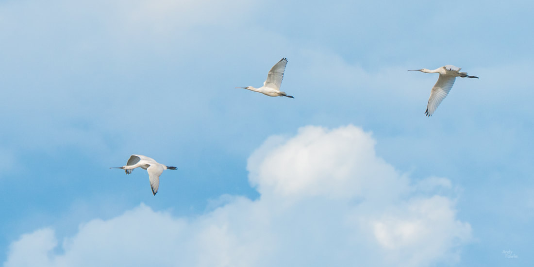
Perhaps the biggest prize of the day was the chance to see some Eurasian Spoonbills flying overhead - huge and impressive with their unusually shaped bills. It would have been nice to have had a long telephoto lens with me to try and get a better picture of these amazing birds but I did the best I could with the 100-400mm zoom.
I walked a considerable distance on this day, in high winds, ending up with a feeling like I had been in a bit of a battle, somewhat tired but in a good way. One of the best things about landscape or nature photography is the excuse it gives to spend extended periods wondering around in the outdoors.
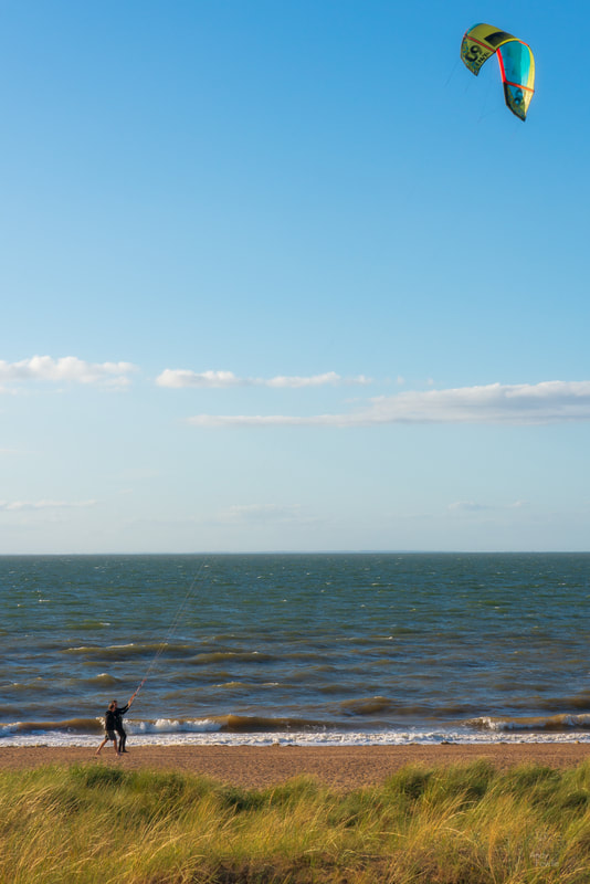
After my enjoyable day in Snettisham I made for the seaside town of Hunstanton where I hoped to find some good compositions for the sunset session. At the north of the town you can find Old Hunstanton beach, a more natural and wild area with beautiful dunes and geologically interesting cliffs. On this day the wind was being put to good use for leisure activities.
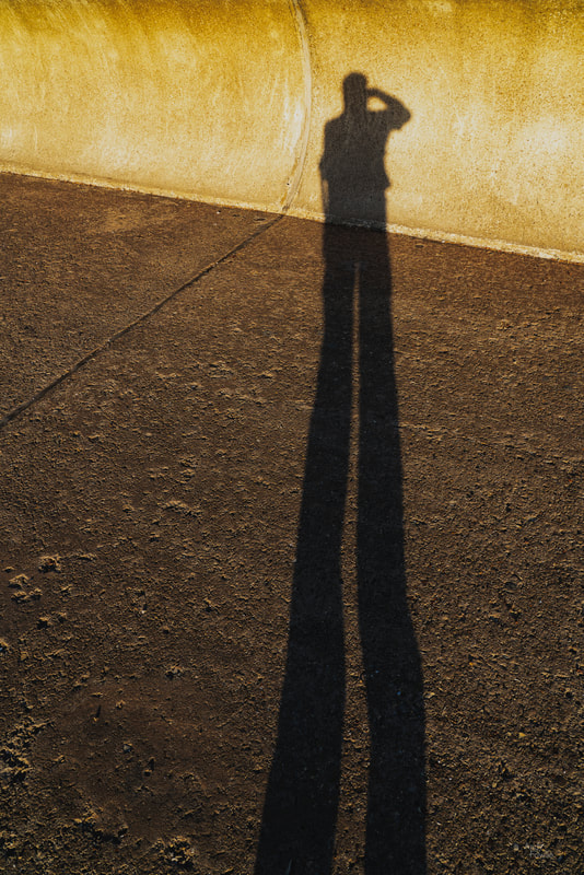
The tide was rising at this point and the water prevented access to the foot of the cliffs, so I headed instead for the sea front promenade in the town and looked for a way to photograph the sea defences as the sun started to set. Having got myself into position I had some time to kill before the best light so I bravely decided to take my 2019 selfie to pass the time (I really don't like to have people in my pictures, least of all myself).
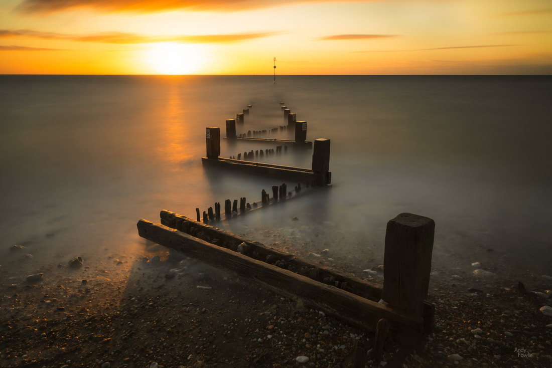
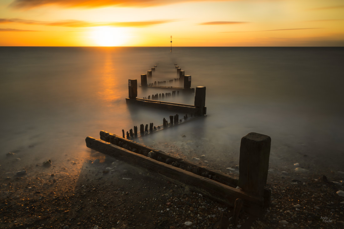
The coastal defences along the sea-front have an interesting zig-zag configuration and I thought that this made for a compelling subject. I do not normally want to have the sun in the frame when making landscape photographs but once in a while i think it is healthy to consider doing something a little differently.
I stayed in position and watched as the light gradually changed, shooting a series of very long exposures (5-10 minutes). I like the calming effect that this produces in the resulting images and there is something satisfying about the picture being created over an extended period of time instead of being all done in a fraction of a second.
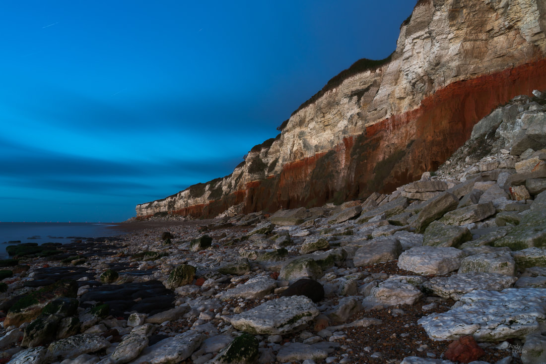
As the gloom descended I decided to make my way back to the Old Hunstanton cliffs and see if I could manage to navigate my way along the beach in the dark in order to get a shot of the cliffs.
In such situations I have found it better to allow my eyes to get used to the darkness (instead of using a torch) and due to my sensible (cowardly) nature I don't proceed if I feel that anything is risky. On this occasion I was able to make my way along the beach easily enough and was confident that it would be safe to make my way back when it was even darker, the route was mostly sand or pebbles and the rocky areas were not slippery. Importantly the tide was on it's way out (and would not be back until morning) so there was no possibility of being surprised by an incoming tide.
The unusual red stripe on the cliffs is caused by iron deposits staining the limestone, this rock was formed in layers of sediment over a prolonged period, on top of a layer of Carrstone (sandstone bound together by iron oxide). The end result is quite striking.
My pictures and thoughts from East Anglia will continue next week. Thanks for reading! Andy Recent Posts
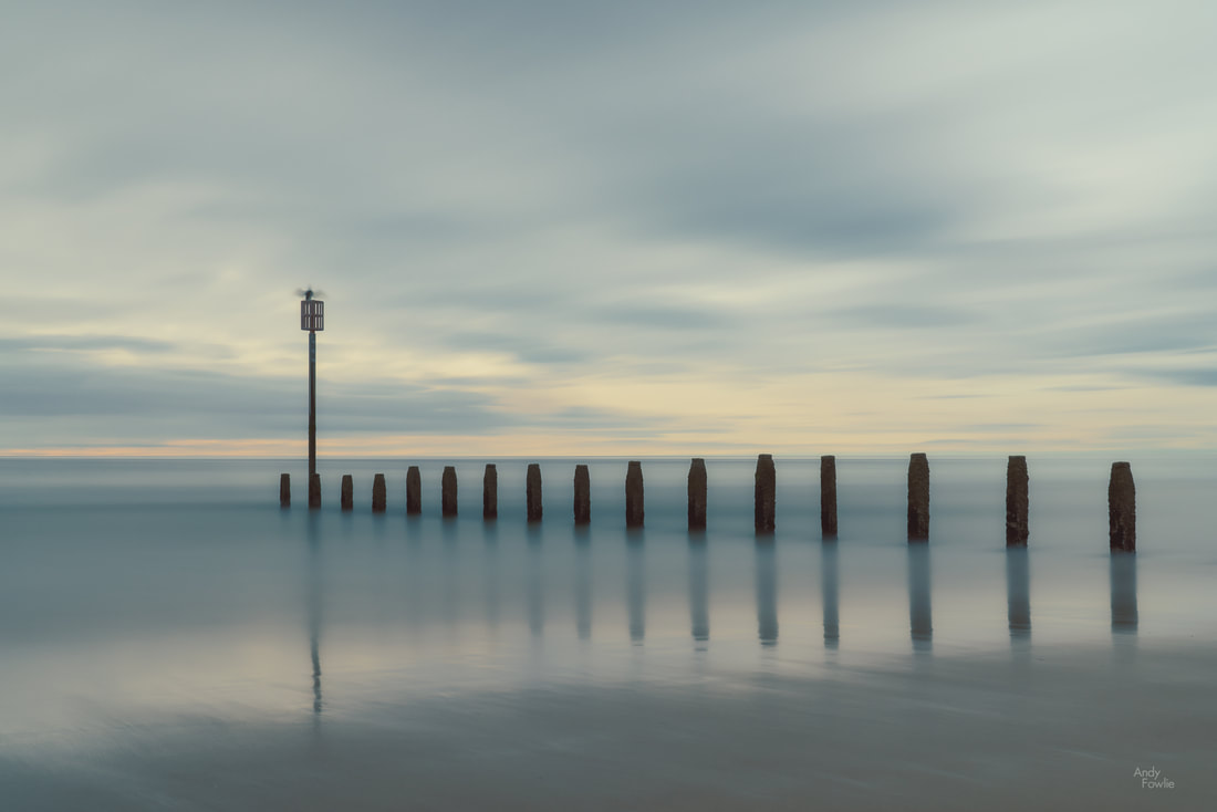
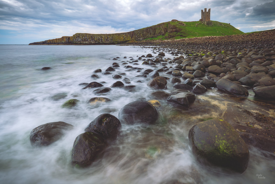
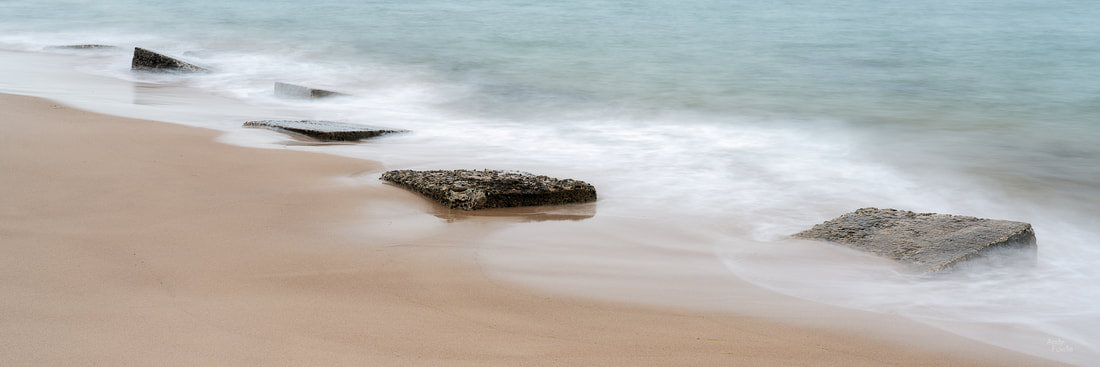
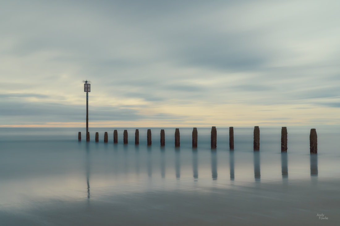
As this year has progressed I started to get the urge to spend more time by the sea with my camera. My happy childhood days were spent almost exclusively on seaside golf courses so maybe that partly explains why I often feel magnetically drawn back to coastal areas, I also find the seaside to be a most interesting environment for photography. In order to scratch this growing itch I headed for the Northumberland coast in the north-east of England which has beautiful and varied beaches and various other points of interest. When photographing scenes containing motion I think that the choice of shutter speed is the most important creative decision when it comes to selecting your camera settings for the shot. With a very short exposure you can freeze things in place, with an intermediate exposure you can blur the motion while retaining some detail of the path which things have followed through the frame, while with a very long exposure such as the picture above you can give a very soft and relaxing feeling to the whole image. The area of Northumberland is full of historical interest, many castles and grand houses decorate the countryside - visual reminders of some very different times. Many of these fortifications are coastal and can be used as background interest in photographs on the nearby beaches. While impressive structures can be of great interest, there is also a fascinating world in miniature on many of these beaches. Ancient geology, shaped by countless millions of tidal cycles, provides an infinite variety of shapes, textures and colours for the small scenes that play out at your feet.. At the start of the 1940's, as Britain stood alone (western europe being under the under control of the nazis) preparations were made on beaches and landing grounds along the whole of the eastern coast in case it was necessary to repel an invasion. In many places some remnant of these defences can still be seen today.
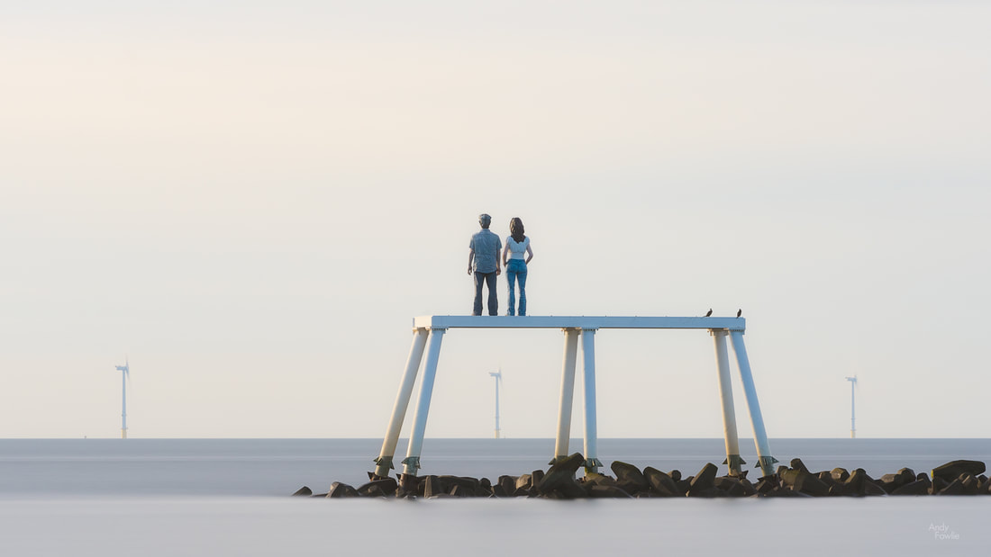
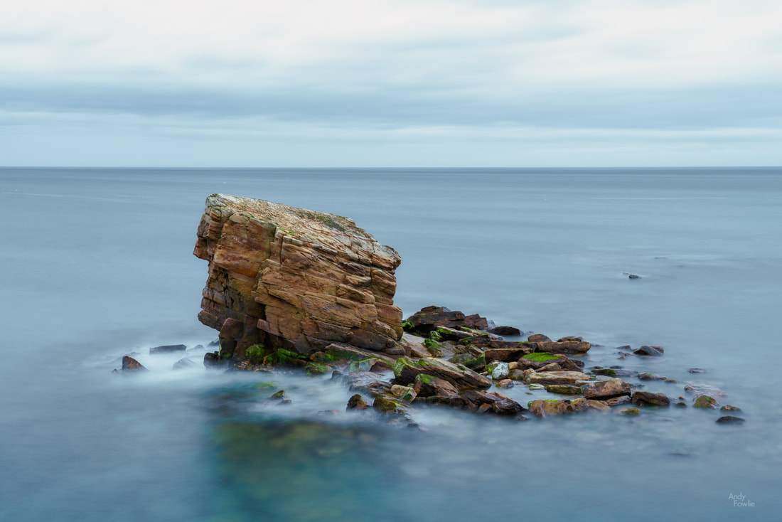
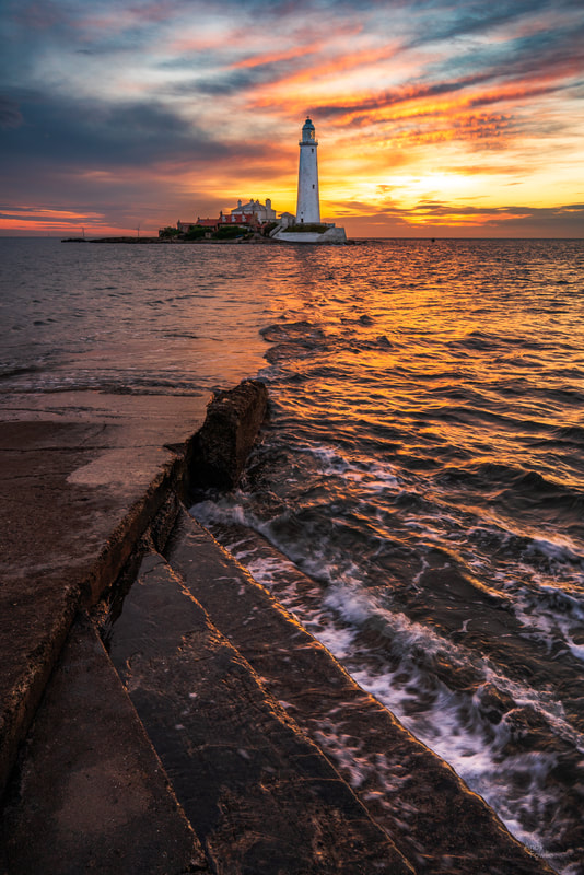
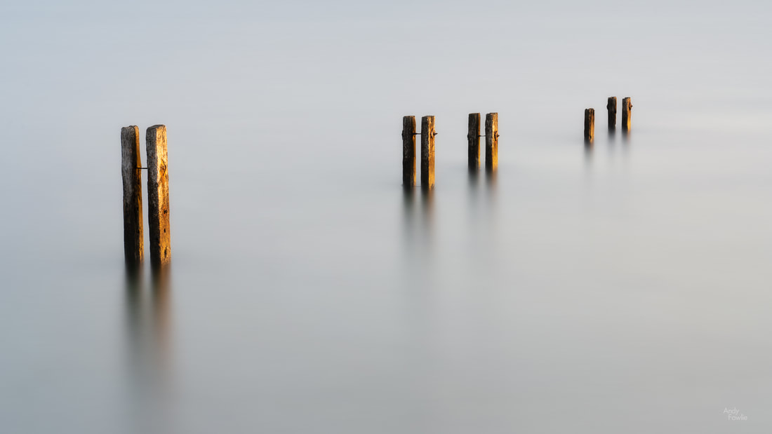
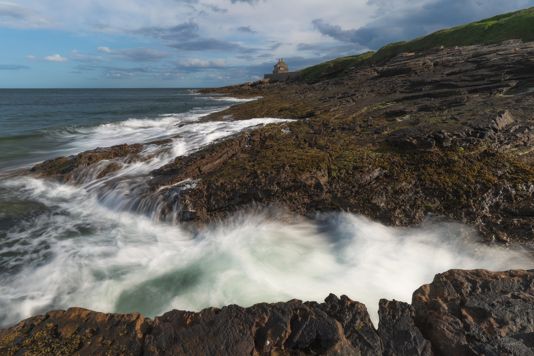
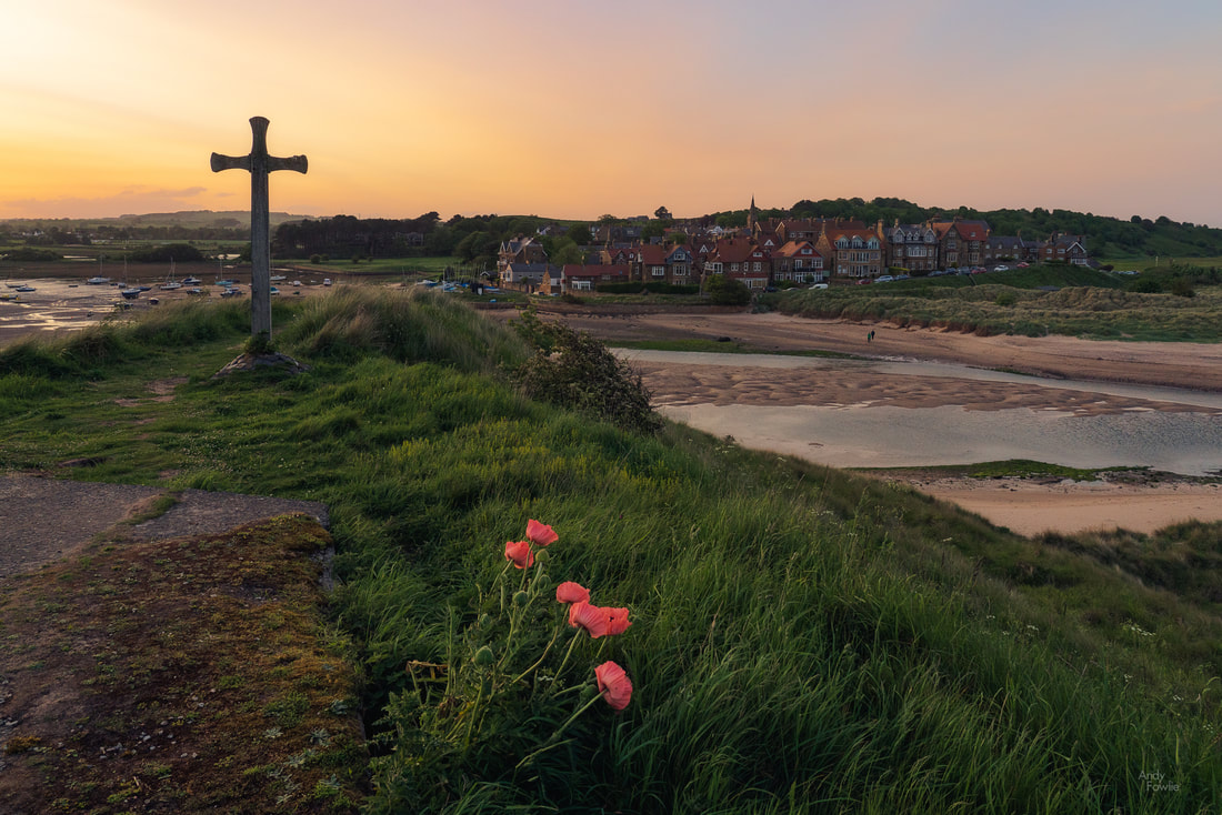
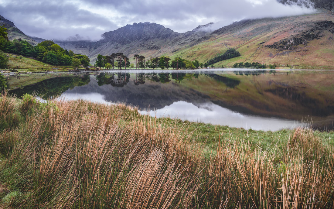
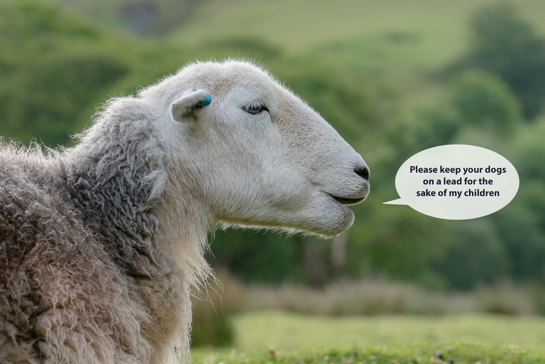
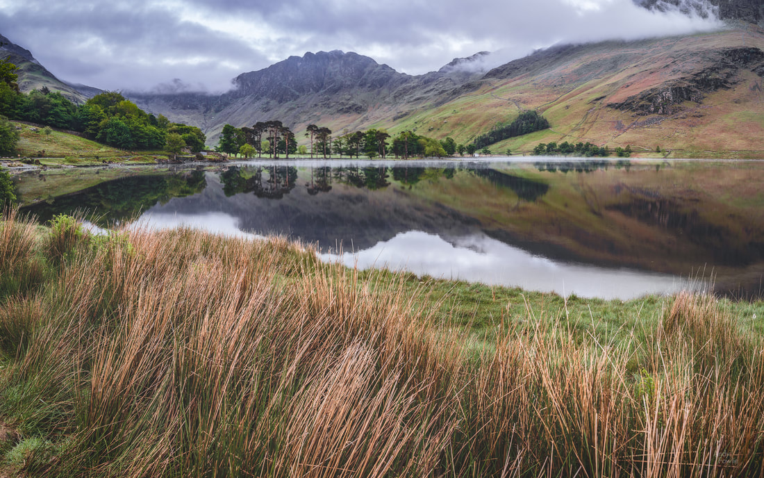
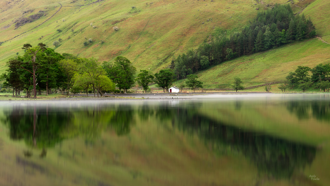
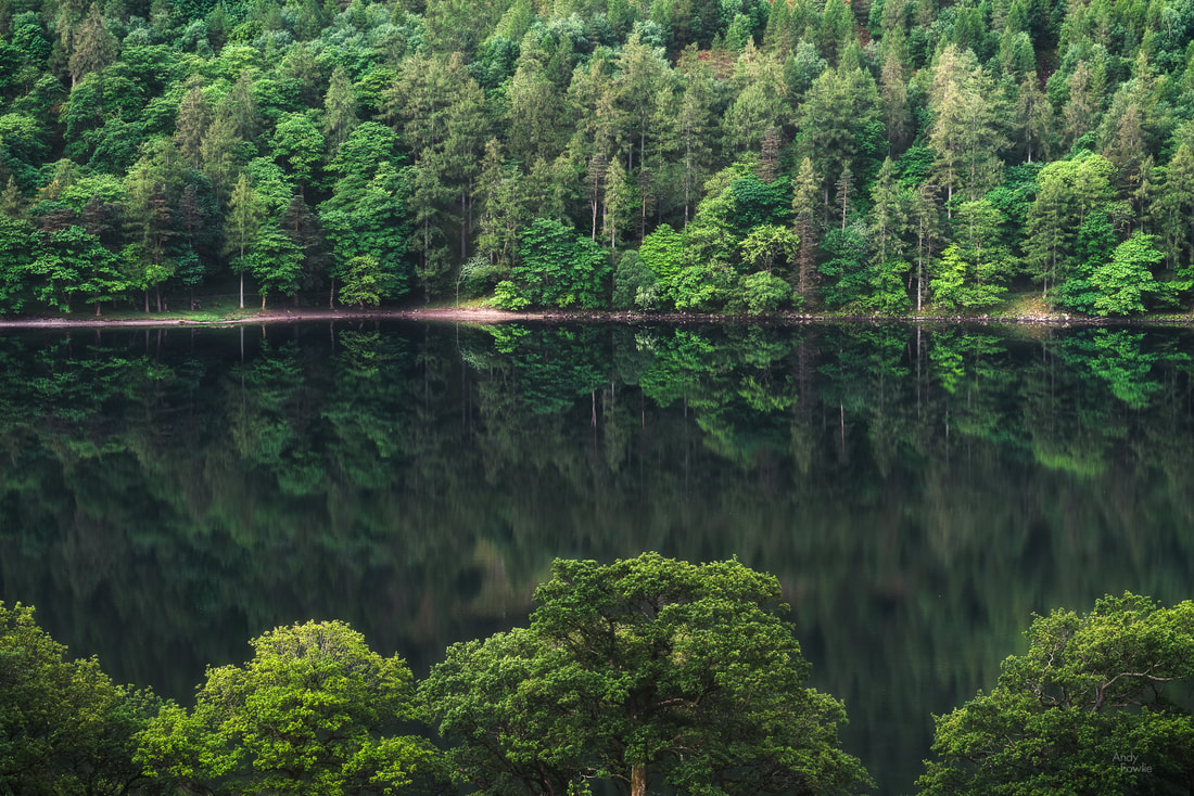
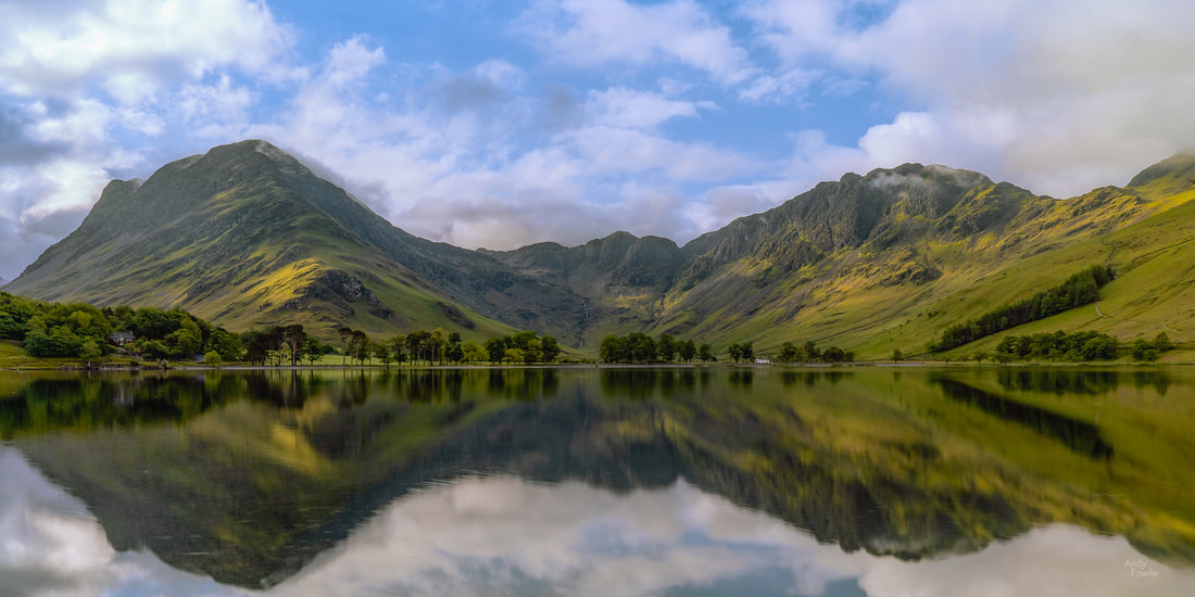
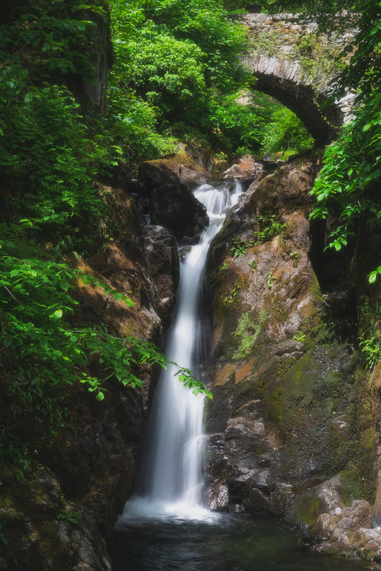
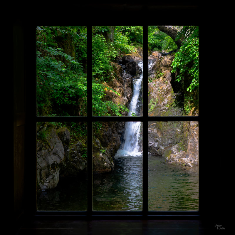
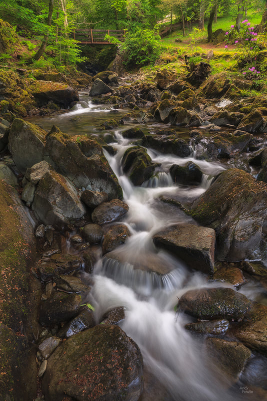
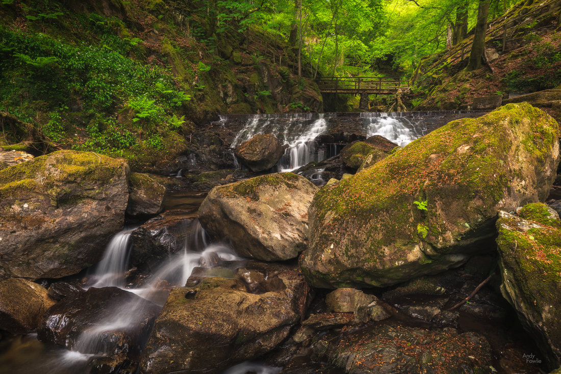
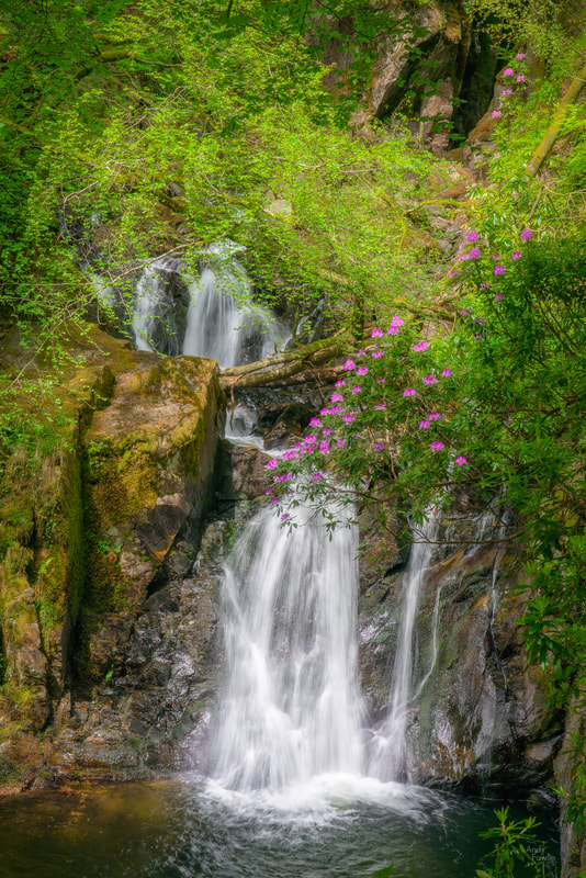
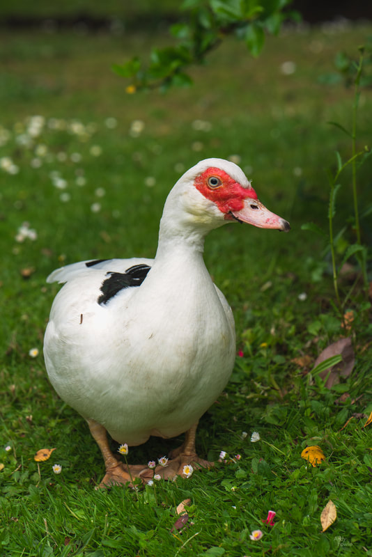
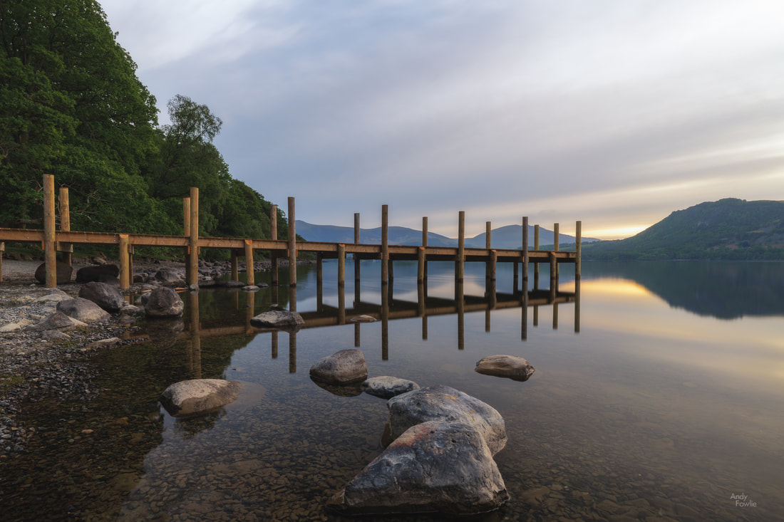
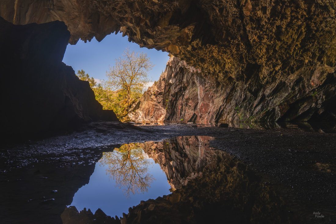
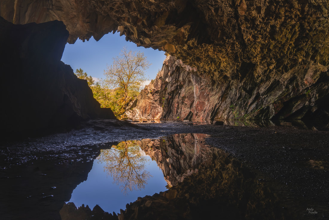
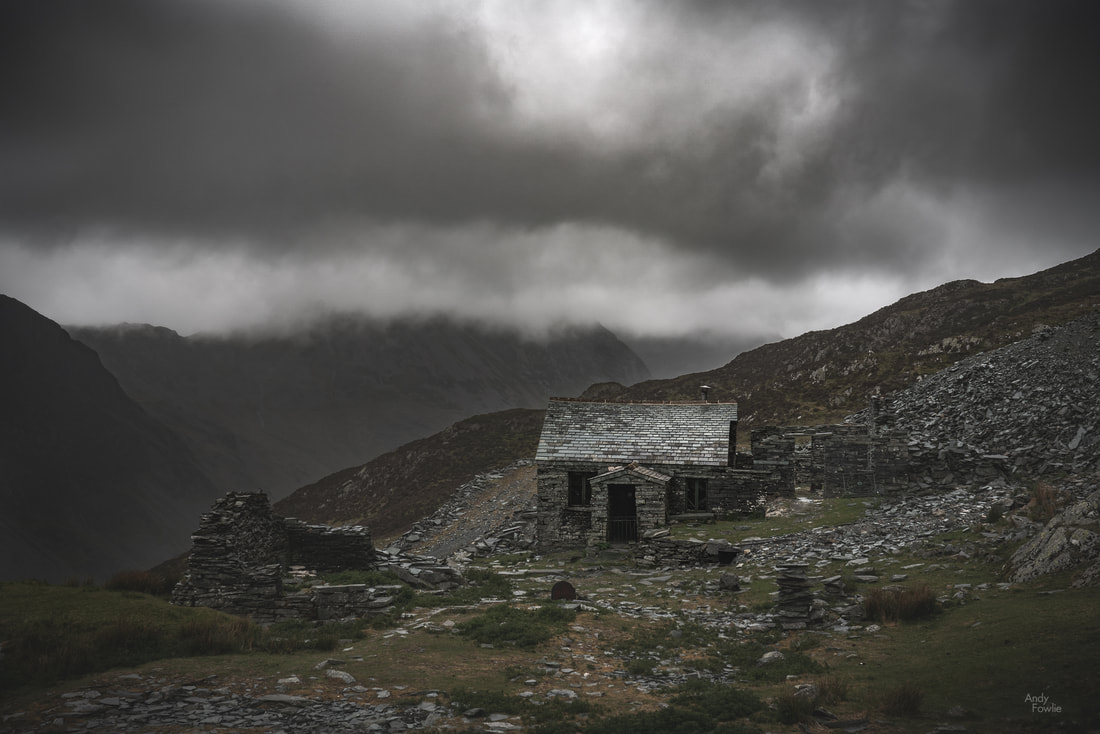
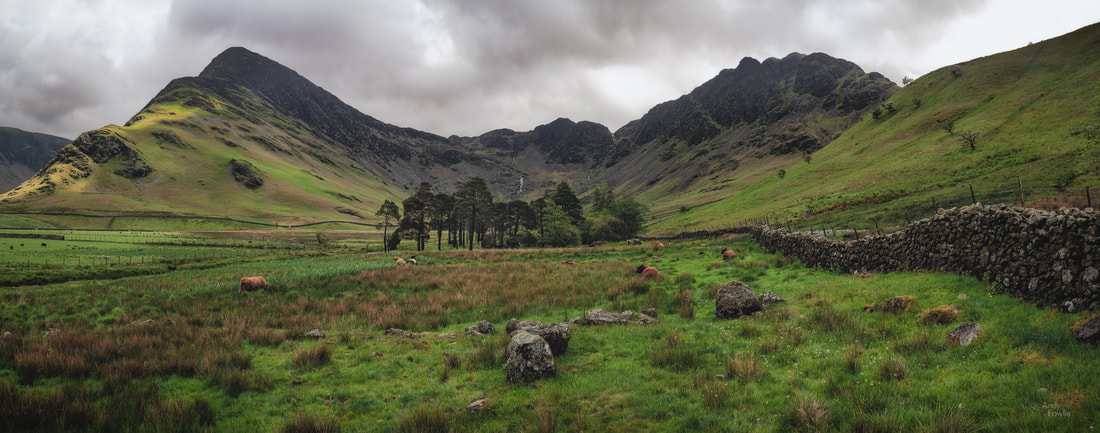
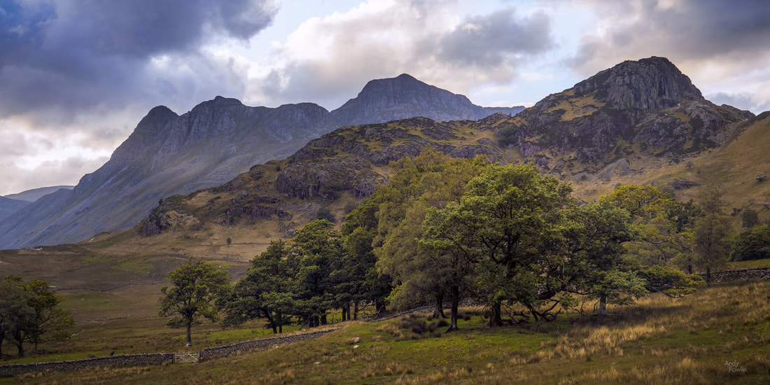
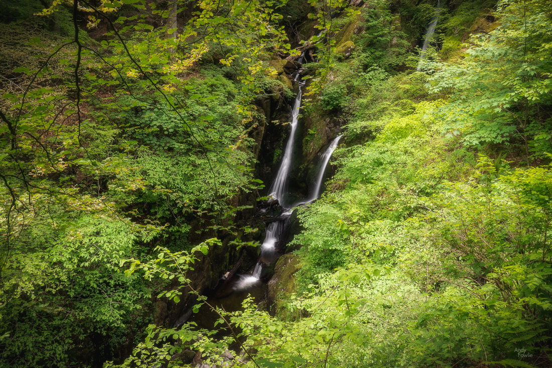
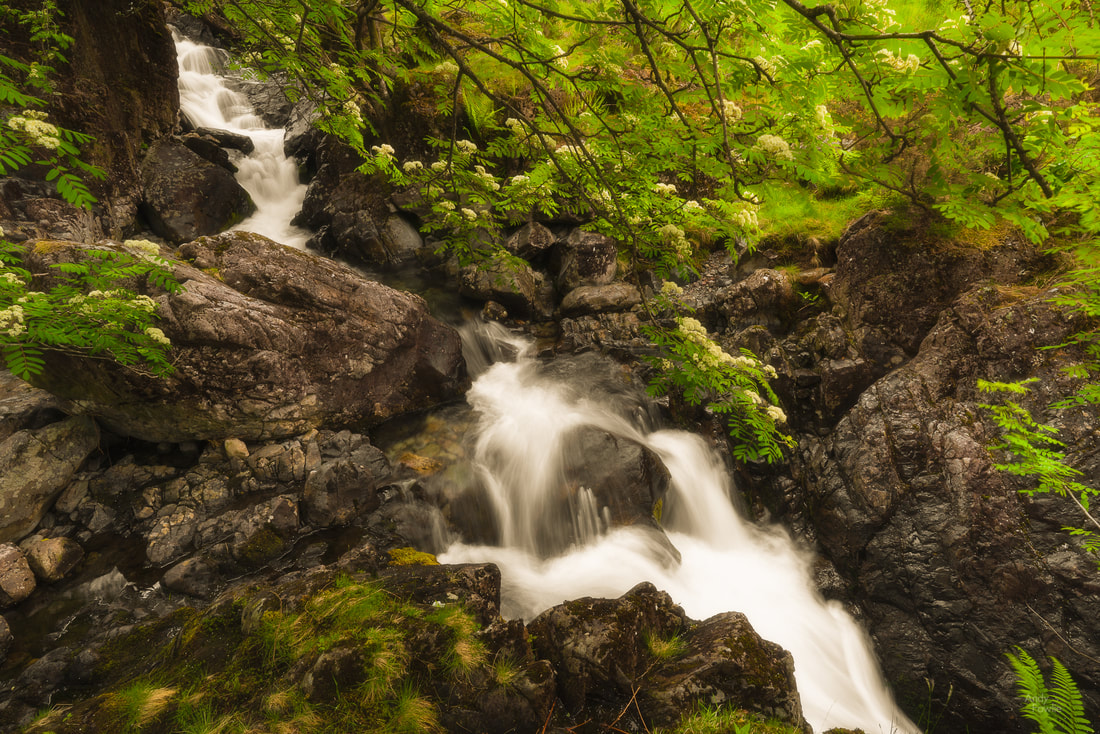
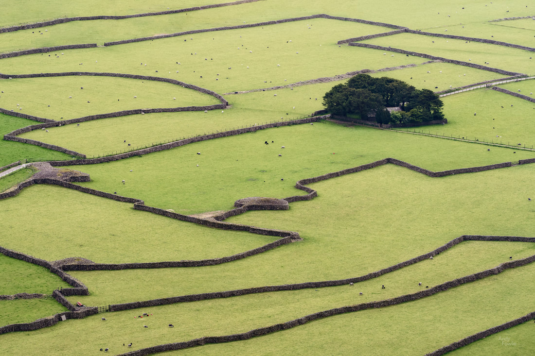
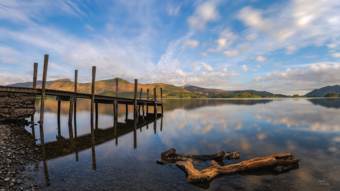
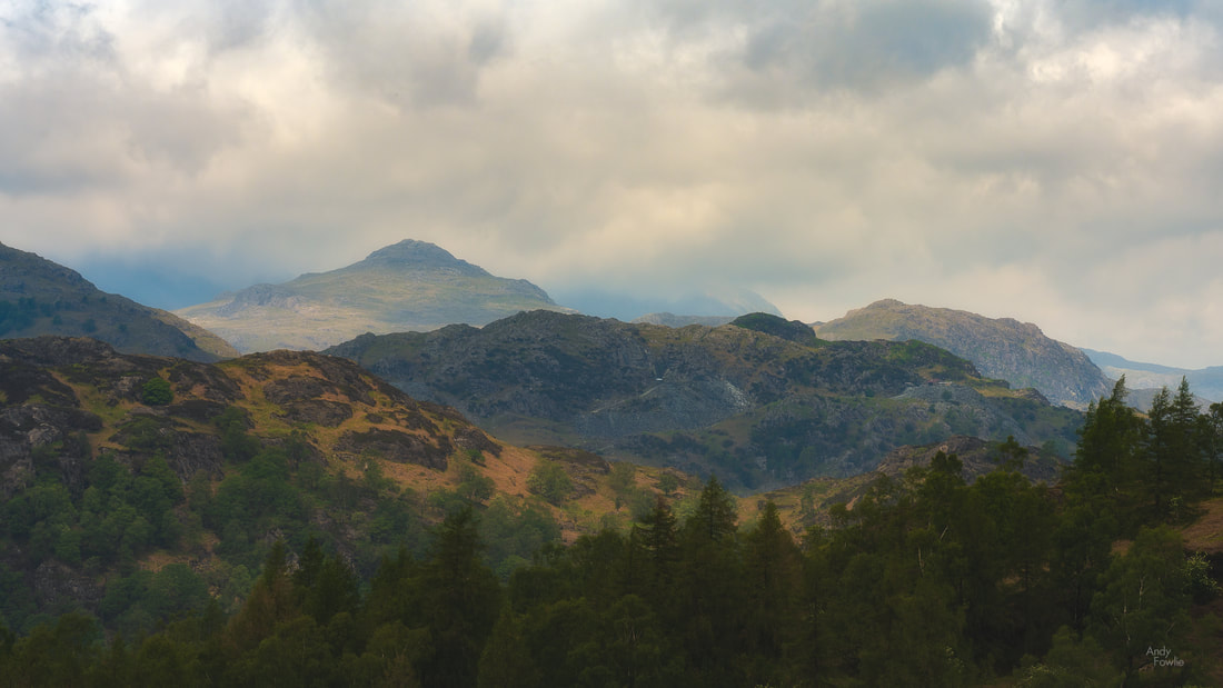
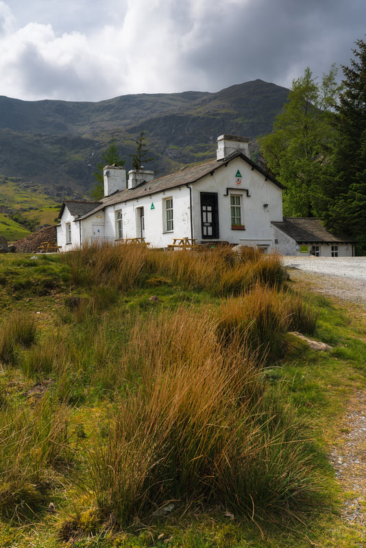
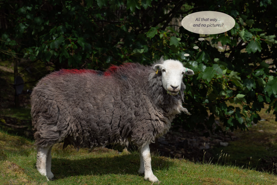
Compared to some of Northumberland's attractions, even the oldest castle seems like a newfangled creation. A drive to the middle of nowhere followed by a walk through the fields brought me to an ancient stone circle dating from the early bronze age some 4000 years ago. The monuments we erect have certainly evolved over the last four millenia. Sean Henry's bronze sculture "the couple" at Newbiggin-by-the-sea features a pair of 5 metre tall figures staring somewhat impassively out to sea from their perch on top of a breakwater about 100 metres offshore. The coast is an ever changing environment, often the day to day differences are imperceptable but as time marches on the cumulative change can be remarkable. In the town of Seaton Sluice there is a small sea stack, about 50m away from the beach, which is called Charlie's Garden. It is so named for the simple reason that it used to be a part of the mainland and at that time the plants on this piece of land were maintained by a chap called Charlie. If Charlie were around today he would find that the logistics of tending his plot had become somewhat more complicated. The tides on the Northumberland coast are pronounced with a difference of over 4 metres between low tide and high tide. This makes a remarkable difference to many locations, especially where the sea is shallow close to the coast. St. Mary's Island, near to Whitley Bay, demonstrates this phenomenon quite clearly - at low tide you can walk along a narrow road to the island and it's lighthouse while at high tide it is a true island, about 100 metres offshore. The remains of an old jetty can be seen near to the road which leads to St. Mary's Island, they seemed to make a perfect subject for a very long exposure (6 minutes in this case) image as the sun rose above the horizon, leading to a very minimalist composition. I have started to do an increasing number of very long exposures during this year, they require some small calculations as the camera does not take care of the settings automatically for exposures over 30 seconds, but when you want to get truly smooth seas then 30 seconds often isn't long enough. There is no other way to get this effect in camera, although it can be done absolutely convincingly in the computer by someone who knows what they are doing (and quite horribly by someone who doesn't). Along the coast, near to Howick, it is possible to find another peice of history. In the 19th century Earl Grey (yes, that Earl Grey), who was the prime minister in the 1830's, built a bathing house on the rocks where he might spend time with his sixteen children. Earl Grey's bathing house still stands to this day and can even be rented as a holiday home. There are many attractive little towns along this coast, but Alnmouth (at the mouth of the river Aln) was the highlight for me. I watched an unusually nice sunset from a vantage point on the other side of the River Aln, with a number of boats resting on the surface of the estuary waiting for the incoming tide to lift them up once again. This was my first visit to Northumberland but I hope it will not be my last. Until next time, Andy On my first visit to the Lake District my favourite lake, by far, was Buttermere. This relatively small, but very beautiful, lake is surrounded on all sides by steep fells which lead up to some interestingly shaped peaks. The lake itself has a long and thin shape which means that when you look across the water the peaks on the far side look comparatively imposing and immediate rather than sloping gently upwards into the distance. On my last day in the Lake District I visited Buttermere for the fourth time, hoping that I could finally take some pictures. The walk around Buttermere takes you past or through many working farms, mostly sheep farms, and it was very common to find sheep wondering around on the narrow roads leading through the village. Caution is needed when driving in this area and also if you are one of the many people who bring their dog to Buttermere for a walk, there are signs at multiple points on the Buttermere circuit telling of the danger dogs pose to newborn lambs and warning that farmers have the right to shoot any dog which is not on a lead and is bothering the sheep. The weather was still a bit questionable considering it was early summer, but at least the wind had reduced to some extent allowing for some reflection shots and making it possible to do slightly longer exposures without the shots being ruined by movement in the trees. The road which runs along the north-west side of the lake takes you past the lovely little church of St. James. The present church building is 180 years old but there has been a church of one form or another on that spot for over 500 years. As you make your way around the lake the path is often close to the shore but in the nesting season there are some detour put in place to keep traffic away from areas containing young birds. These diversions take you up to the same level as the road and offer some different views across the lake. On the far side of the lake (away from the road) then the path sometimes takes you up into the forest and there is also a couple of waterfalls in the area - all in all there is plenty to see and a good variety of views at Buttermere. I am happy that I was finally able to get at least some shots by which i can remember Buttermere, even though it took 4 visits and still the conditions were far from ideal, hopefully one day I will get the chance to be there again with a bit better luck. I left Buttermere behind for the final time and headed for one final Lake District destination, the Rydal Waterfalls in the extensive grounds behind Rydal Hall. The hall is a grand old building, the former country home of the Le Fleming baronets. The gardens are very attractive and well taken care of and feature the lowest of the series of waterfalls as a highlight. One unusual feature of this waterfall is that there is a small building known as "the Grot" which was erected for the sole purpose of comfortably viewing the waterfall. As you follow the course of the stream up the hill from this lower waterfall you come to some minor rapids. Above the rapids there is a nice looking weir with various choices of foreground interest... ... and finally at the top of the estate there is one last waterfall. After my Lake District trip ended I had arranged to meet my parents in the seaside town of Grange-over-Sands, a place which I had heard mentioned many times but never visited before. When my father was a small boy it had been a tradition for his family to spend a few days in Grange as their summer holiday so it seemed like a suitable place to meet up and reflect on old times. We spent a very nice couple of days there before they returned home to Scotland and I continued my photography trip by spending some time in Northumberland on the east coast of England. There was not much focus on photography in Grange over Sands, but I did manage to photograph my 204th different bird species, a Muskovy duck at the duck pond. I very much enjoyed my first visit to the Lake District, despite the weather and the rather expensive "paying and displaying". I look forward to visiting the area again! until next time, Andy This may sound strange, but with one notable exception I did not find the lakes to be a particularly interesting part of the Lake District... but in fairness I can admit that "the Hills, Trees, Caves and Waterfalls District" would be a far less catchy title for this beautiful area. It may also be the case that visiting on a less windy week would significantly change my thoughts on this matter. My trip continued with another early morning wake-up and a drive around Derwent Water to Brandlehow Bay where I hoped to photograph one of the old jetties which are still in use as stops for the boats which carry passengers to different points around this large lake. The weather was quite attractive for a change on this morning but I was a bit disappointed to find that the old jetty was now a new jetty... the fresh clean flawless light coloured wood probably ushered in a new level of comfort and stability but until a few seasons have taken their toll it has been robbed of some of it's character. My next destination was Rydal Water in the village of Rydal. This lake is another which has good paths allowing you to walk along it's length, either along the edge of the lake or slightly further back from the water allowing you to pass through some attractive woodland, I took the woodland path on an unusually beautiful (but stilll rather windy) day. Another point of interest in the immediate area is Rydal Cave, another impressive cavern which is man-made in origin having been mined for slate many decades ago. Luckily this time there is no claustrophobic tunnel to travel through to reach it but there was a shallow water hazard to negotiate in order to get to what I considered to be the best shooting position. After walking for a while at Rydal water I decided it was time for some more hill walking. The weather forecast looked semi-reasonable so I drove the winding road up the Honister Pass to the Honister Slate Mine where I parked my rental car and set off to climb up to Warnscale Bothy, a tiny old hut with clear views down the valley to Buttermere below. I told myself that the darkening clouds and hints of rain were not going to be anything to worry about and also told myself that the place would be easy enough to find based on the simplistic map I had in my guide book. The walk to the bothy is not very long, about 2.5 kilometres, but the elevation change is quite significant for such a short journey, first you need to gain about 300m as you climb up the shoulder of Fleetwith Pike and then descend 200m town the other side to the bothy. This route is not however provided with idiot-proof signposts and after completing the required ascent (plus some extra that I later realised was not required) I soon found out that my guide book was not sufficient to navigate to my destination while the offline maps in my phone (no signal here) were not sufficiently detailed to be much help... of course the rain was also falling and the clouds were darkening further. A perfect moment to remind yourself that you may not be a genius. Although I was not 100% sure how to get to the bothy it would have been very simple to follow the trail back to the car so this was a frustration rather than any kind of threat of being lost in the hills. I continued in a direction which seemed plausible and was relieved to see a hut a few hundred metres ahead of me as the rain further intensified. As I got closer to the hut it was pretty obvious that although this was a hut, it was not the hut I was looking for, there were no magnificant views down to Buttermere. I decided that it would have to do and took some photographs before retreating down the mountain for some coffee and a bacon roll... much needed if not particularly deserved. As the storm set in for the evening it was pretty clear that sunset was cancelled so I called it a day and thought I could catch up on some sleep. The forecast was promising that the storm would disappear about an hour before sunrise the next morning so I planned a dawn mission to Buttermere. My alarm went off at 0300 and I was on the road by 0310. I was not expecting heavy traffic so I decided to take a very narrow road through farms and a hill pass to shave a few minutes off my journey and be there in plenty time for whatever spectacular sunrise might await me once the storm stopped. This was good thinking and I was in position at Buttermere well before 0400... but the weather was not following the weather forecast. There was absolutely no sign of the rain stopping so I decided to take a walk around the lake for scouting purposes. I completed the circuit in about 2 hours, including a detour caused by a bridge being out, and got a strong feeling that Buttermere was going to be my favourite of the lakes in the Lake District if only I could get some half decent conditions. I headed back to Netherdene Country B&B for breakfast. Another strong feature of the Lake District is the pay and display car parks, there are many of them, very many of them. Most of the car parks at popular natural attractions are owned by the National Trust, some by local authorities, some private... but one way or another you are going to do a lot of paying and a lot of displaying. If you are a paid up member of the National Trust then you can park in all their car parks for free but as a short-term visitor from another country an annual National Trust membership does not make much sense. The way the payment terms work out (e.g. £5 for up to 2 hours, £7.50 for a day) is quite reasonable if you stay in one place for the whole day, but if you want to visit many places per day then it gets very expensive... so after breakfast I returned to Buttermere to use up some remaining parking hours from my failed dawn mission. The weather was still unpleasant and not very photogenic but by now I at least started to know what I would want to shoot at Buttermere if I got a proper chance... and I had walked 20 kilometres by the time I had lunch. I continued my journey, deciding to visit Blea Tarn, another potentially lovely little lake near to Little Langdale. First I had to endure a 25-30 minute detour along a horrendous hill road (due to the navigation system in my rental car having some "special ideas" about where the Blea Tarn car park was located) but eventually i got there and paid yet another £5 parking fee. The wind was once again too strong, even in this more sheltered destination, and all thoughts of reflections were removed from the equation, which removed all interest from shooting the tarn itself. The views over the Langdale Pikes were still spectacular however. Well, that was one of those days, a lot of effort for no reward. It wasn't the first and it won't be the last. The next day it was rainy again. Instead of imagining for the third consecutive day that the weather would bend to my will I decided to tailor my activities to the conditions (a much more sensible appraoch) and seek out some waterfalls. Overcast conditions are ideal for waterfall shooting. I drove to Ambleside and walked up the hill to Stockghyll Force, a lovely waterfall in leafy green forest. From here I took a bit of a longer drive to Wasdale Head from where a few other waterfalls can be found. As the rain continued to fall I decided to climb part of the way up Kirk Fell to get a good view over the sheep fields down below... I suppose that if I had a drone I could have got the same shot with a great deal less effort. Ritson's bar in the Wasdale Head Inn provided an excellent hot meal for me after I returned to ground level and I reflected on how much better my results had been when I was taking my lead from the weather rather than fighting against it. Hopefully I can put that learned lesson to good use from now on. Until next time, Andy Having spent my time over the past couple of years exploring the rest of Europe I started to realise that I had not really seen much of what my country of origin (the UK) has to offer. I have seen quite a few Scottish highlights but things that lie south of the border were more of a mystery to me. As spring started to think of giving way to summer I headed for the beautiful Lake District in the north west of England. I took advantage of the convenient direct flight with Finnair from Helsinki to Edinburgh and made the 3 and a half hour drive south to the Lake District, starting my trip by exploring the sights around Ullswater. Before my visit began I imagined that I would be spending a good deal of time shooting lake reflections and waterfalls, but in practice both of these things were slightly limited by the prevailing weather conditions. My visit coincided with a period of quite heavy wind causing choppy water surfaces which spoiled almost all hopes of shooting reflections on any large body of water. The weeks preceeding my trip were also unusually dry, reducing many of the beautiful waterfalls to an unimpressive trickle. This was to be one of those trips where the weather was not on my side.
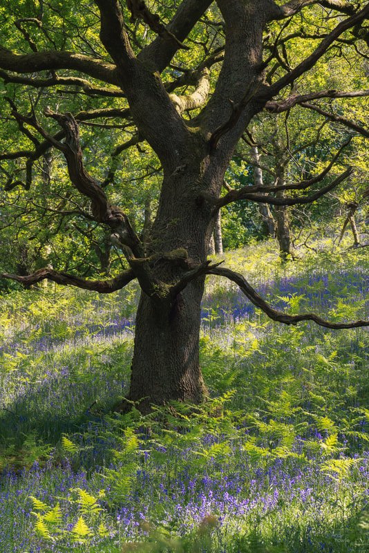
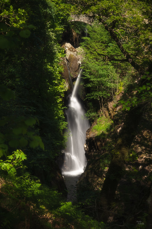
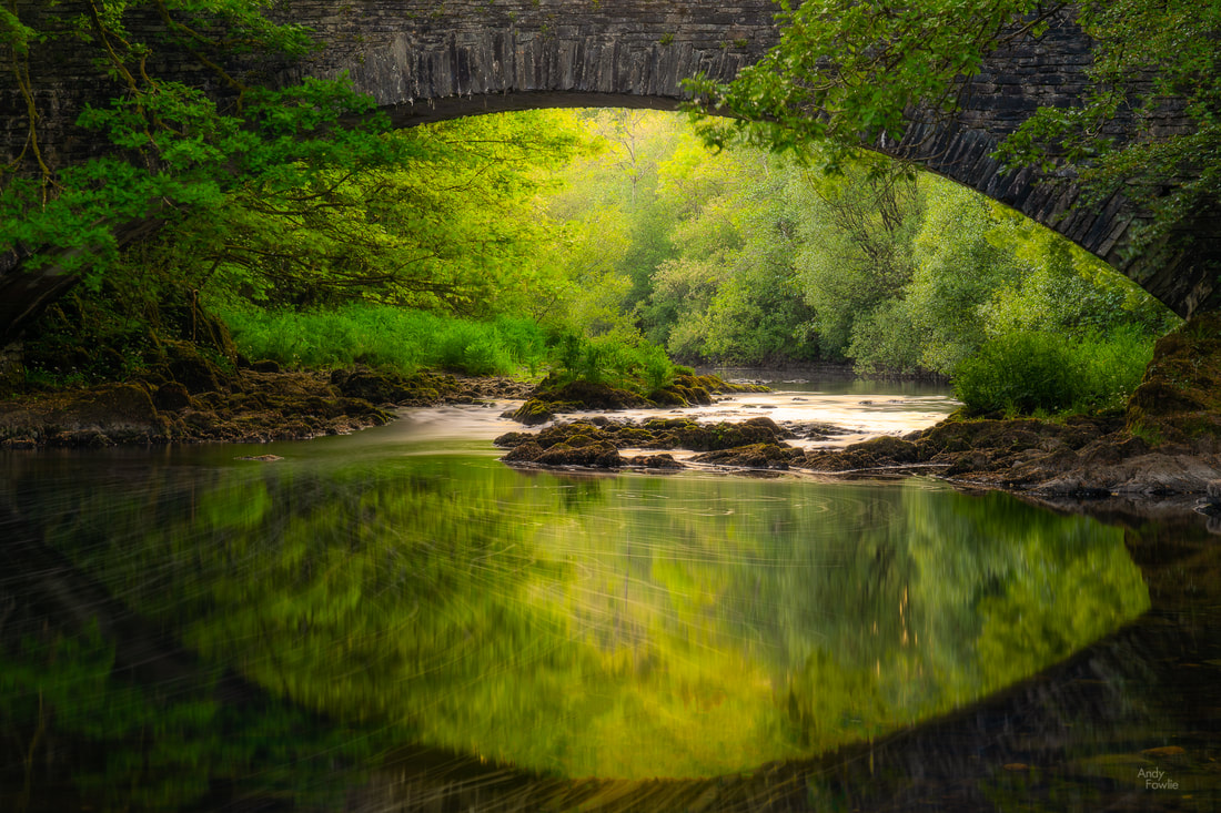
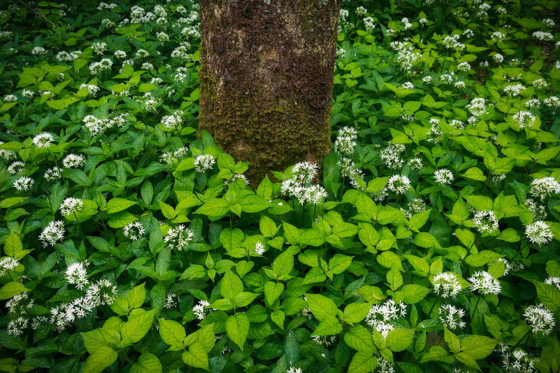
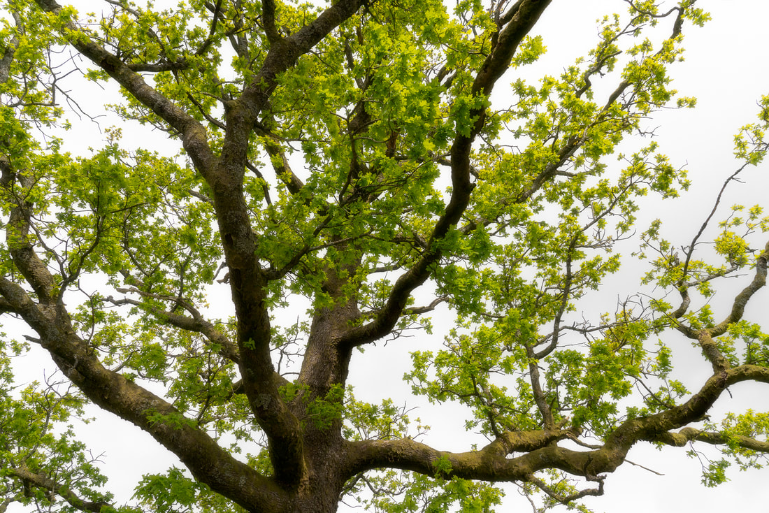
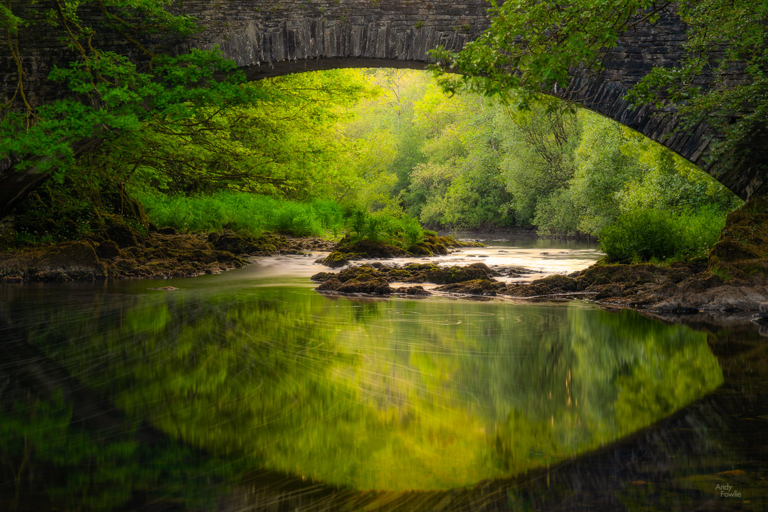
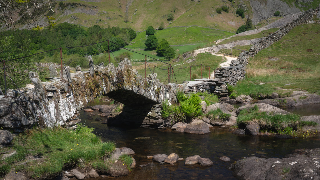
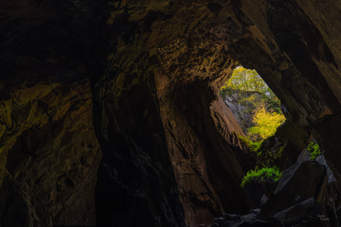
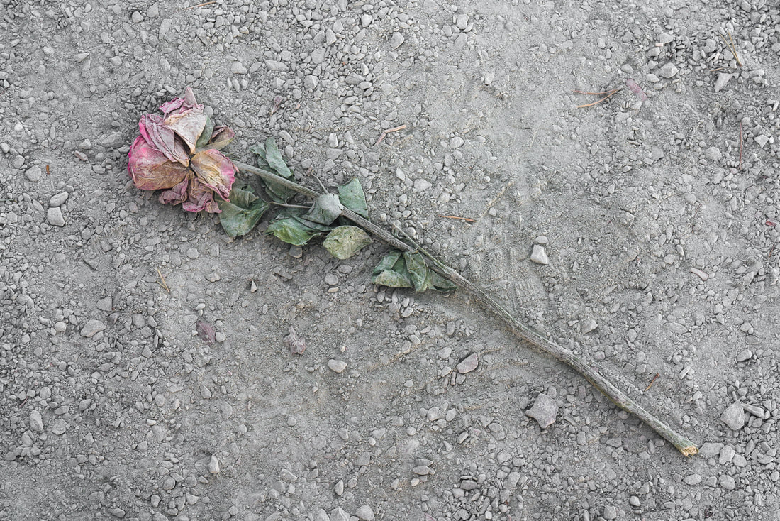
One slight hardship when travelling in late May is that sunrise starts to be at a very inhospitable hour. With the sun due to rise at about 0430 I tried to be in place at my sunrise destinations by about 0345 each day... on this trip I seldom got any reward for this, but it is a good habit to get into. I have never found weather forecasts to be a great predictor of whether the weather will look interesting or not so unless it is 100% horrendous I usually try to be in position in case something good might happen. This first morning was one of the best ones of the whole trip and the sky was filled with a multitude of small clouds in the hours following sunrise. There was some wind but not so much that all reflections were completely ruined, allowing for at least a partial mirror effect in longer exposure photography. The outcome of the sunrise photography session has a noticeable impact on the feeling of the day. With a decent image in the bank you can feel like anything else that you can take from the day puts you into profit, while a difficult morning can put extra pressure on the rest of the day. I have tried to persuade myself to just accept whatever I get and carry on but that does not always come easily. On my way back to the Great Wood car park I became interested in the flowers on the forest floor and stopped to capture another image before heading back for a well deserved breakfast. One feature which will rapidly become apparent to Lake District visitors is the network of very narrow roads with tall leafy hedges at either side. When this is combined with large numbers of visitors you very quickly get to the situation where nobody is able to go anywhere in any sort of hurry. A morning drive to beautiful Tarn Hows was a prime example of this, crawling along the roads on a journey which seemed to take for ever. A tarn (not a word I had encountered before) is a mountain lake which forms in a hollow left behind by a retreating glacier and there are a few tarns dotted around the Lake District. Tarn Hows is a particularly beautiful example, surrounded by small hills and offering wider views towards the Helvellyn range and the Langdale Pikes. The Tarn has a level and accessable path which follows the lake shore in a 2.5km circuit, making for a very pleasant walk. One of the thing that I was struck by during my first days in the Lake District was the beautiful old trees which were in full leaf all over the area. Trying to photograph these is always an attractive idea but it can be rather hard to find good compositions, especially if there are other trees in the vicinity. Exploring a sequence of rapids near to the tarn revealed the extend of the drought... but "luckily" there would be a horrendous amount of rainfall in the coming days to restore some normality. Unfortunately while I was able to witness this cure being administered I was no longer around to see the results. Despite some slight disappointment with the weather and the light I very much enjoyed visiting Tarn Hows and I hope I can return one day, it seems like it would be at it's absolute best with autumn colours so maybe I will try and make my second Lake District trip at that time of year. After my morning at Tarn Hows I headed for the town of Coniston where I had a quick lunch before embarking on a climb towards Levers Water, a high mountain lake above the village. The guide book i had with me said that it was a fairly easy round trip of about an hour to get to and from the lake... which turned out to be highly optimistic. After climbing steadily for nearly an hour on a pretty warm afternoon I reached a sign telling that it was only another mile, a mile which coincided with the path becoming significantly steeper. Eventually, I made it to the lake... where I took precisely zero pictures as the wind made the surface of the lake completely useless for reflections and I did not see any other interesting compositions. It is always the case on any trip that some locations just don't offer what you hoped for in the conditions of the day. The walk down again, gravity assisted, was somewhat easier but I was pretty sure that the sheep roaming the hillside were giving me judgemental looks as I went past. According to my fitbit the walk from Coniston to Levers water and back had taken over 12000 steps... but I was not done for the day. I drove to Lake Windermere and had a look around that area. With dull and lifeless skies, branches blowing in the wind and disrupted water surfaces it was necessary to find alternative things to point my camera at if I was going to rescue the day. My final stop on this long and tough day was the lovely stone bridge at Clappersgate. This was my sunset destination and I was treated to slightly better conditions as the sun actually came out for a little while and the well-sheltered, slow-moving river was somewhat calm... it did cross my mind that I could easily have stayed in bed until sunset time without missing too many great photography opportunities, but it is always a lot of fun for me to explore new places even if they don't lead to great photos. The following day, after observing a miserable and colourless sunrise at Derwent water (the dark grey became medium-light grey), I made my way to the charming, tiny and slightly in-accessable village of Little Langdale. From there it is a short walk to Slater Bridge, an ancient stone bridge over a small river, connecting the village to an area used for quarrying on the other side of the water. The bridge itself was an interesting subject, but I was a bit put off by the metal poles and wires which are attached to it nowadays and also by the metal fences which are in place to keep you from parts of the surrounding area. Not everyone was respecting these barriers but I felt that I should, which limited my possibilities for shooting. Having crossed the famous old bridge I continued onwards to the old quarrying area, suppressing my discomfort as I ventured through a narrow tunnel into Cathedral Cave, a large chamber with a hole in the roof which lets the daylight stream in. For sunset on this day I walked to Friar's Crag, a viewpoint over Derwent water which was described by 19th century writer and art critic John Ruskin as offering one of the finest views in Europe. With all due respect to Mr. Ruskin... I somehow doubt he would have been similarly moved on this particular evening. While the view itself (not helped by the deeply unattractive light which was on offer despite the sunset hour) left me rather cold, I found something more interesting at my feet, a single red rose which had been discarded and trodden into the dust. This hinted at a million possible stories of rejection and heartbreak (and a few million less interesting tales), perhaps a earnest proposal of marriage or a devoted declaration of true love had been rejected in a cruel manner, crushing someones dreams for eternity. Whatever the unknowable story, I deemed this to be a more interesting subject than the famous view in front of me. In the hope of avoiding reader fatigue I think I will sign off for this post and return to the lake district once again in my next blog. Thanks to everyone who reads this, I hope that you have enjoyed this post. Please feel free to comment in the comments section below or via my Andy Fowlie Photography facebook page. Until next time, Andy |
AuthorAndy Fowlie See also:
SubscribeEnter your email address to receive notifications of new blog posts
Archives
December 2019
Categories
All
|
- Hub
-
Portfolio
- Flow 2019
- magical Vestrahorn 2019
- Fangorn 2019
- a snowstorm at Kintail 2019
- the village 2019
- a bolt from the blue 2019
- peaceful purple pastels 2019
- a Slovenian sunrise 2019
- the cormorant 2019
- Elgol on the rocks 2019
- weeds 2019
- pretty in pink 2019
- Ritsons Force 2019
- Sakrisoy on the Rocks 2019
- the Clappersgate eye 2019
- the Falls of Falloch 2019
- in the jaws 2019
- the devils teeth 2019
- tranquility 2019
- the old man of storr 2019
- Destinations unknown
- Articles
- Recognition
- Contact
- Store
- About







 RSS Feed
