|
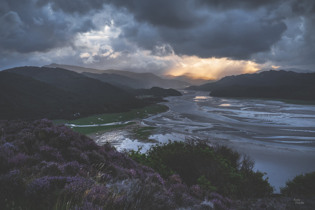
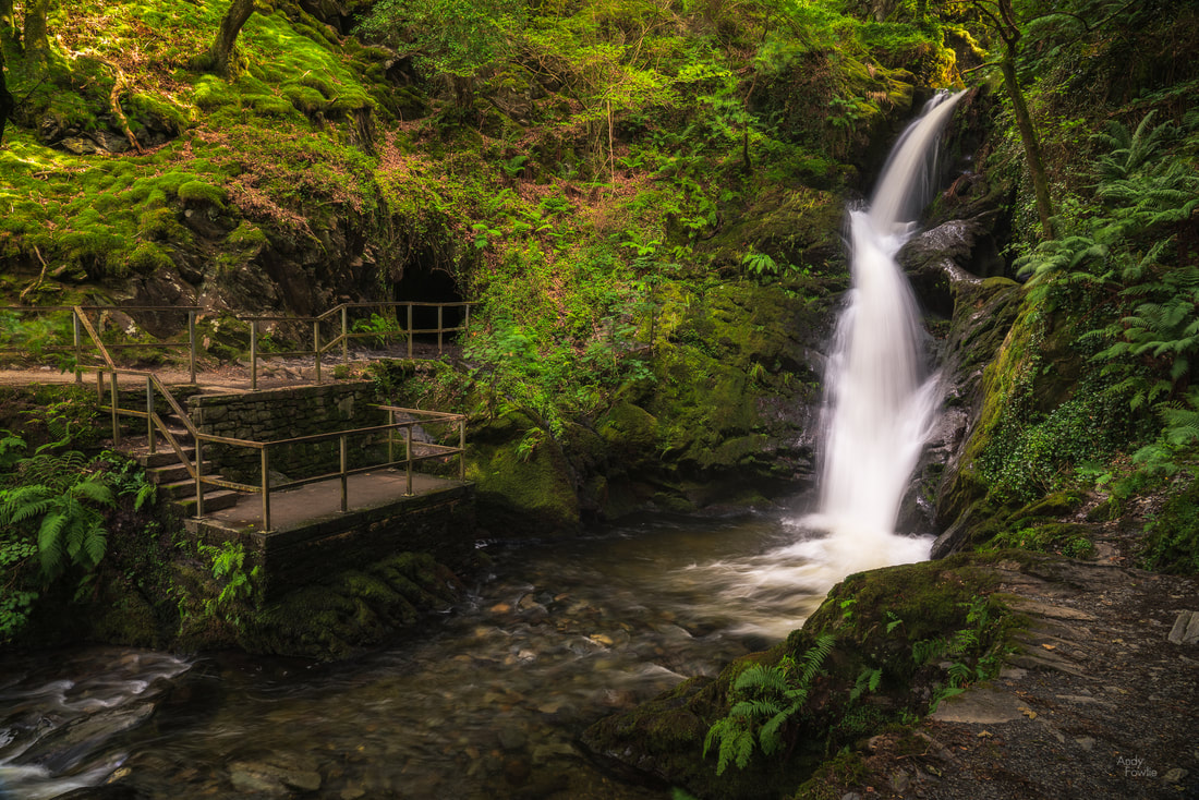
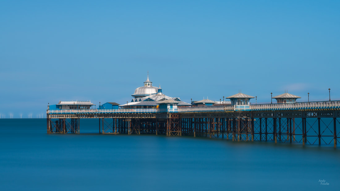
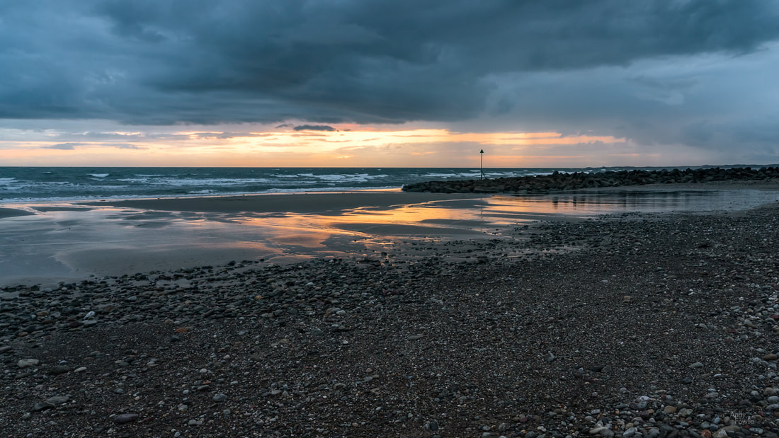
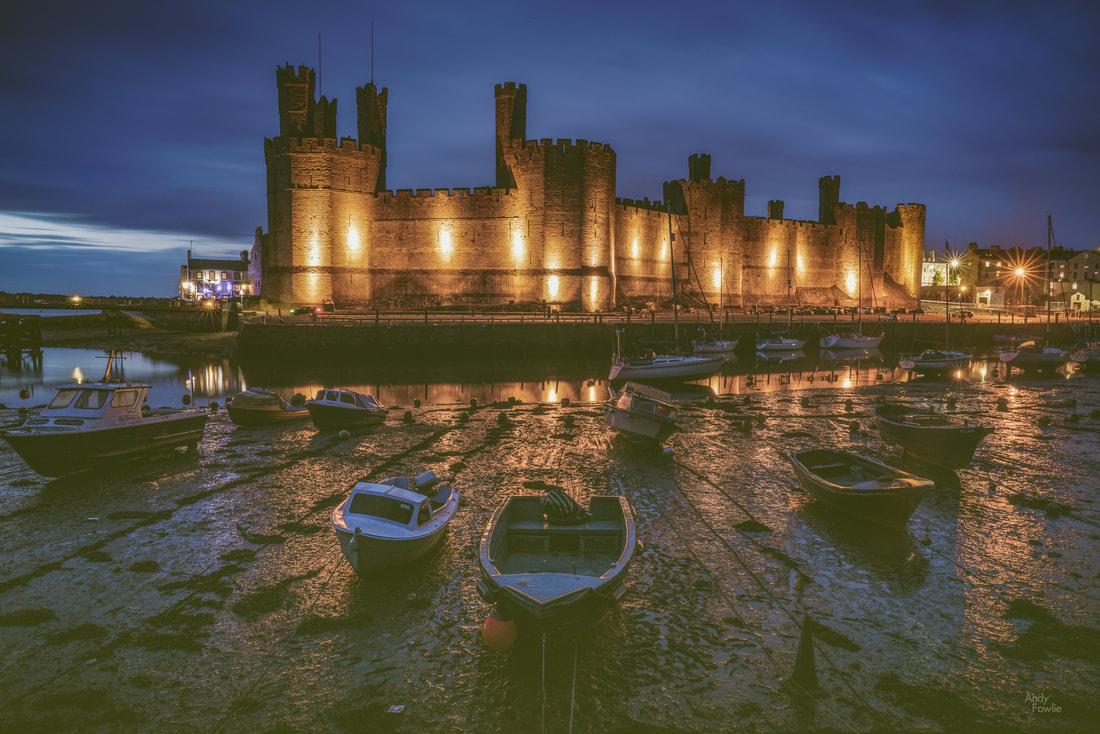
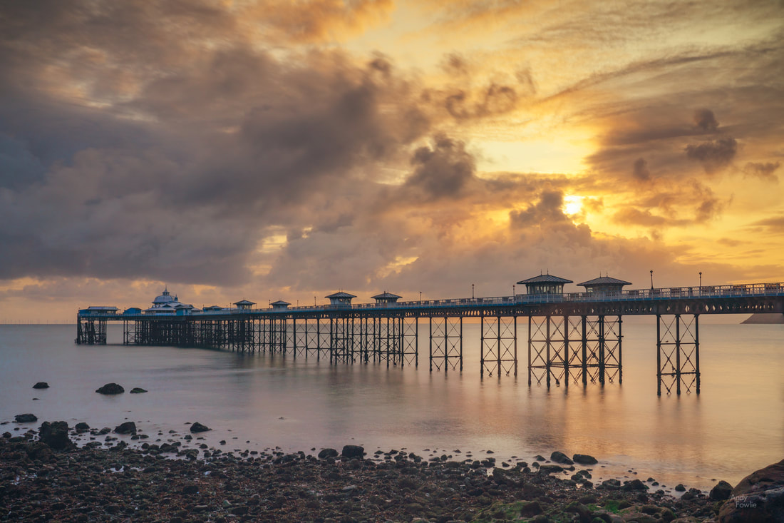
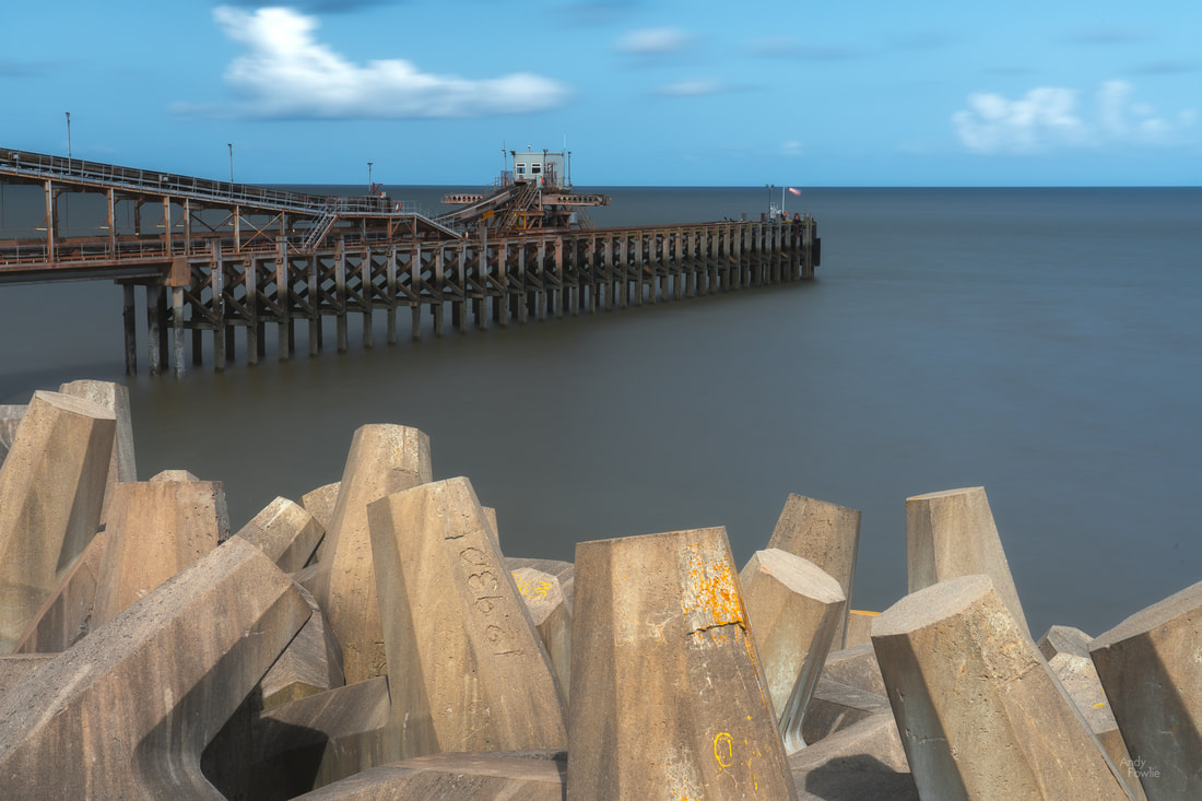
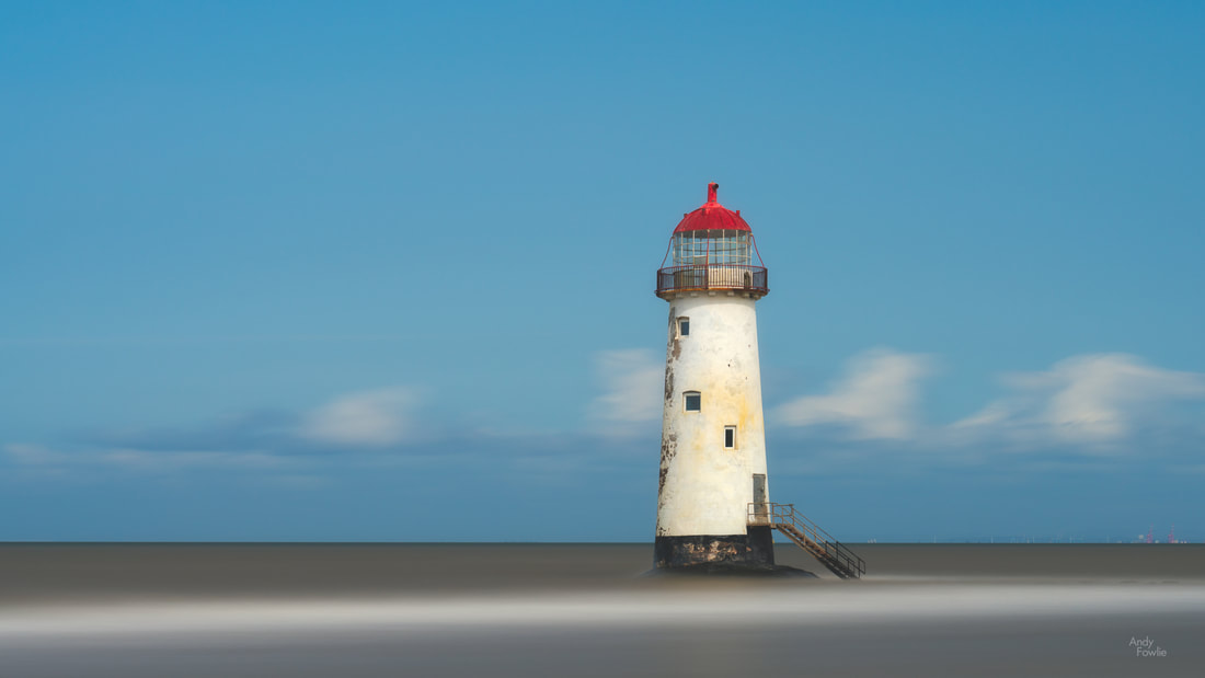
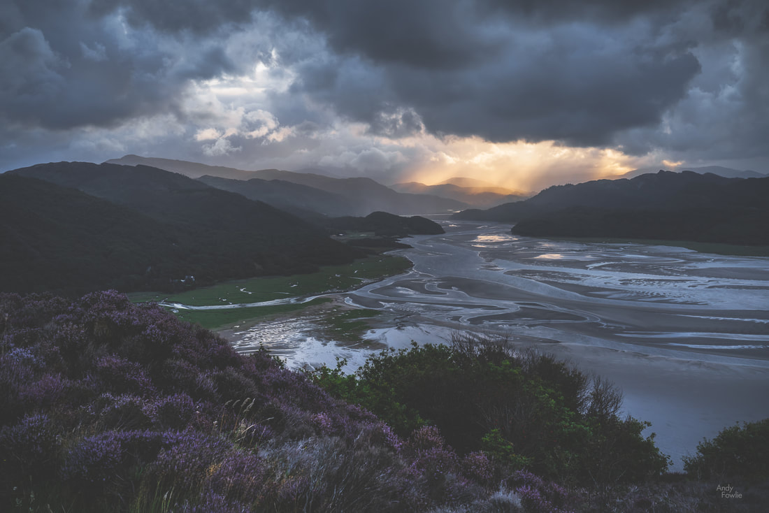
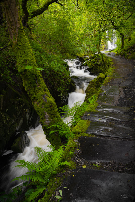
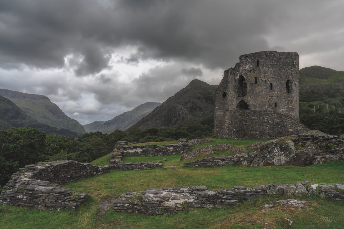
At 0345 my alarm sounded. I did not even have to open my eyes in order to judge the weather conditions, the wind was hurling raindrops with remarkable ferocity against my west facing window in the Fron Deg Guesthouse. A beautiful sunrise seemed monumentally unlikely. On days like this it can be overwhelmingly tempting to stay under the covers and start the day with a lazy breakfast instead of some foolish adventure. Six or seven minutes later i was on the road, heading towards a location near Barmouth. After a 30 minute drive, the final section of which took me up a rather narrow track, I started hiking through a forest in the darkness, following a trail which should deliver me to a viewpoint. The rain was intermittent, but did not cause much hardship while I was under the cover of the tree canopy. As the ambient light began to reveal more of my surroundings I got my first few glimpses of the Mawddach estuary through some gaps in the trees. As the trees gave way to heathery scrub at the top of the hill the full panorama revealed itself, but the weather conditions were ugly and boring. I took a few shots, without much enthusiasm and then got distracted by some interesting rocks and tried to find abstract patterns to photograph. At least I had got myself out of bed, and had a nice morning walk. I decided to head back for breakfast. I walked back down the hill a bit... then changed my mind and decided to use the time to practice shooting timelapses, something I have been meaning to get into. I set a timelapse going and then resumed my seach for patterns in the rock. A few minutes later I looked up and saw that the sun was starting to fight it's way through the clouds... a magnificent sight. My timelapse was still running, and indeed it had captured the progression of this elemental battle as raged above the estuary, driven on by the westerly wind. Timelapse photography involves shooting a large number of images of a scene and then using those images as frames in a video. The resulting footage has some noticeable differences to normal video content, the most striking of which is that it can be used to show changes over a significant length of time in a relatively short clip. The timelapse above is made from 900 images, captured once every 2 seconds over a period of 30 minutes, the resulting footage has a duration of 30 seconds. I have done some experiments with this kind of work over the past few trips and start to be more proficient with both the capturing and processing of timelapse footage. I think that there will be the occasional timelapse to be seen in my future posts. There is nothing much better than the feeling you get when sitting down to a good breakfast with the thought that the day has already been worthwhile. The morning routine following a sunrise excursion has a familiar pattern - cereal, sausage, bacon and eggs, toast, orange juice and coffee... probably more coffee... copy the morning's pictures to my laptop, charge batteries, shower, get dressed and head out exploring. My next destination was a bit of a drive away, I followed the road along the coast, around the Mawddach estuary and into the countryside to Dolgoch Falls. This beautiful forest waterfall has an excellent cafe (the Dolgoch Tea Rooms) nearby and some possibilities for a bit longer walks nearby. I sometimes get asked about how my images are processed, and that seems to be one of the major topics of debate in the photography community as well as in the looking at photography community. A few weeks ago I wrote down my own thoughts about such discussions in a short article that you can read here. As a follow up to that article, for those who prefer to see some concrete examples, I made another post showing a before and after comparison for two finalised images (including the one above). For the final couple of days of this most enjoyable trip I moved my base of operations to the town of Llandudno, where one of the attractions is a grand old pier. Most of the places that I found interesting in this area were beside the sea. There are many beaches and coastal areas, each with different characters and features. The long, west-facing, rocky beach at Dinas Dinlle was a great place to watch the sunset and it also has a decent fish and chip shop right next to the car park... what more could anyone possibly want? Another feature of this area is remarkable castles, two particularly fine examples are preserved at Conwy and Caernarfon, both of which date from the 13th century. By this stage of my journey the constant late night-busy day-early morning routine was starting to have a cumulative effect. In autumn and spring it is quite possible to go on almost indefinitely shooting both sunrise and sunset every day, but in summer the period between those is just too short to get enough sleep. It was something of a relief to have the possibility to get to my sunrise destination the next morning with a 400m walk from my accomodation instead of a long journey. On my final full day in Wales I decided to explore along the north coast, stopping first at Llandulas beach where there are some interesting coastal defences. Thousands of huge concrete blocks, shaped something like jacks (from the classic game, it's just a matter of time before modern youngsters leave their devices behind and return their efforts to games like this), are piled up along a 7 mile stretch of coast. The most obvious, and already much photographed, landmark to add to any picture of these sea defences is Raynes Jetty, a structure extending out to deep waters in order to allow cargo ships to be loaded with the products of the nearby Raynes Quarry. At the most northern extreme of the Welsh mainland you can find the golden sands of Talacre beach and their crowning glory, the Point of Ayr lighthouse which sits out in the surf, about 50m offshore, at high tide but can be approached on foot across the sand at low tide. My first visit to North Wales was a most enjoyable one, and I am sure that i just scratched the surface of what it had to offer. I hope that I can return one day, maybe in some better conditions so that I can explore more widely in the mountains of Snowdonia. Thanks for your attention and support! Until next time, Andy
4 Comments
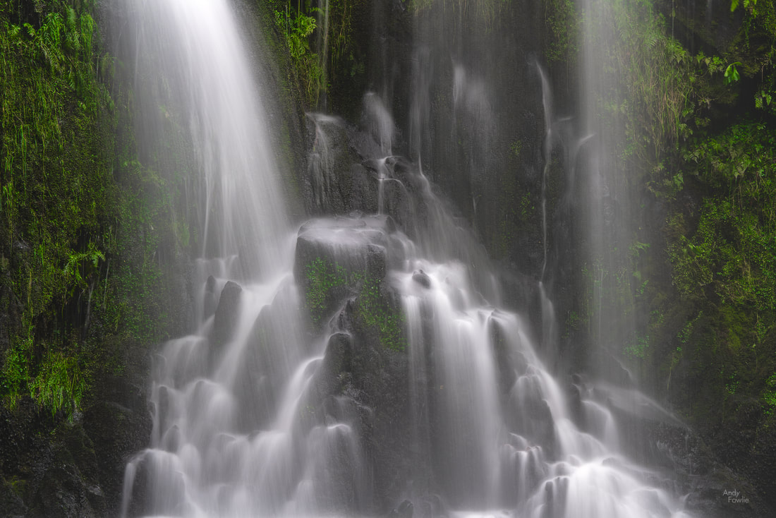
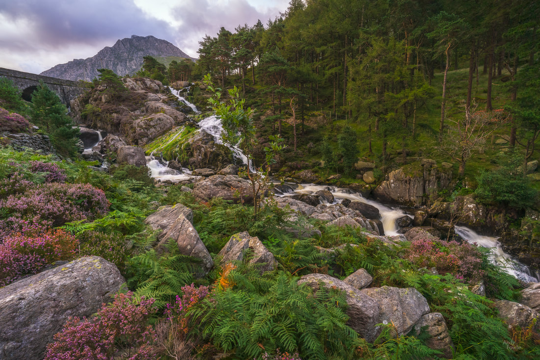
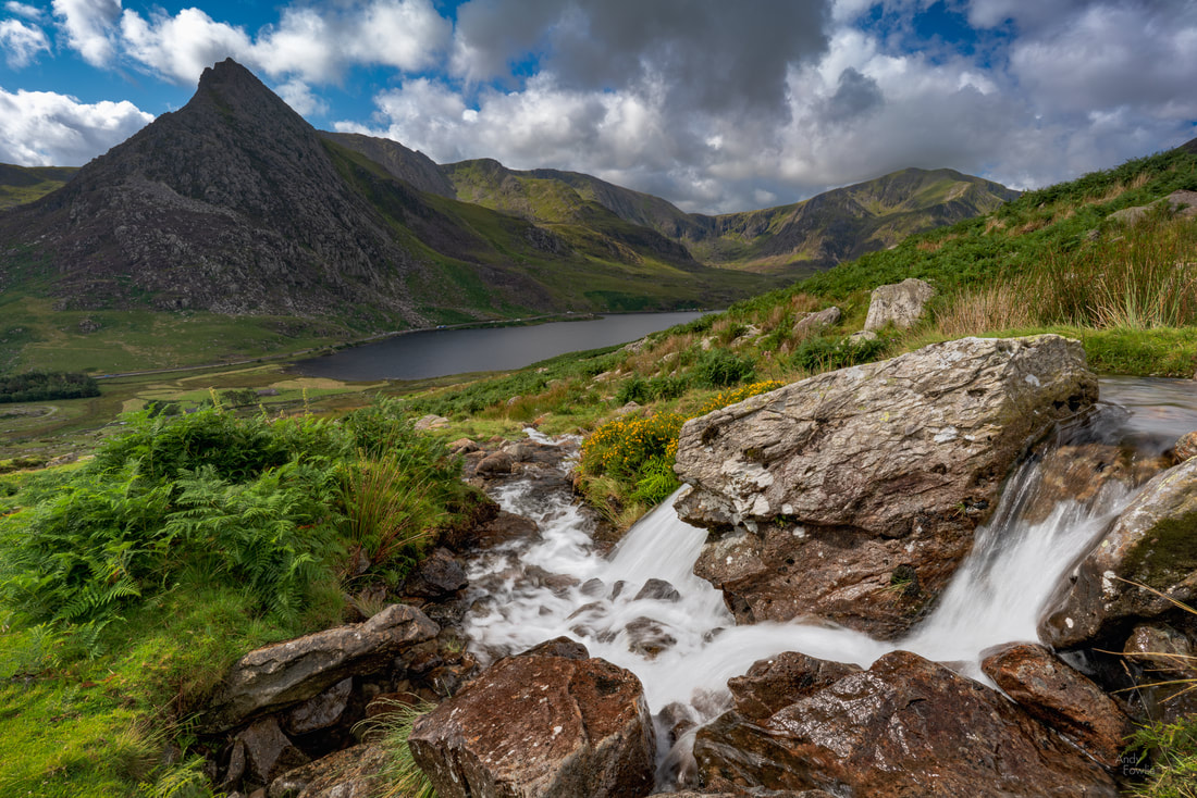
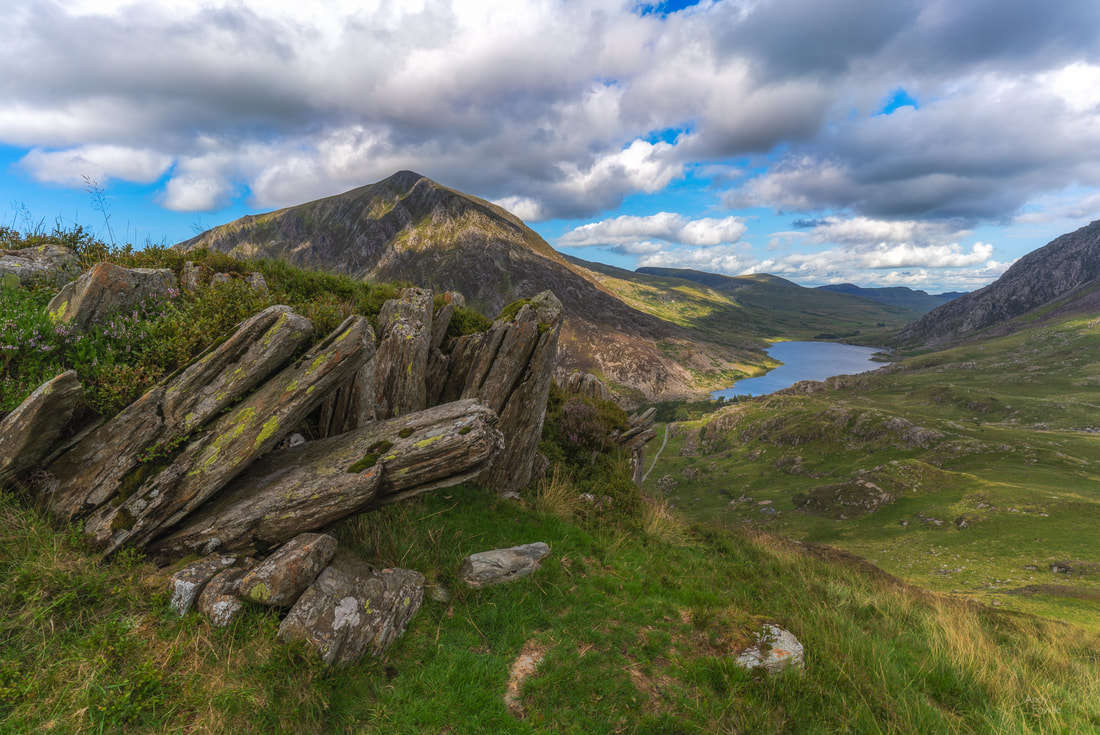
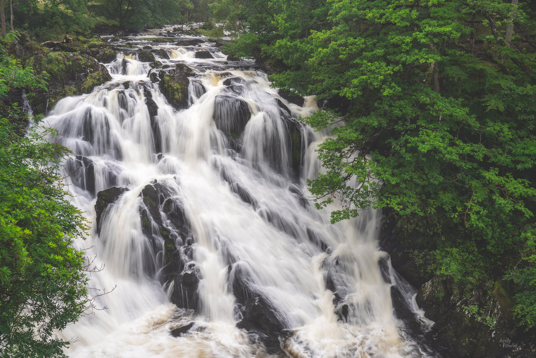
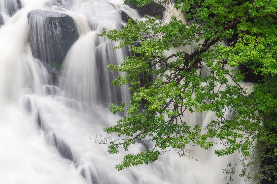
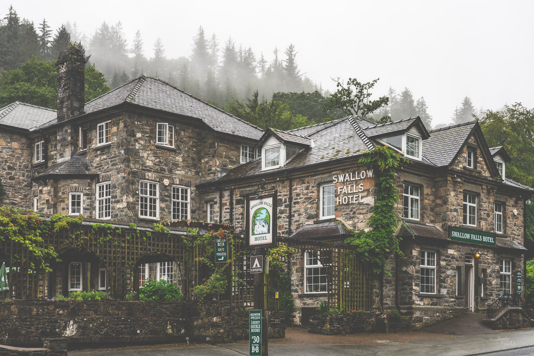
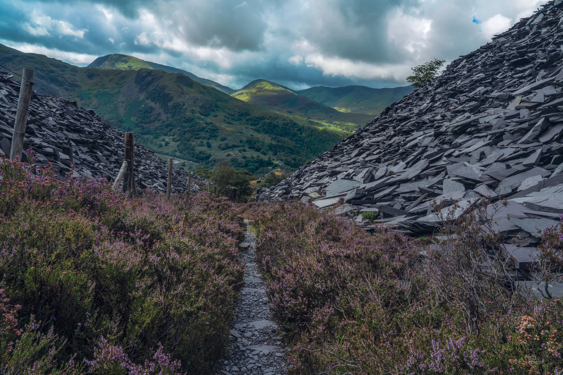
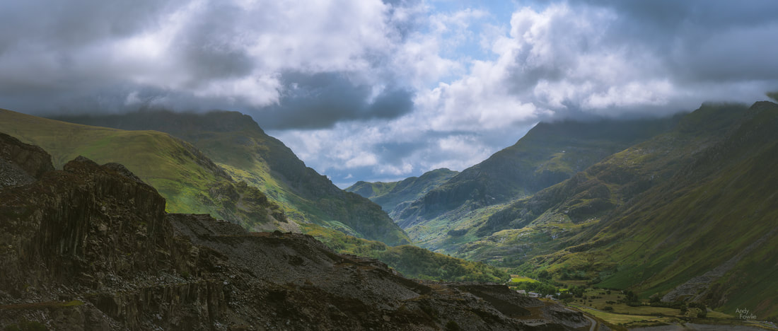
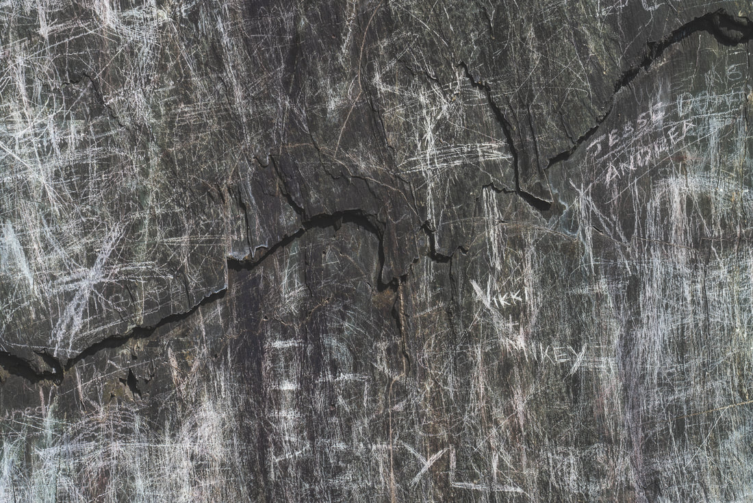
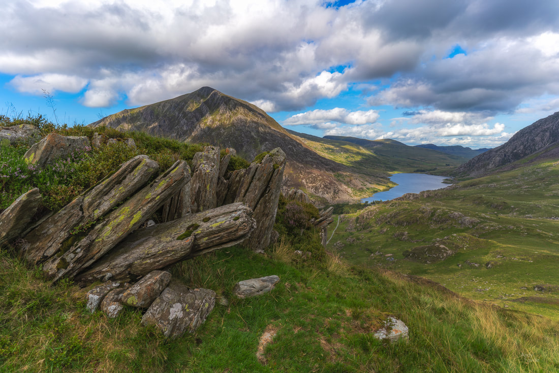
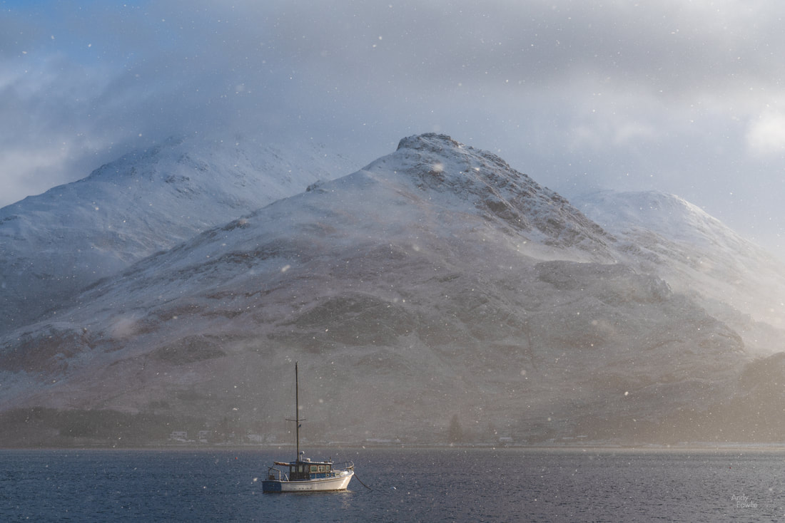
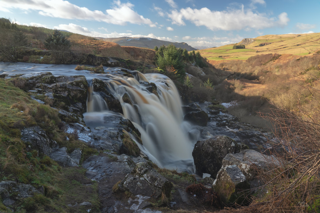
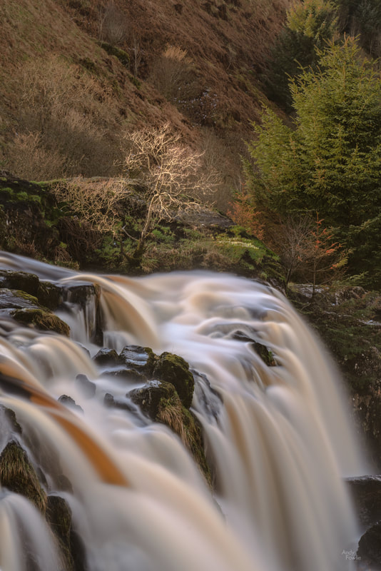
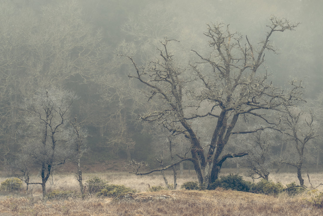
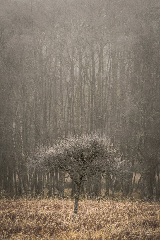
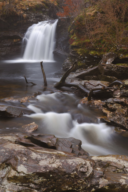
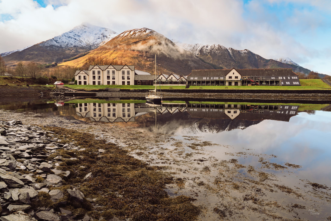
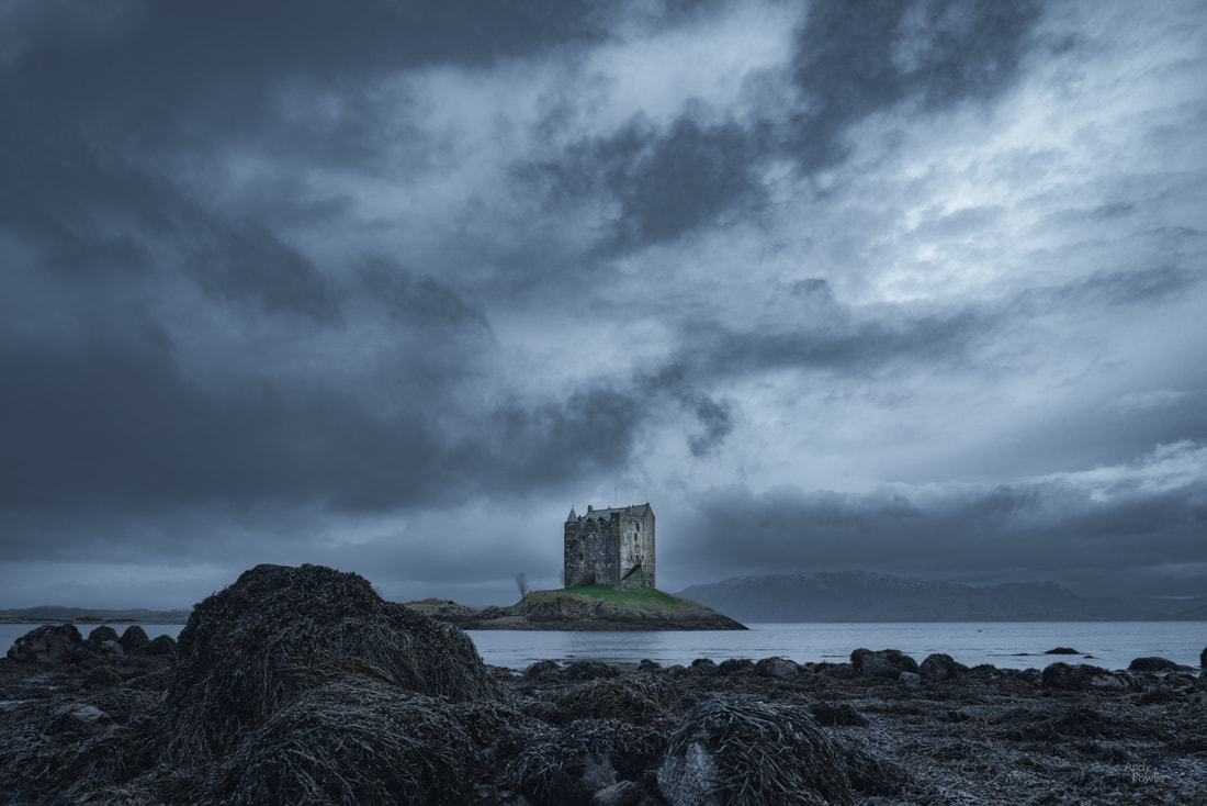
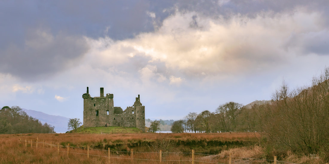
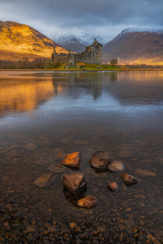
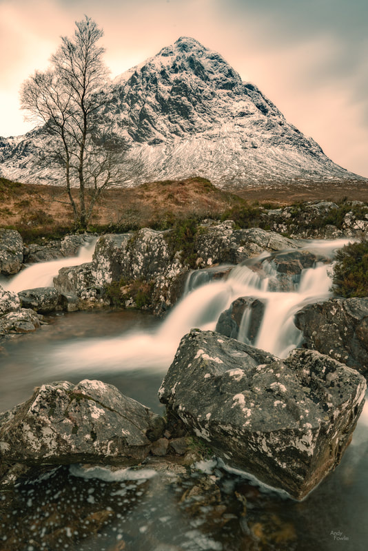
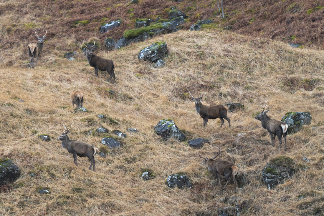
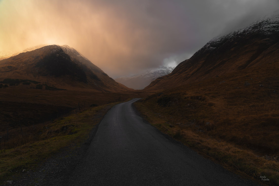
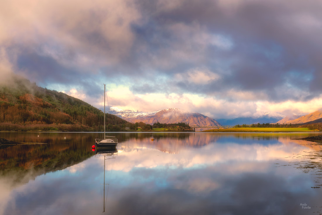
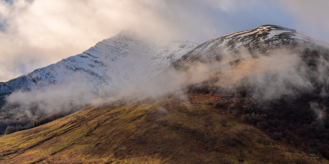
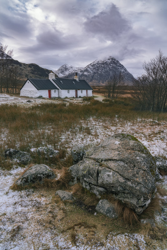
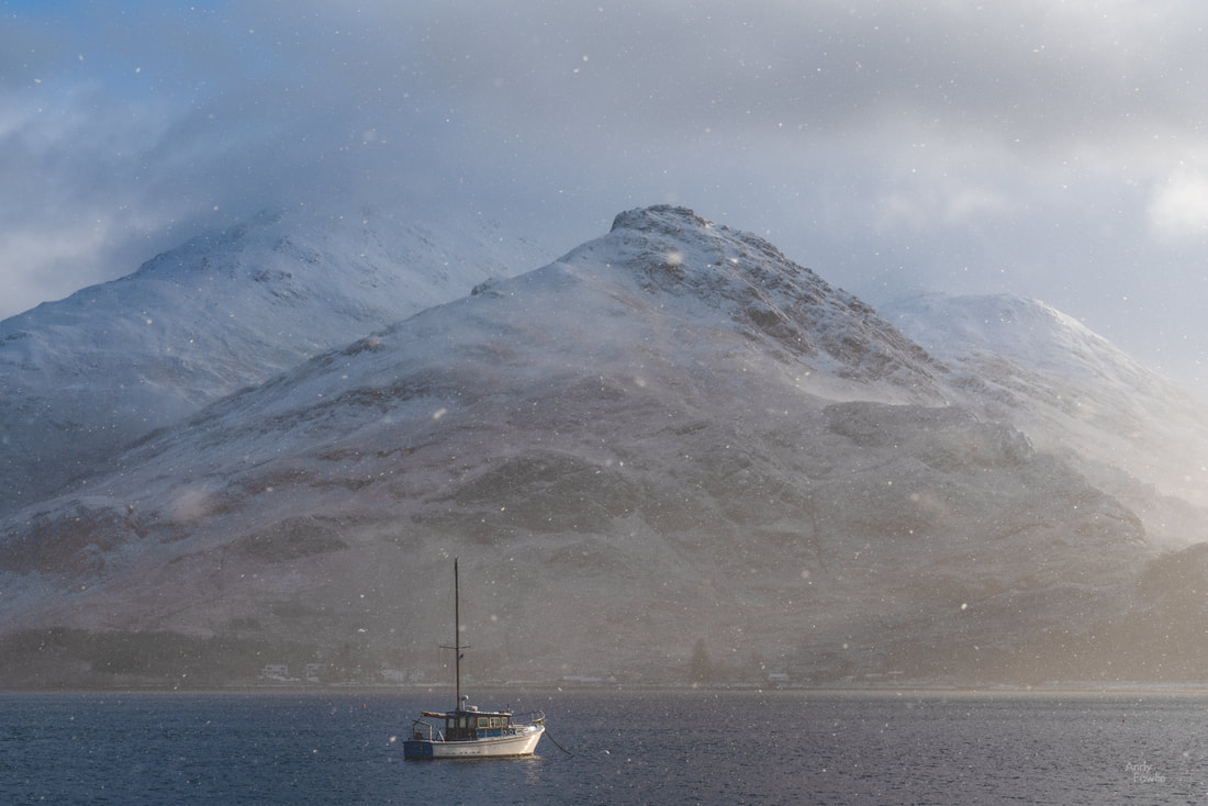
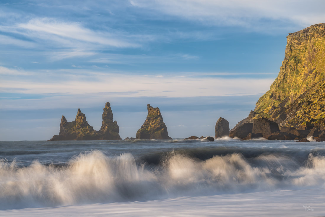
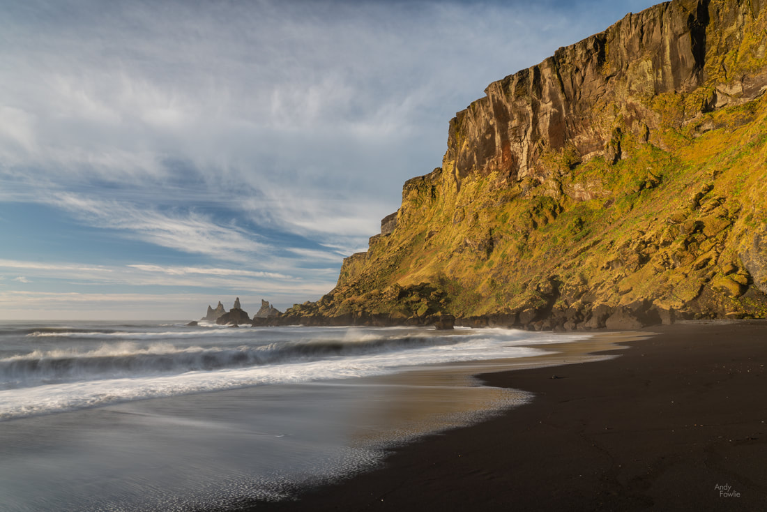
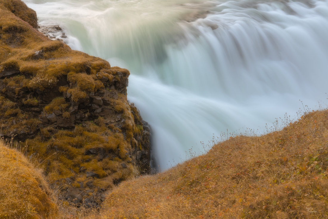
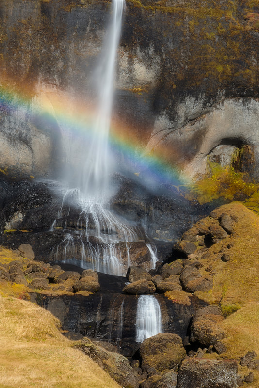
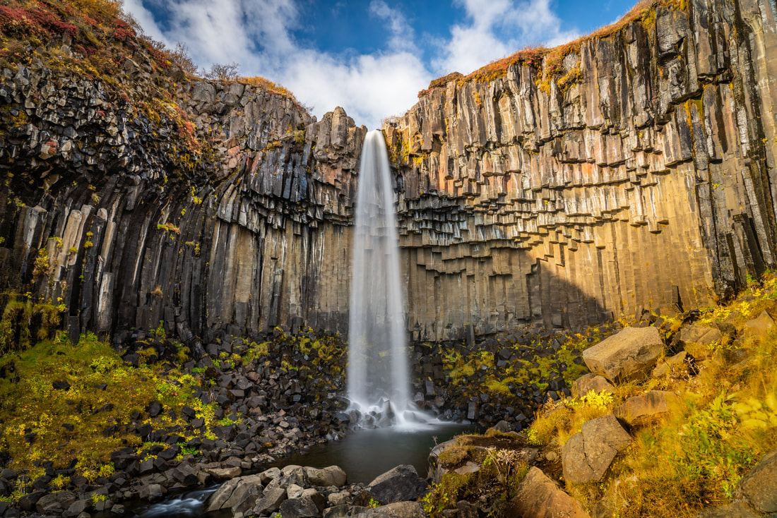
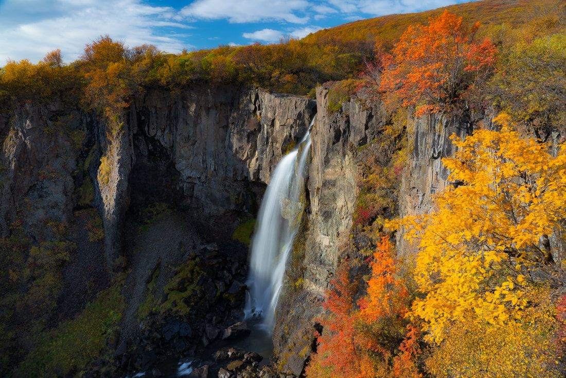
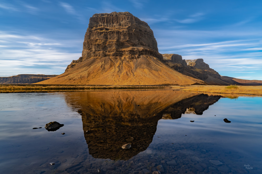
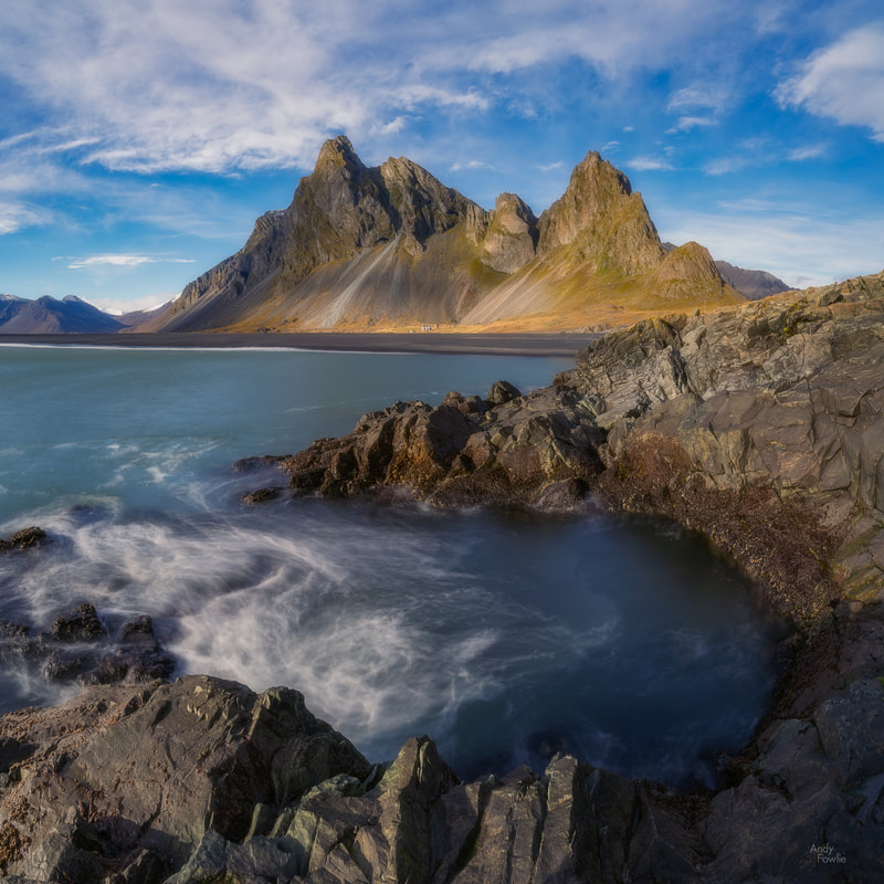
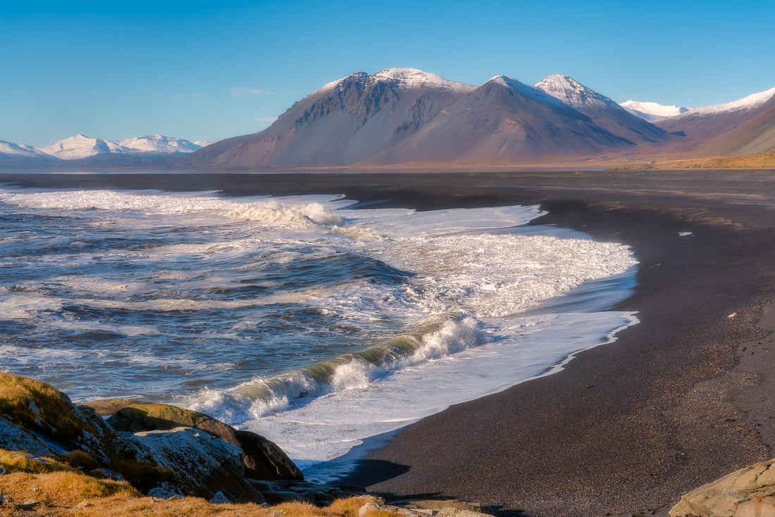
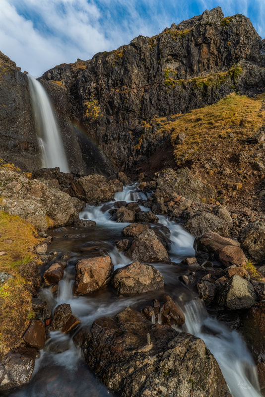
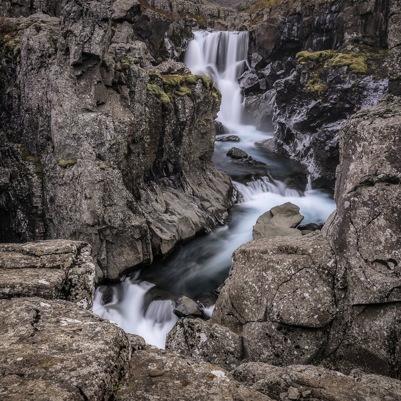
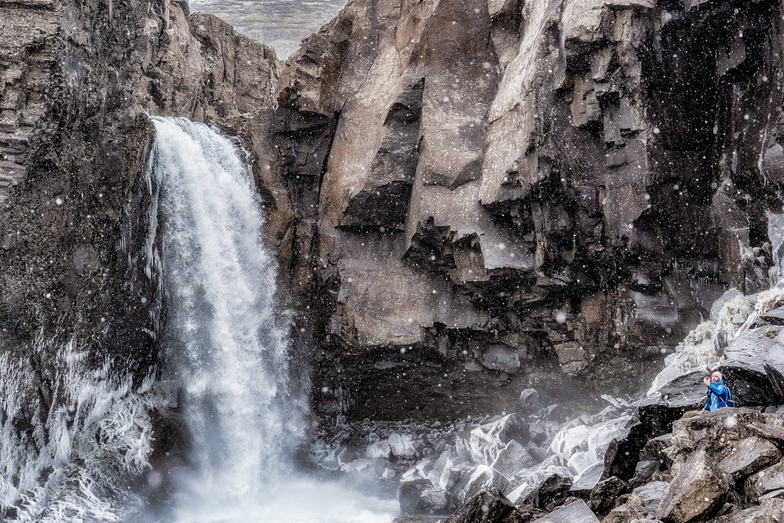
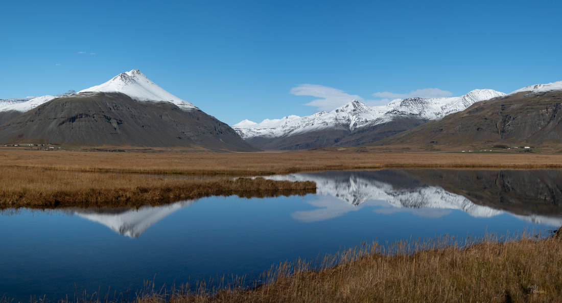
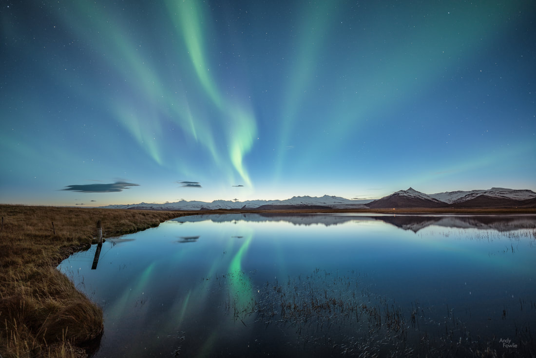
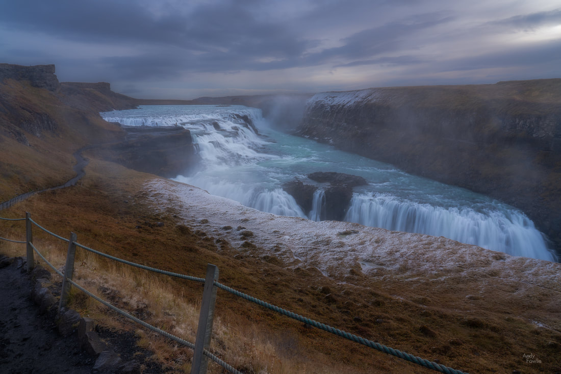
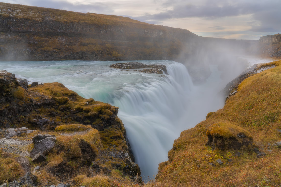
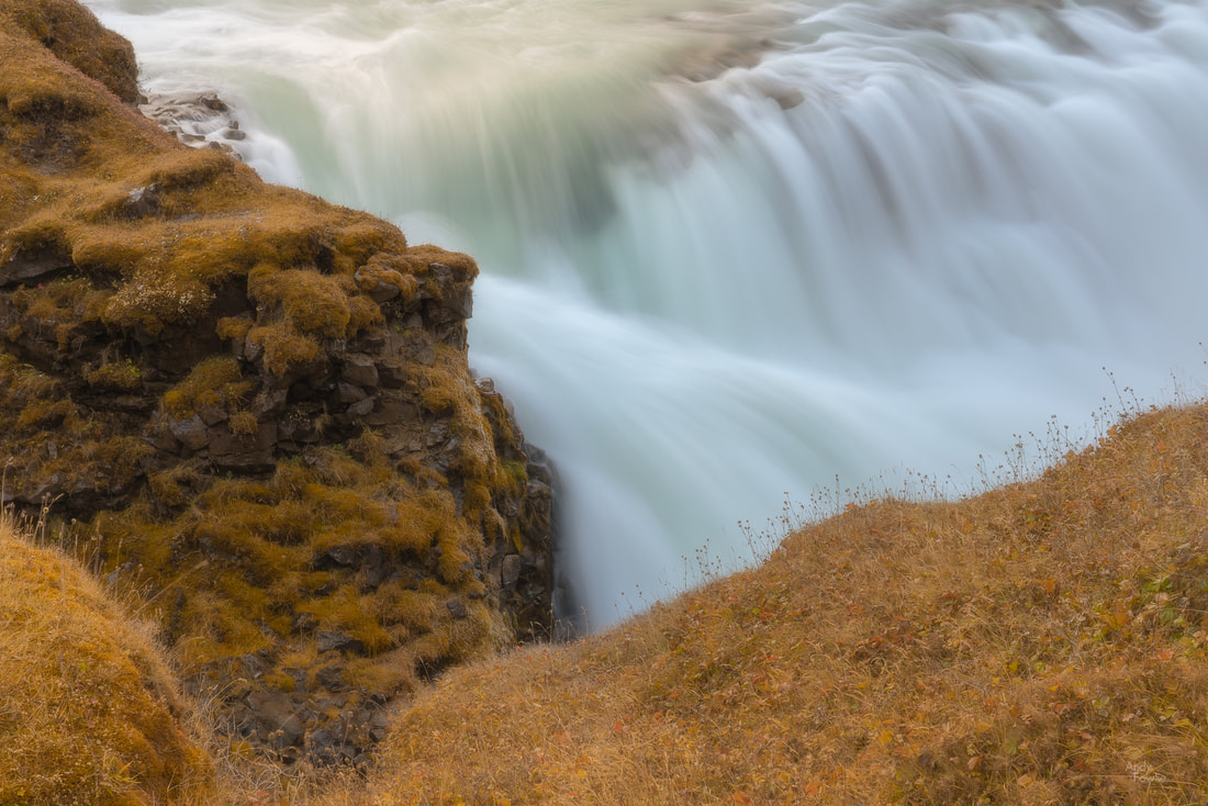
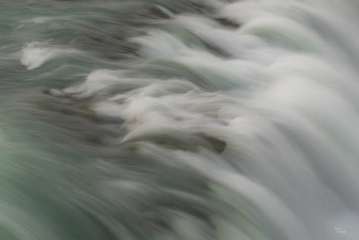
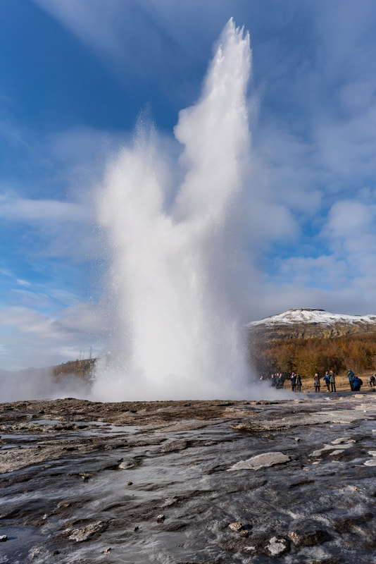
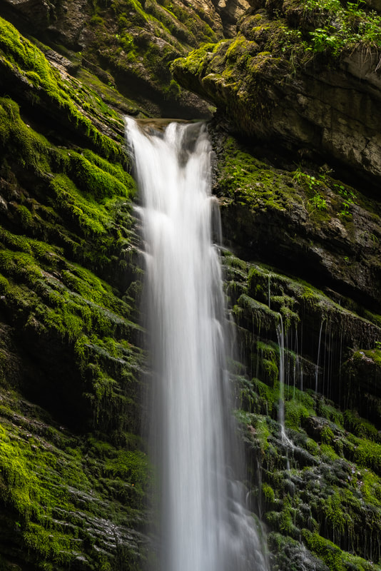
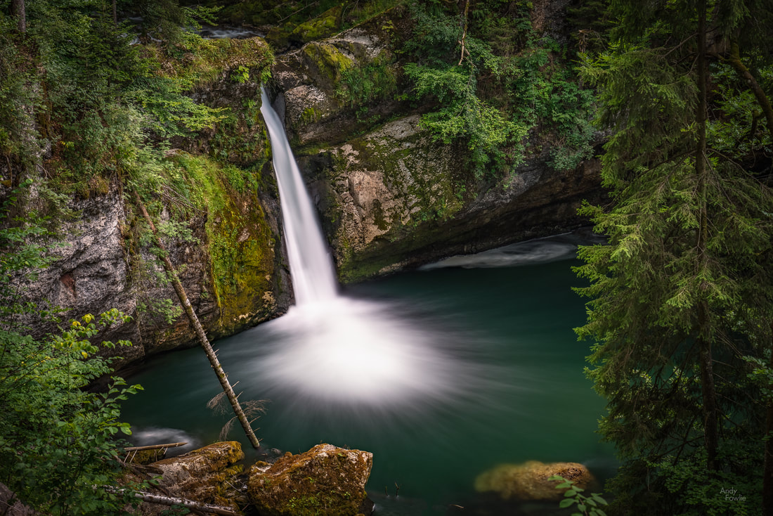
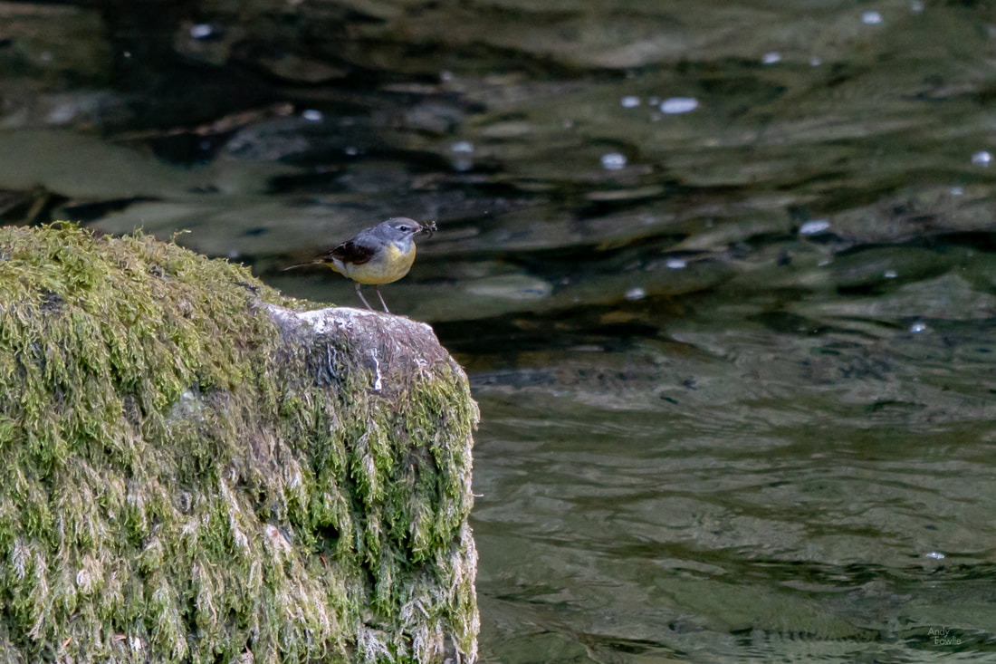
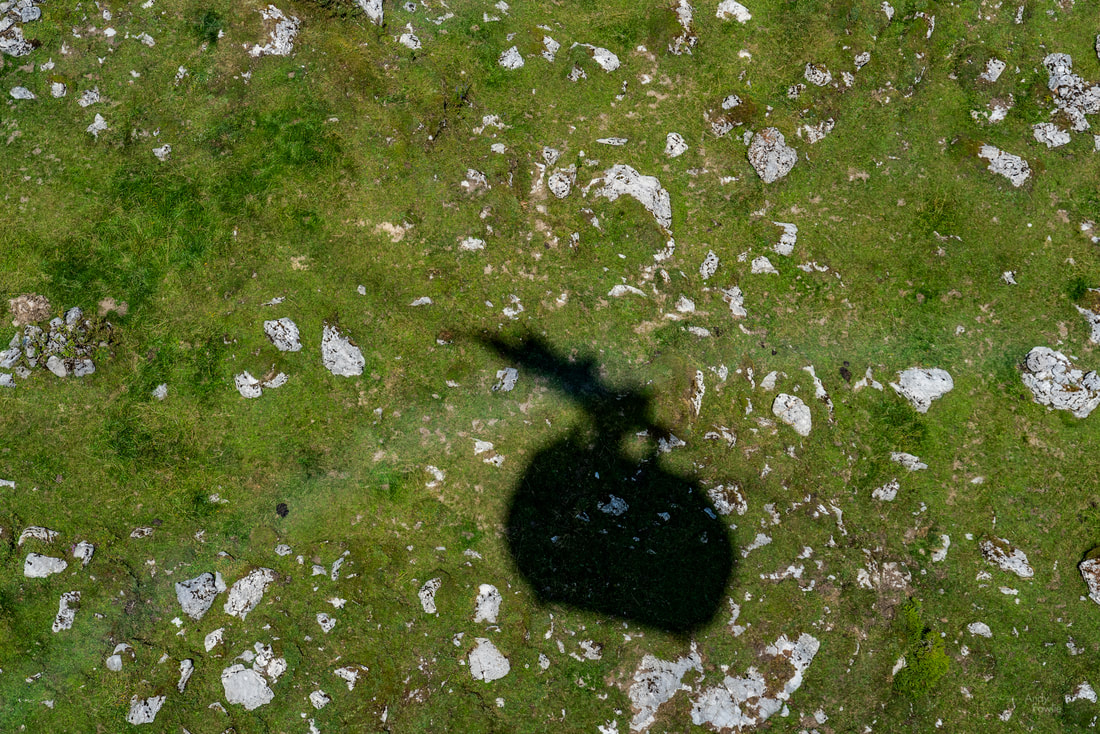
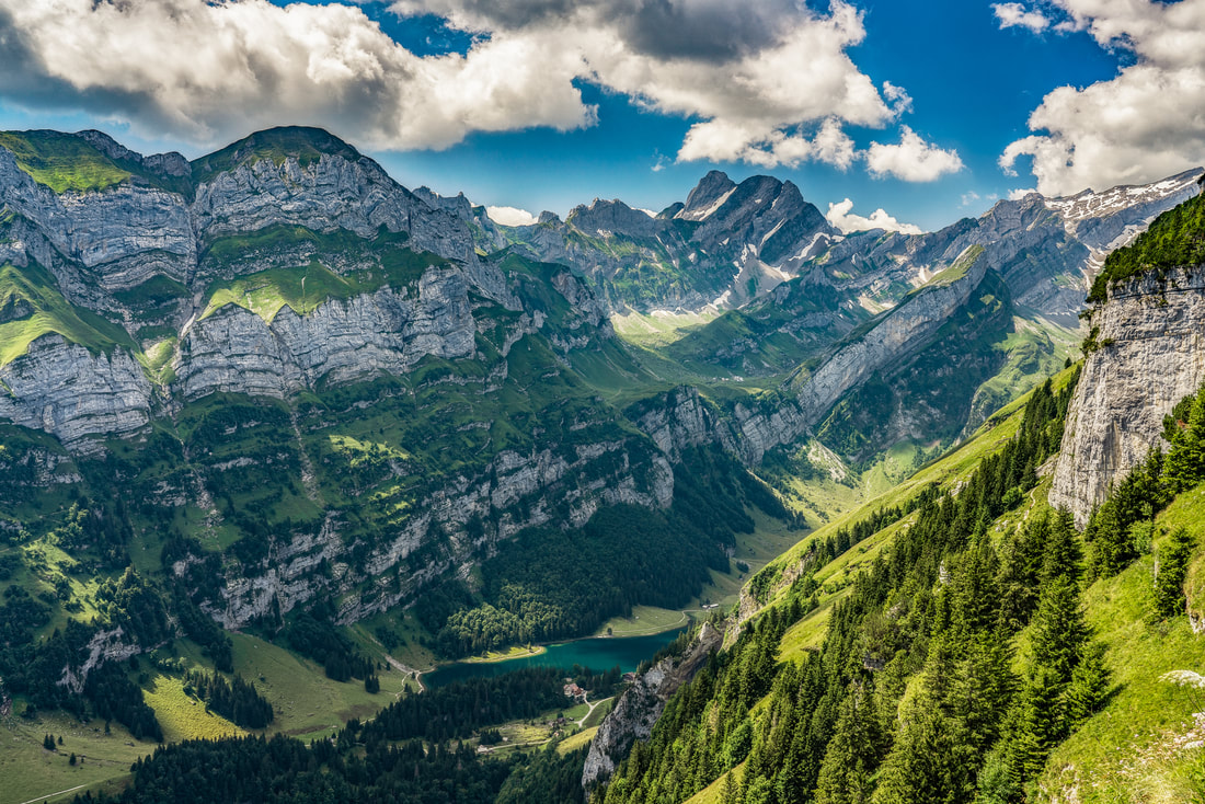
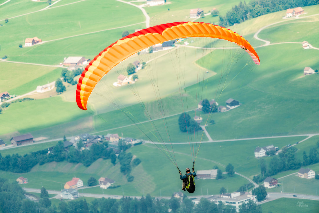
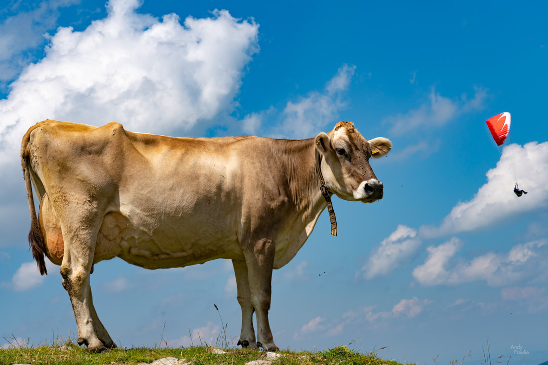
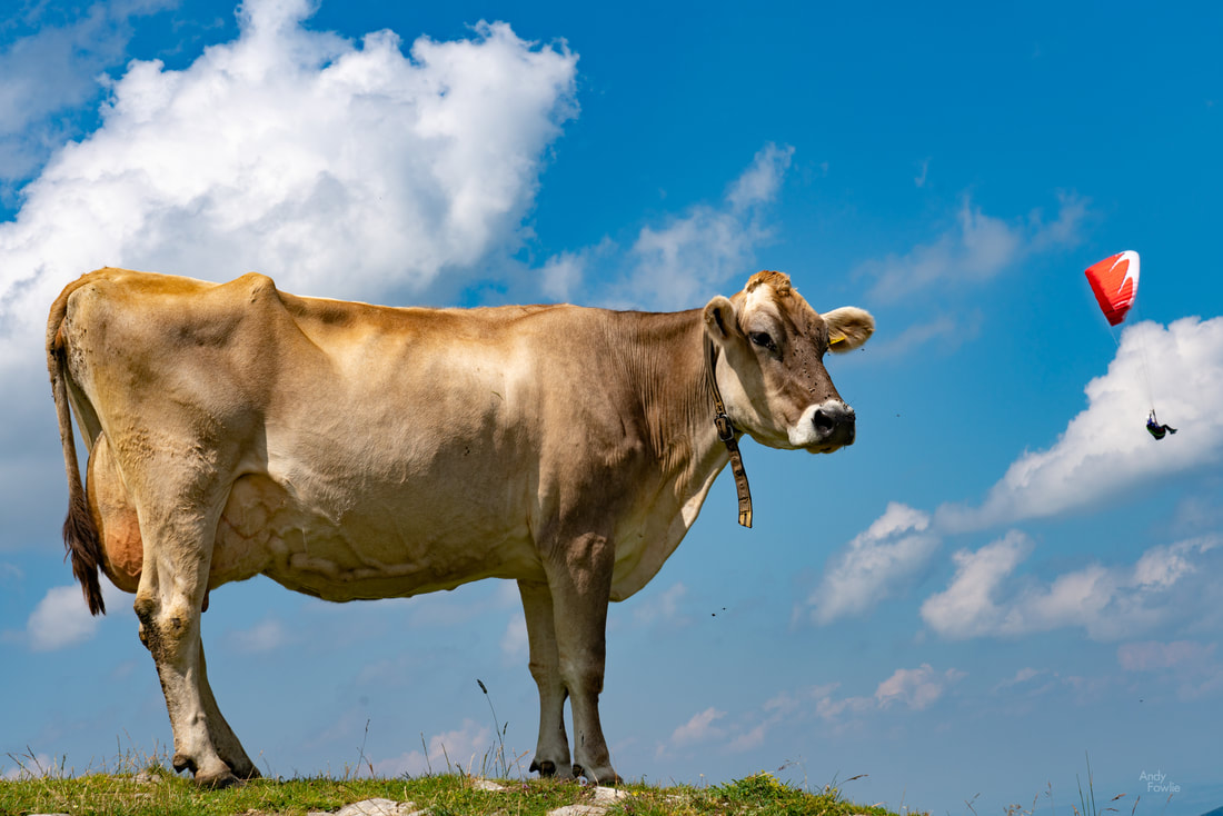
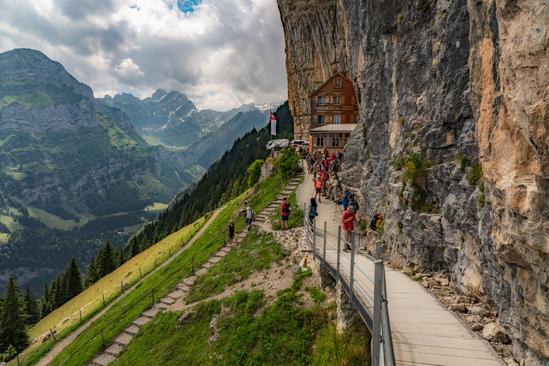
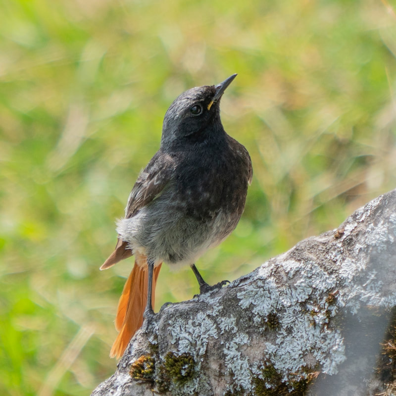
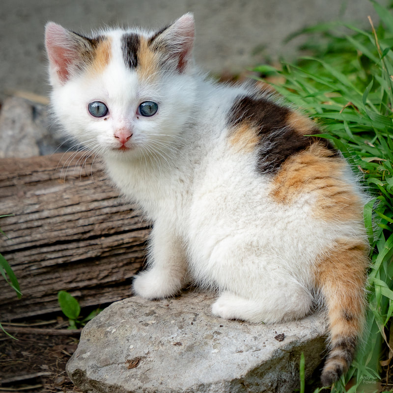
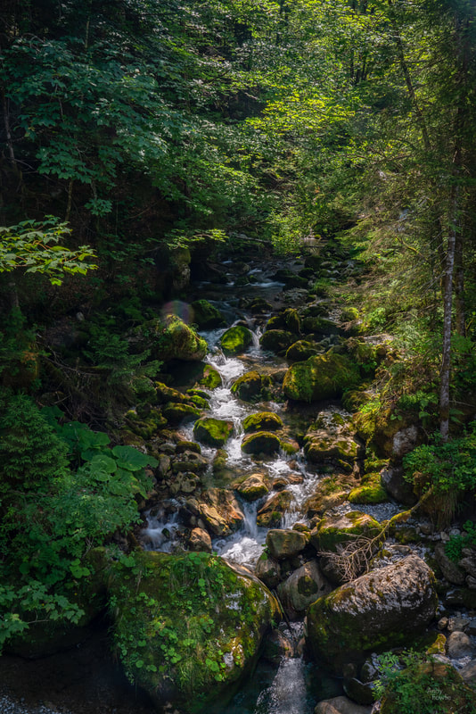
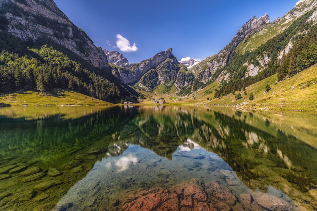
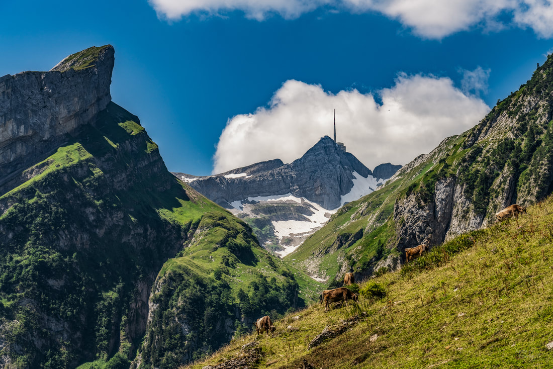
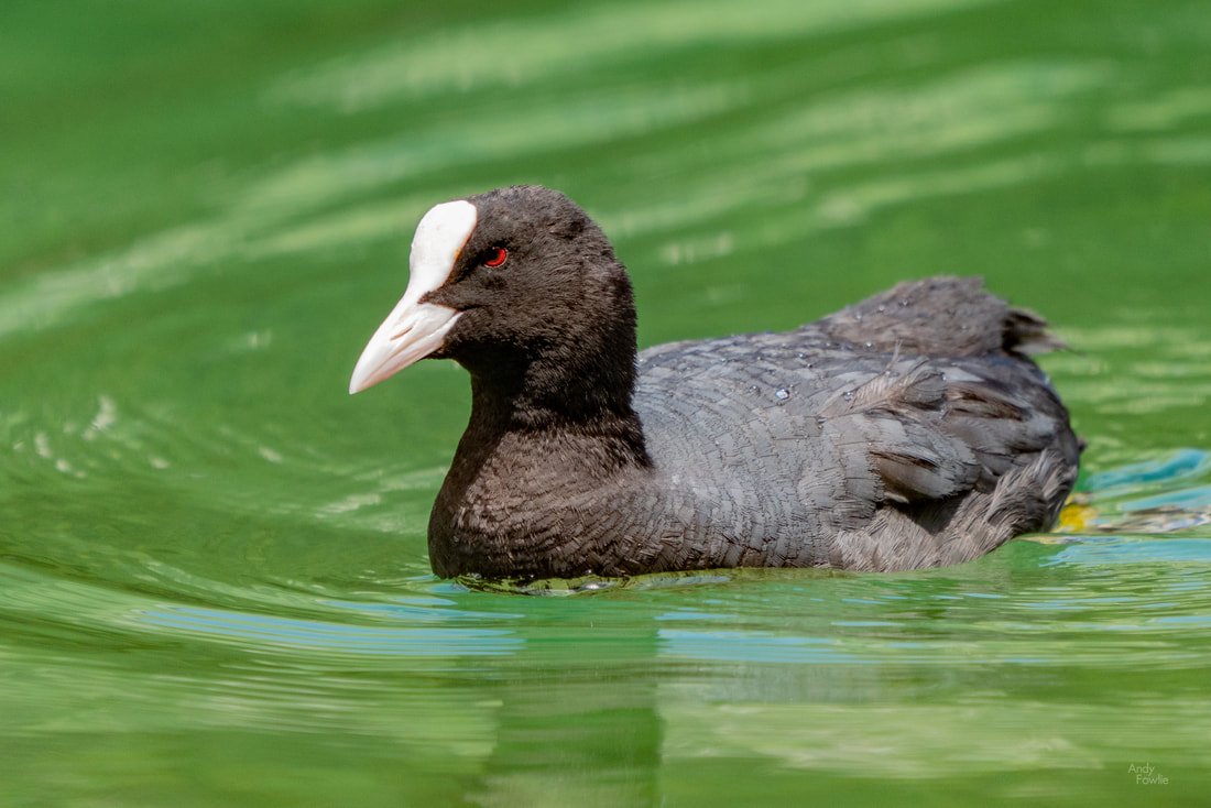
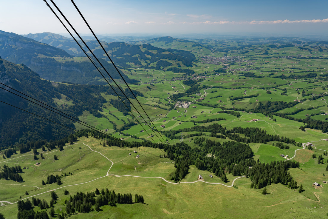
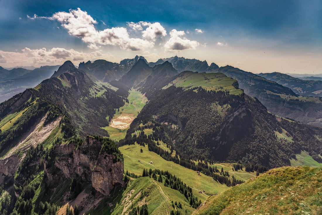
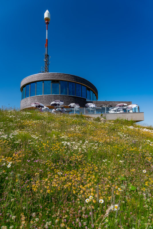
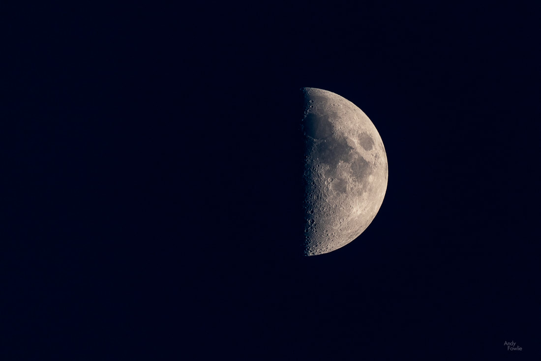
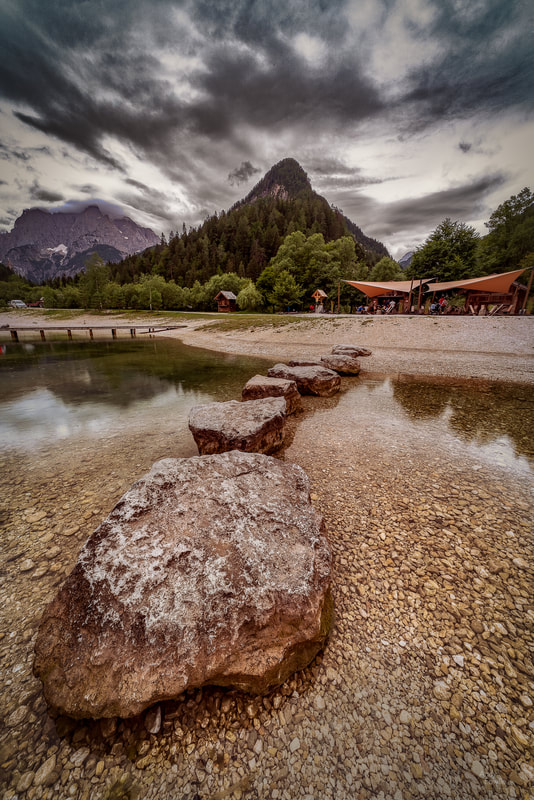
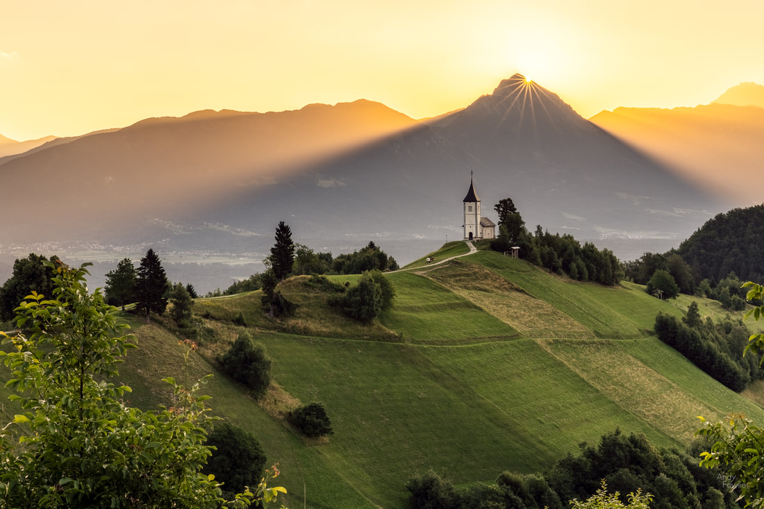
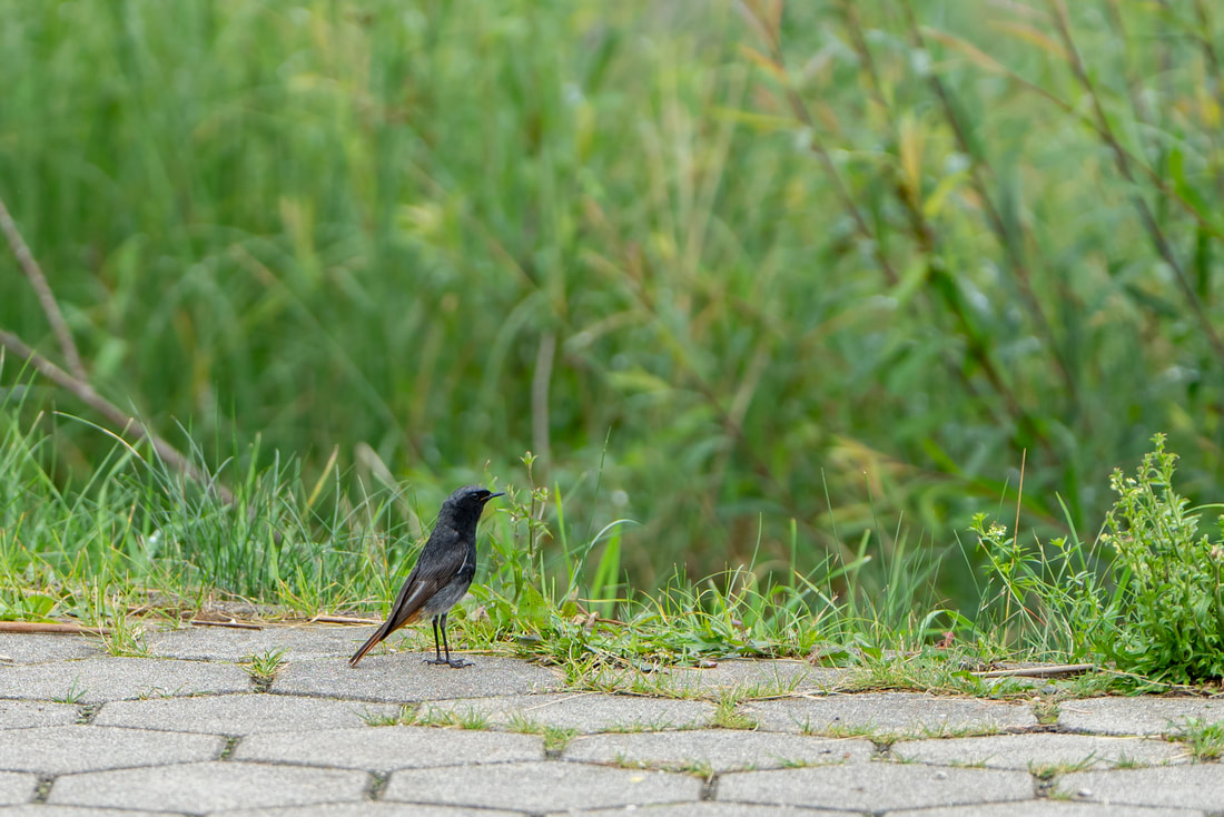
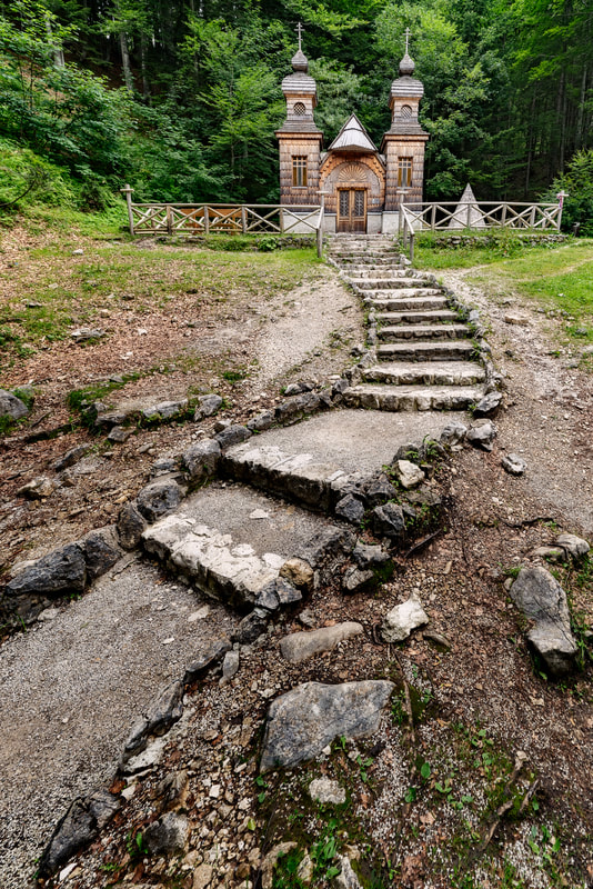
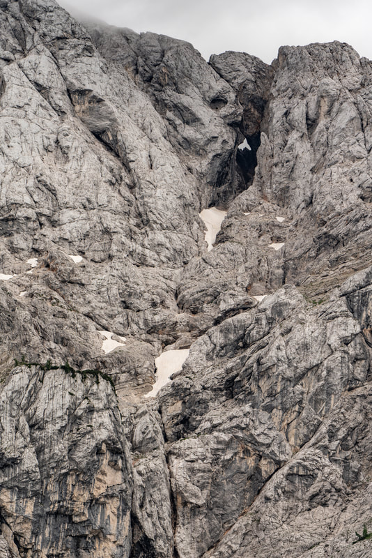
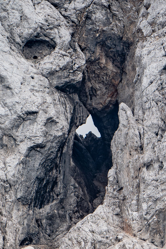
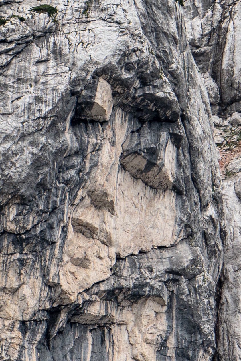
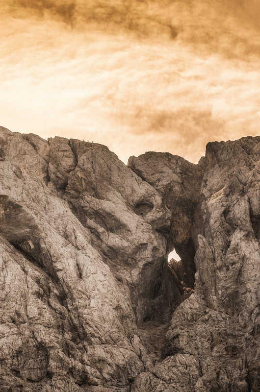
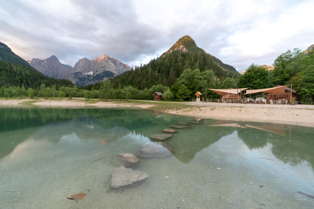
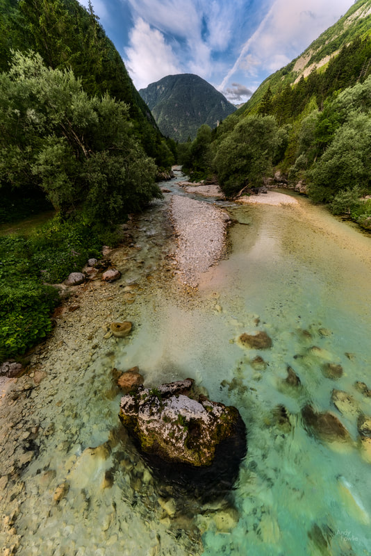
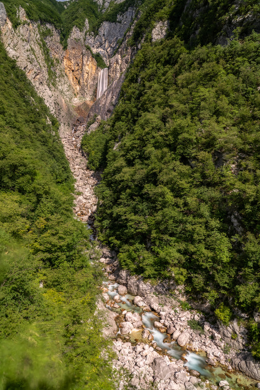
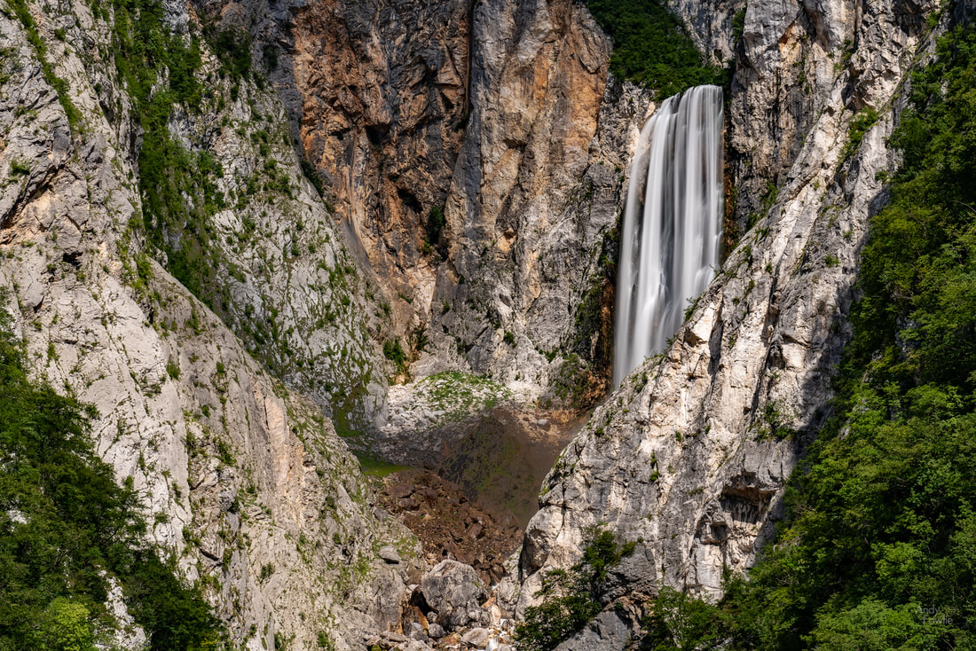
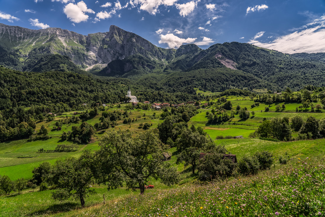
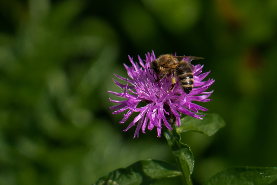
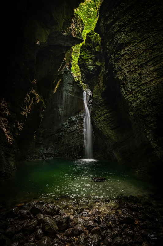
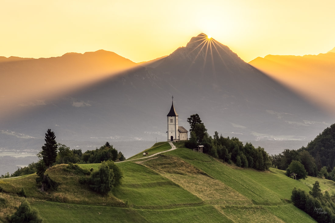
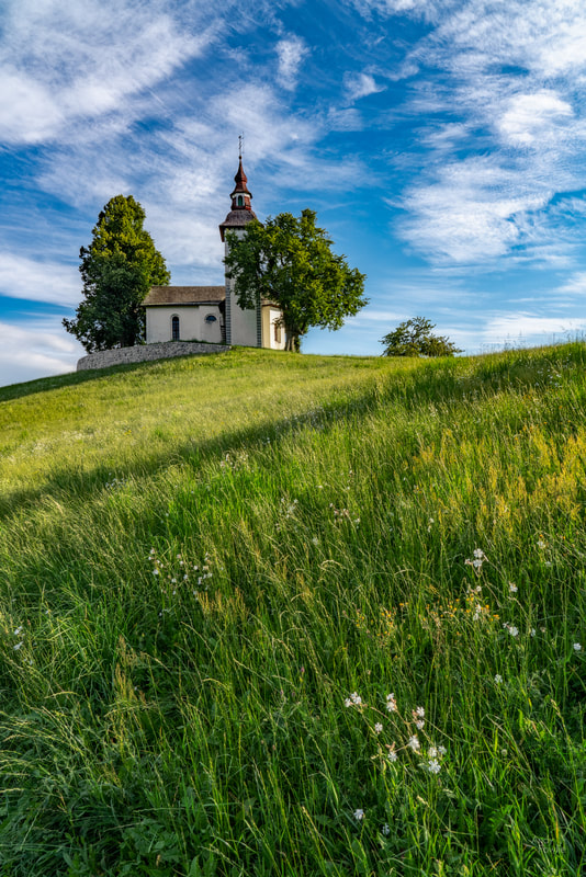
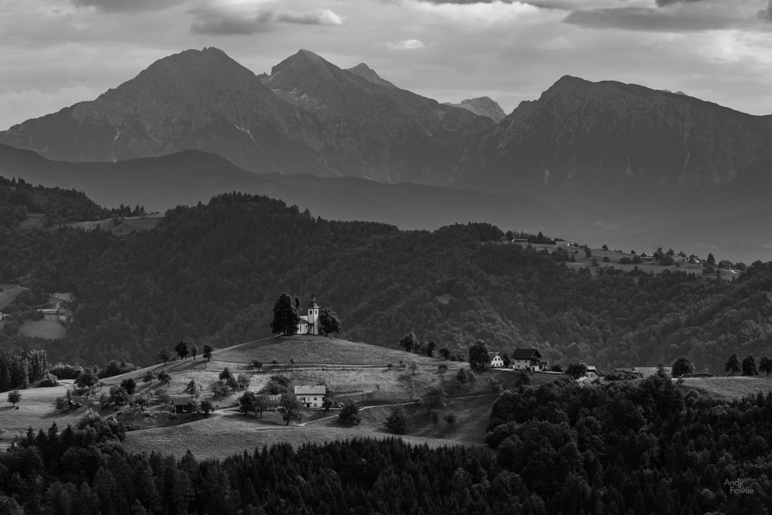
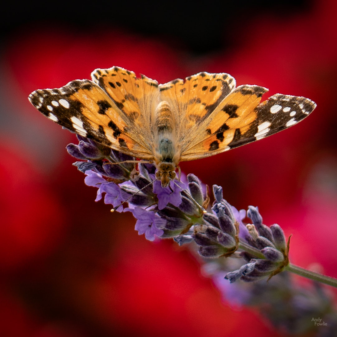
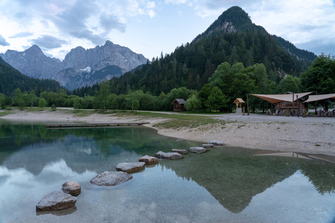
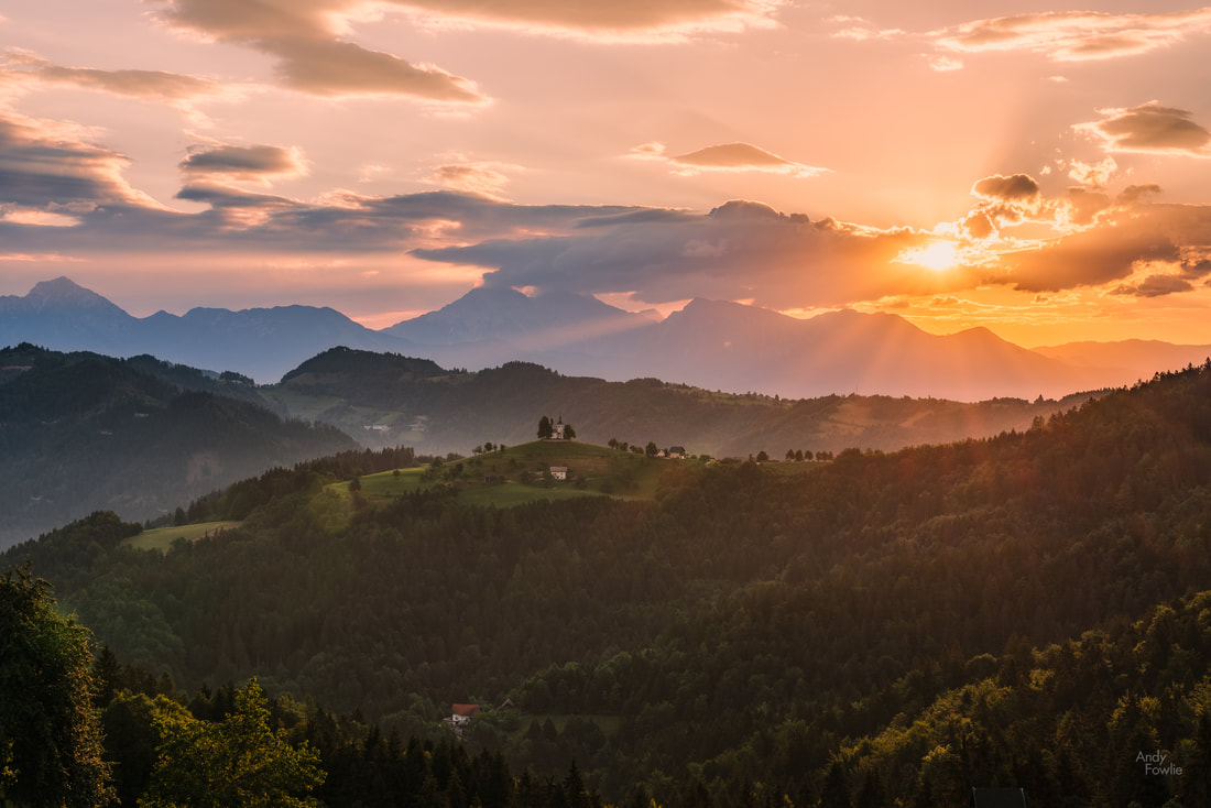
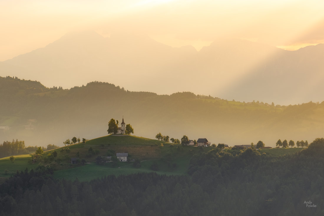
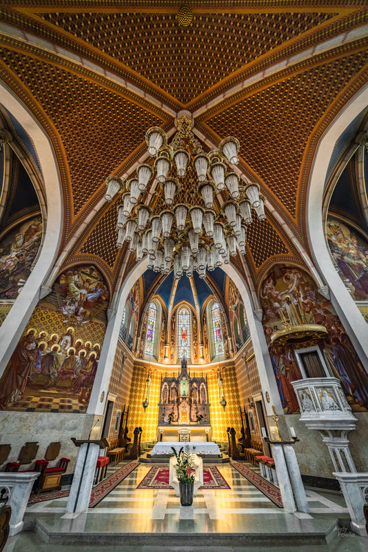
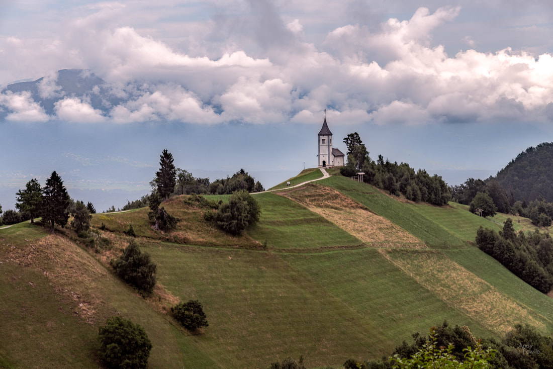
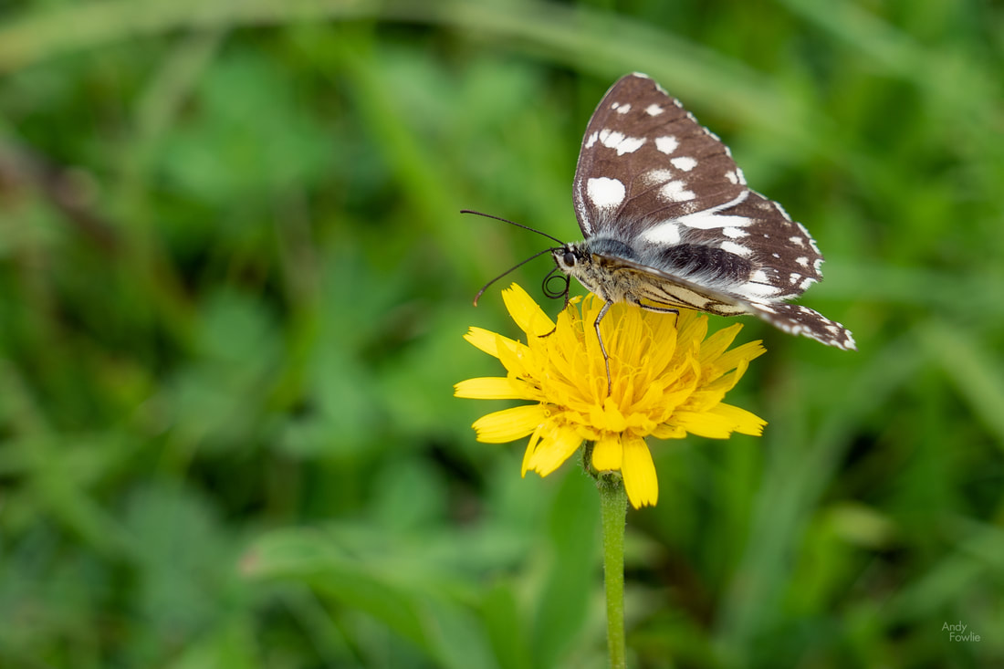
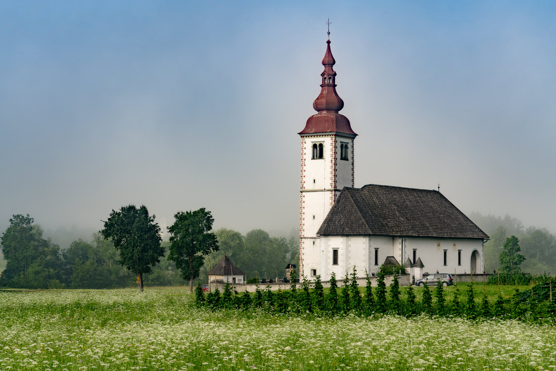
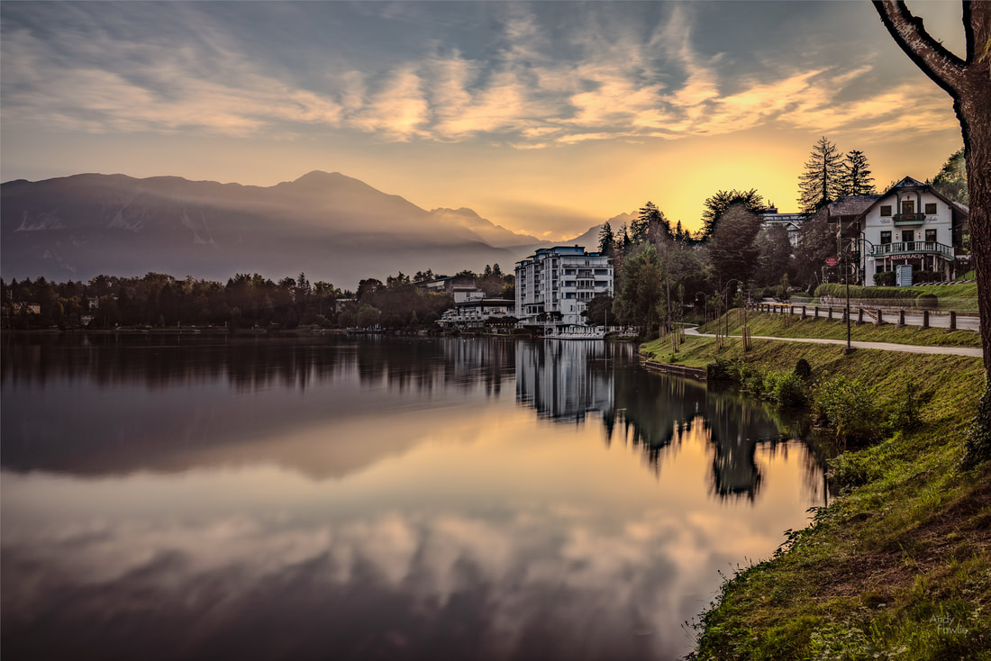
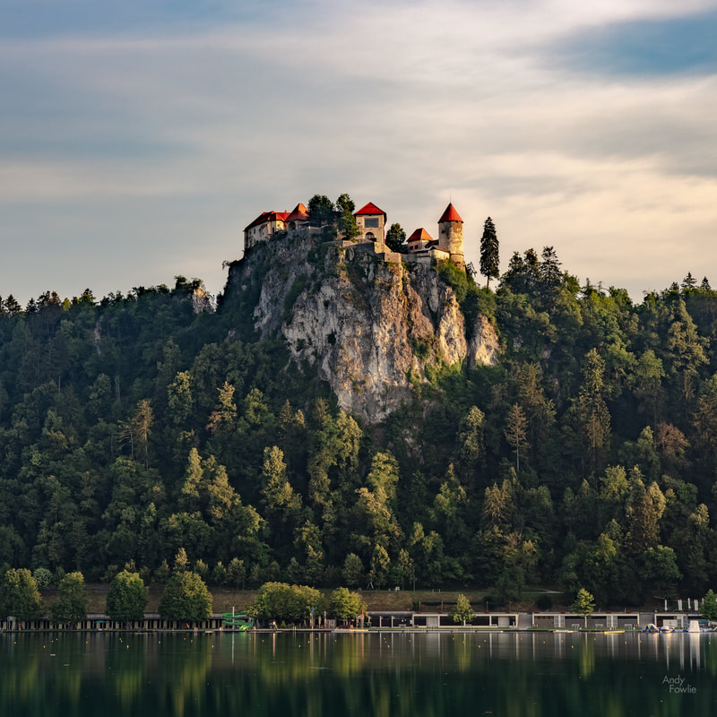
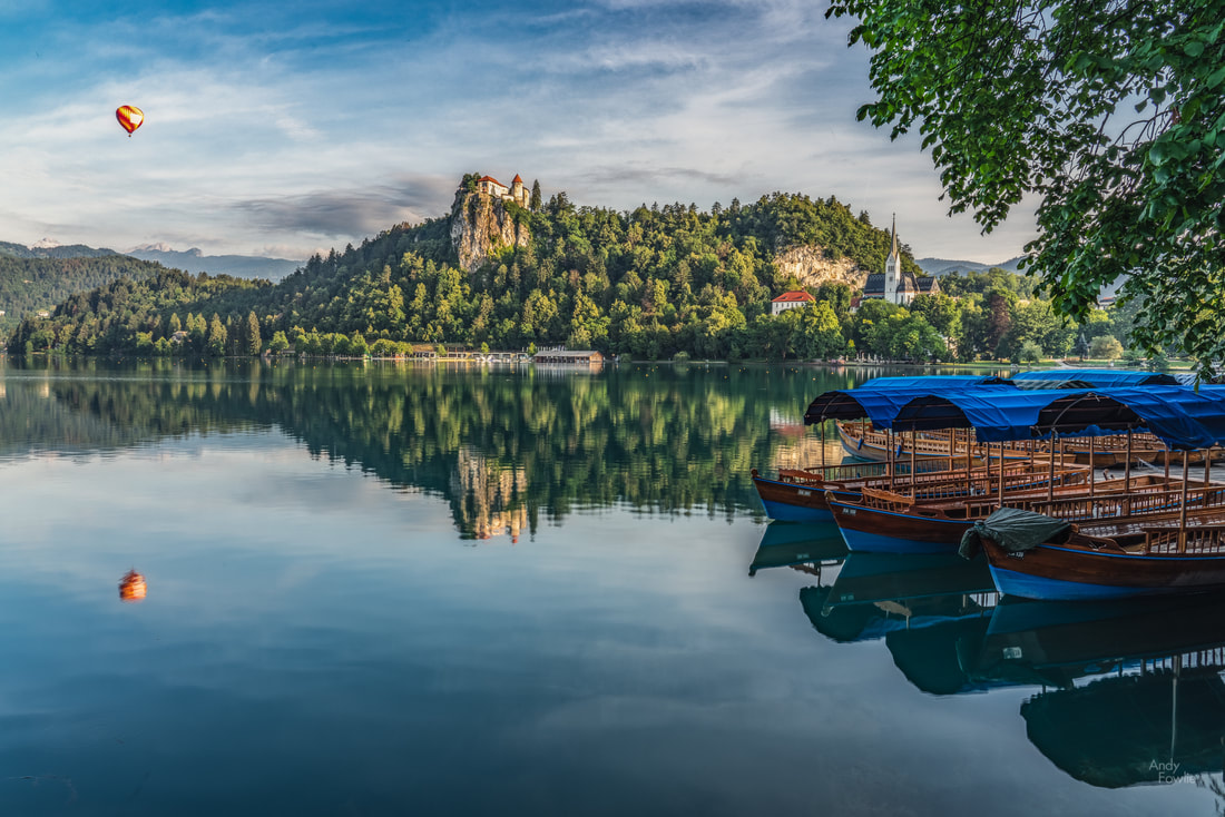
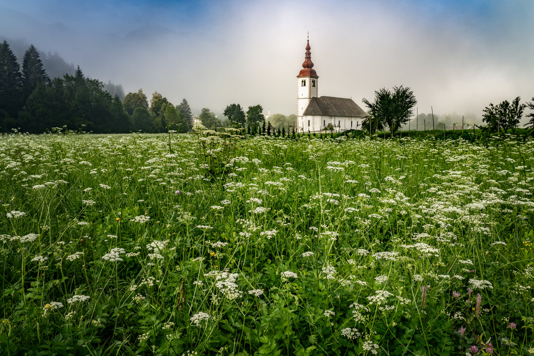
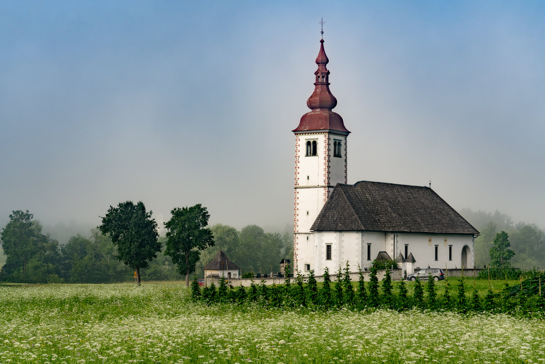
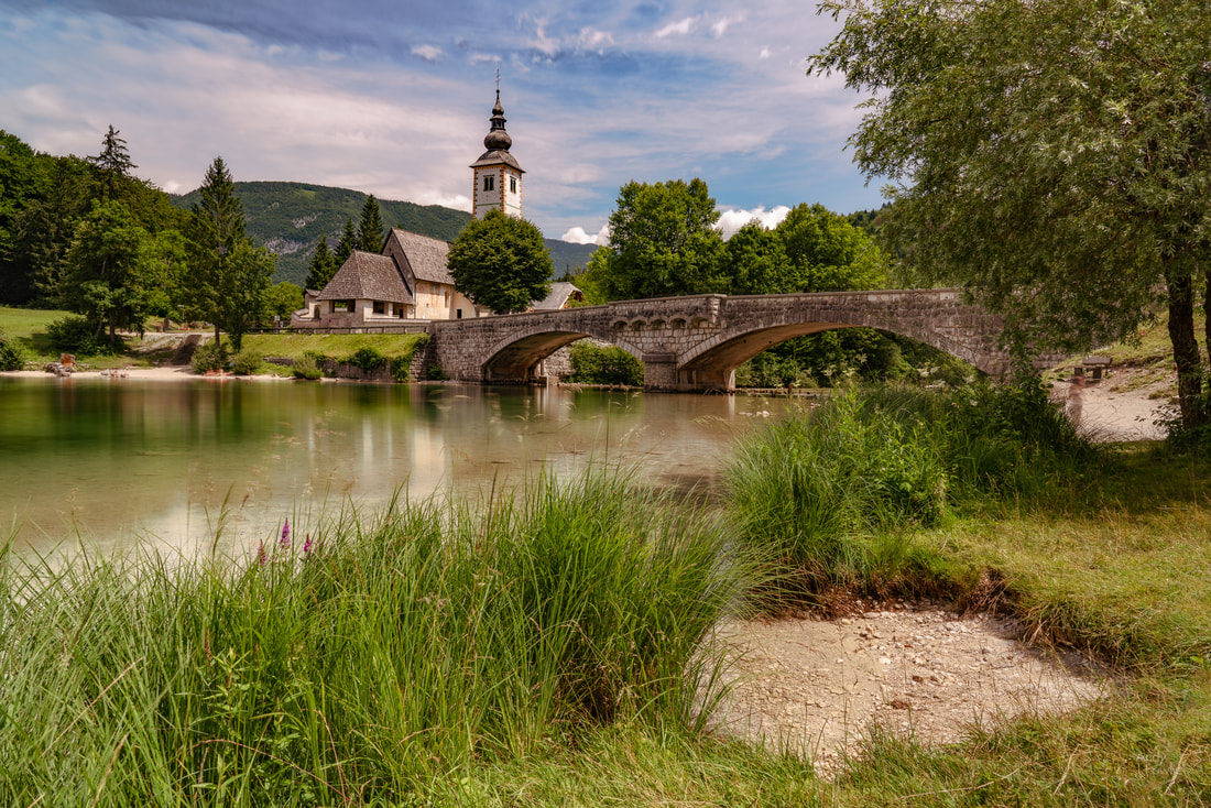
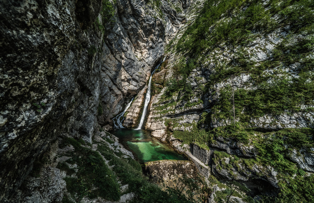
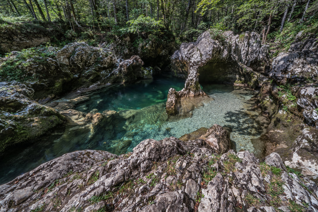
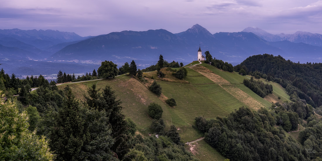
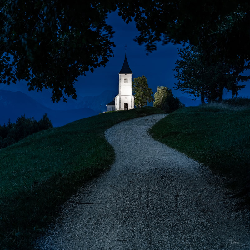
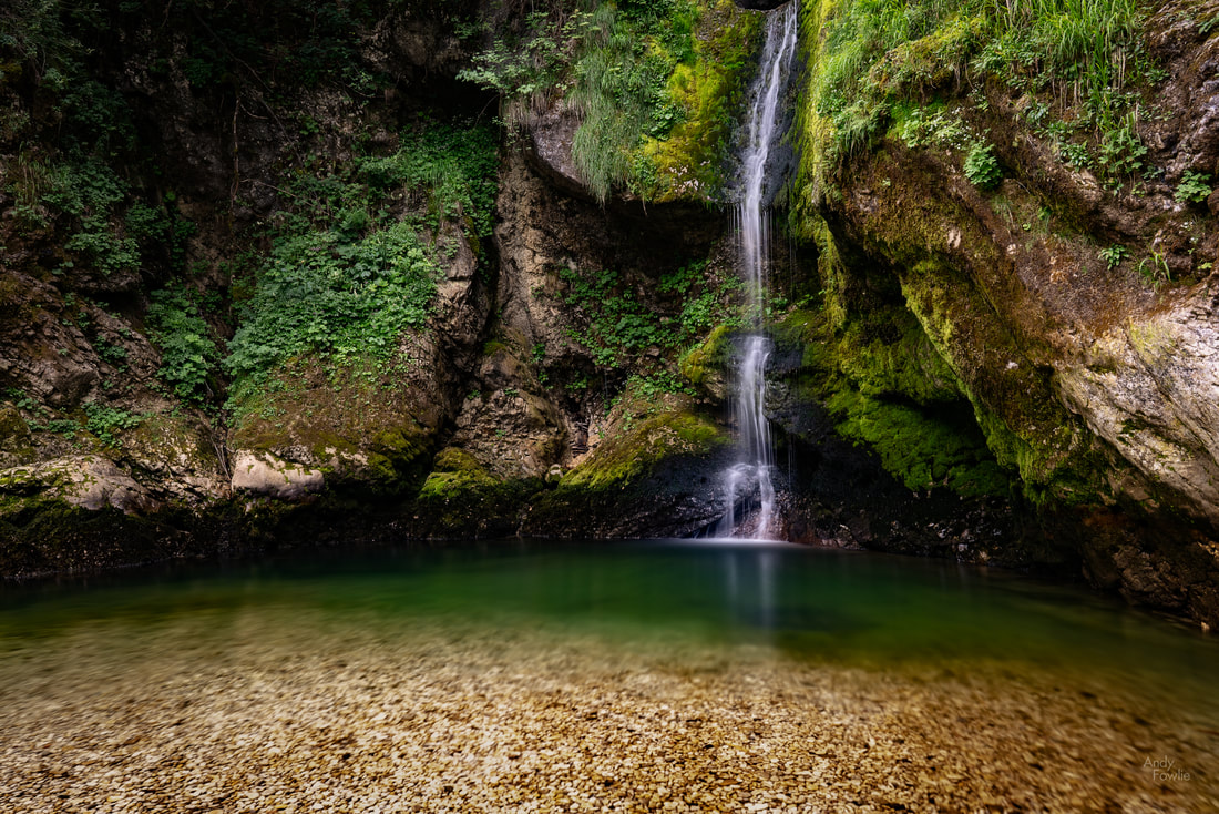
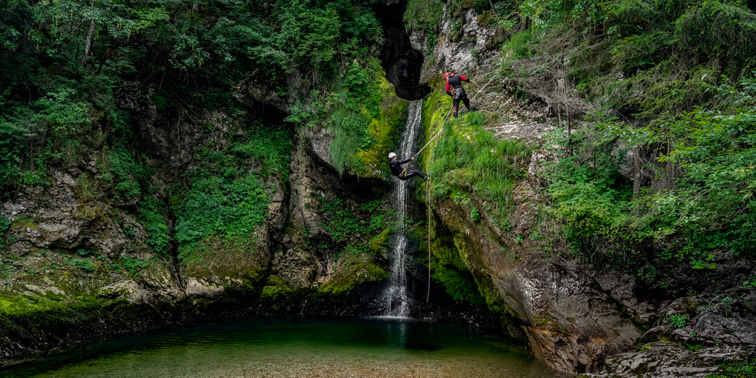
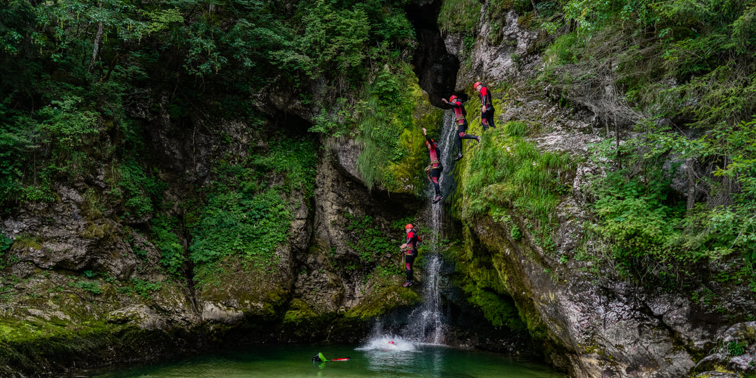
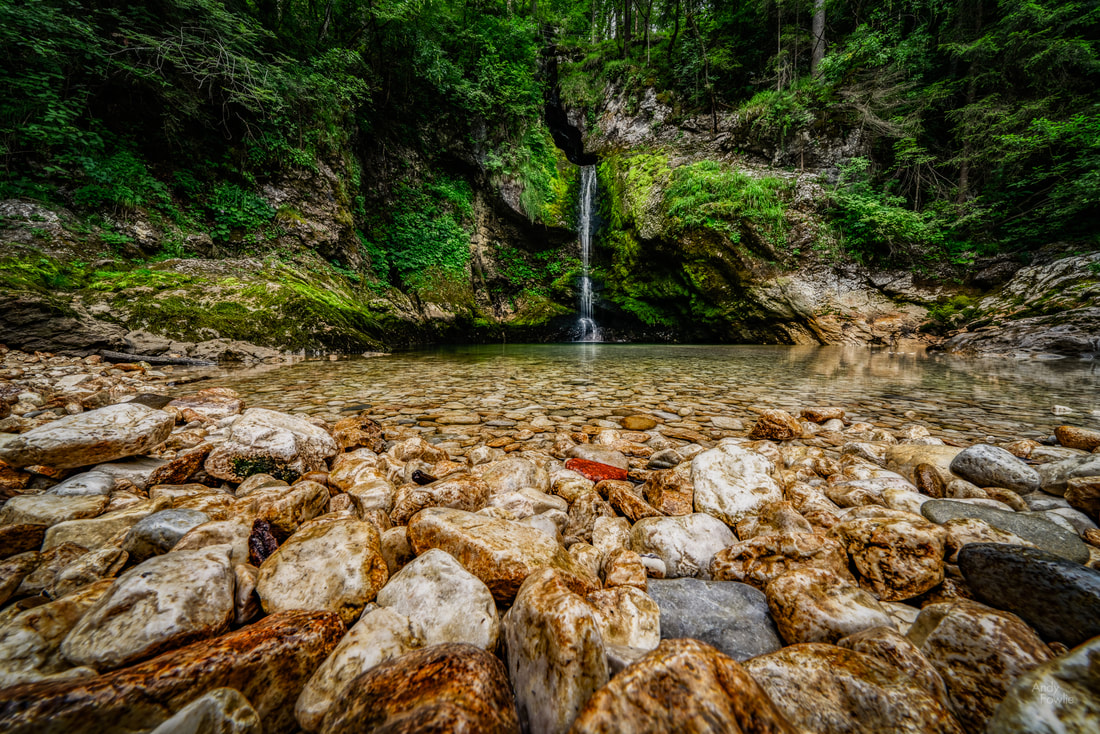
In early August this year I spent some time in North Wales, a magical area for landscape photography. The area contains some beautiful scenery that reminded me at times of the English lake district and at other times of the west coast of Scotland. As it was the height of summer my luggage contained both shorts and sunscreen, sensible and appropriate precautions, which turned out to be outrageously over-optimistic. On this trip, and indeed on every trip of 2019, I have been under a dark cloud (literally, not metaphorically) almost constantly. I have learned over time to embrace whatever atmospheric conditions I am given and tailor my photographic activities to the weather, there are things that work even better from a photography point of view in conditions which you could not describe as pleasant. When the rain pours down, as it surely did when I was in Llanberis, then the light conditions are often absolutely ideal for shooting waterfalls. The highly diffused light which results from a blanket of cloud is ideal for this kind of scene whereas strong direct light would create very harsh highlights and overly deep shadows. The incessant rain helps to swell the flow of running water and gives an extra vivid quality to the green foliage, especially when a polarising filter is also taken into use. The patterns that water makes while descending a steep rock face can often make for an attractive and slightly more abstract "intimate landscape". I sometimes notice people that seem to equate landscape photography exclusively with grand vistas and wide angle lenses. I do often shoot more expansive landscapes but I have found it helpful to employ many different focal lengths on my landscape photography trips, trying to be thoughtful about how best to capture the things that interest me in a scene. For instance, during this 10 day trip I employed 75 different focal lengths from 18mm to 400mm, a fairly typical statistic for me on such a trip. I have spent a lot of time in the UK this year (nearly 3 months in total), more than for any year since I moved to Finland 17 years ago, spending time in multiple areas of England, Scotland and Wales. I feel increasingly strongly that the remarkable past of these small islands is a defining factor in much of what is impressive, and also much of what is depressing, about modern Britain. The huge amount of surviving castles and strongholds which decorate the British countryside are reminders of very different times and a tribute to the people who have made the decisions needed to ensure that they are still (more or less) standing after many tens of generations. Before this trip I expected that the few days I had in Snowdonia would be my favourite part of the trip, the mountains in this area are not especially high (Wales has only 10 of the 350 highest peaks in the UK) but they are often quite steep and prominent compared to the surroundings which allows for some dramatic scenes. The relentless rain made me reconsider some of the (not very serious) climbs that I might otherwise have attempted, muddy and slippery conditions make quite a big impact on both the safety of a route and the effort needed to complete it... but luckily there was still much of interest a little closer to the ground. The various lakes in Snowdonia would have made for ideal photographic subjects in different conditions, but the high winds were killing all chances of reflections, just as they were for the entirety of my visit to the Lake District earlier in the year. One of my days in Snowdonia did at least offer interestingly mixed weather during the day, with clouds racing dramatically across the sky, something I later realised would have lent itself rather well to timelapse photography. Despite the generally grumpy weather the area was very well populated with hikers, tourists and the occasional other photographer, many car parks were full at locations across Snowdonia, but the vast open spaces seemed to manage to swallow the visiting hordes quite effectively and it was possible to find relative solitude by following the second or third most popular trail at a given location. The following day the downpour resumed and I found myself seeking out waterfalls once again. I travelled to my third "Fairy Glen" of the year ( after the famous one on the Isle of Skye and the not so famous one in Rosemarkie). At this location, I was completely alone and plucked up the courage to record footage for an instructional video with my thoughts about how to shoot such a scene... after recording multiple videos over the course of 45-60 minutes I realised that I really didn't much like the composition I had selected and was therefore making a "how to make make a bad picture" tutorial. Although that tutorial will likely never see the light of day I will try such things again in future in an attempt to get more comfortable on the other side of the camera as I think such content could be of use and interest at least to some of my photographer friends and maybe eventually to a wider audience. It is a challenge for a photographer to build an audience and I think that video content might be a way to expand my reach a little if it is done well. I continued to another waterfall nearby, the very touristy Swallow Falls, two miles west of Betws-y-Coed. As is often the case with tourist attraction locations such as this you are funneled (through a turnstile where they relieved you of a couple of pounds in this case) to a certain set of viewpoints and don't have a lot of choice about your shooting positions. Crowds of people also makes it a little harder to set up a tripod. Such places are often not ideal for landscape photography but if, like me, you also really enjoy seeing new places it is inevitable that you find yourself in such an environment now and then. In this situation I usually try to capture the classic shot you are directed towards (such as the one above) and then look for something which can be more my own. It is always possible to find something that has not been done millions of times before, but it is not always possible to find something which is any good. Looking at the scene above I thought that there would be a possibility to use a longer lens and capture a more intimate scene featuring just the overhanging branches on the far bank of the river and the cascading water of the falls. For anyone that finds themselves in this location, the Swallow Falls Hotel across the road from the waterfall entrance provides a cosy place to shelter from the elements and hearty pub meals to restore your energies. One common feature between this area and England's Lake District is the prevalence of slate mining as an activity. I took the opportunity to spend my final morning in Snowdonia visiting the site of the huge Dinorwic slate mine which is no longer active but at it's peak was the second largest slate mine in Wales and also in the entire world. This sprawling site has numerous paths running through it and affords views across the valley to the peaks on the other side as well as views long the valley itself. On this day the cloud cover percentage was reduced to only about 90% which is actually pretty ideal for daytime landscapes as there is the attractive possibility of the sun bursting through now and again and selectively illuminating the otherwise gloomy scene. This morning also happened to be the first day of the 2nd Ashes test between England and Australia so I was able to tune in, by phone or by car radio, to the familiar sounds of Test Match Special for eight hours a day for the following five days. The game of cricket, in all it's forms, but especially as a five day test match, lends itself like no other to the science and art of commentary, it is a sport which can be seen in vivid colour without needing to see any visuals. There are a number of reasons for this which are described below... for any heathens that do not already love cricket and are not prepared to be persuaded, I recommend skipping that part. Back to the slate mine, where some of my fellow humans have seen fit to leave their mark for others to see, the result is an image full of detail and texture. Well, I think that i will leave it there for this time, please join me next time as i continue to explore beautiful North Wales! Andy APPENDIX - Why cricket commentary is the highest form of the announcing arts The first key factor in elevating cricket commentary to the peak of the announcing arts is the perfectly detailed set of definitions. The vocabulary describing field positions is one aspect of this, it is truly wonderful how concisely the positions of the 15 persons on the field (bowler wicketkeeper, 9 other fielders, two umpires, two batsmen) can be described at any time, these definitions work equally well as a reference at all the different cricket grounds in the world and in all possible permutations. Similarly all the bowling styles, behaviours of the ball, batting strokes and outcomes of a ball bowled can be described with perfect clarity (to anyone who also knows the definitions) due to a beautifully complete, but versatile and flexible, set of definitions. This is already remarkable, but may not be absolutely unique among sports. The second ingredient which plays a key role in elevating cricket commentary to greatness is the element of time. Cricket takes ages! In a world where everything flashes past at ever increasing speed and attention spans are measured in fractions of seconds (how many of you looked at each one of my pictures in this post for more than a second each?)... a single game of test cricket has the audacity to last for five whole days. Seven or eight hours a day for five days! This is already quite something, but after all that effort there is still (historically) a 30+% chance that no result will be reached and the game will end in a draw. During these 40-odd hours of play (including breaks) the actual activity happens in short moments, a second or two of action about 90 times per hour, with frequent and extended periods where the drama, meaning and excitement (yes, excitement!) is to be found in the relentless overall trajectory of the play and the narratives that are woven around the teams and players rather then any particular ball bowled having an individual meaning. Cricket commentators might expect, in the best case, to spend noticeably less than 1% of the time explaining what is happening on the field and more than 99% of the time discussing other matters. Even these figures are over-optimistic, they assume that play will always be possible... but cricket is played ouside, often in England, and rain or wet conditions underfoot are fatal to the chances of play! It is quite possible for an 8 hour cricket commentary day to include not a single minute of actual cricket! The cricket commentary team must therefore collectively be a master of everything that might happen in the specific game itself, everything related to everything that might happen in the specific game itself, and also a host of other things, some of which may even be completely unrelated to cricket. They also have an unparalleled opportunity for exploration of a wide assortment of topics. The best of them, among which the BBC's test match special team can certainly be considered, manage to excel in this seemingly impossible task with ease and in style, keeping the listener interested from start to finish, again and again. The pinnacle of achievement among cricket commentary must surely have come last winter when the BBC did not manage to secure the rights to describe the actual cricket part of the cricket. So "the cricket social" was born. In this format the cricket commentators simply skipped the menial task of describing the (1-2 seconds ninety times per hour) of actual cricket and the result was masterful, 100% pure, commentary. Wonderful stuff. Recent posts Despite having grown up in Scotland, I had never really spent any time in the west of the country. On my recent trip to my home country I tried to make up for lost time, visiting some of the beautiful places in the area between Stirling and the Skye bridge. Waterfalls, mountains, castles, wildlife... this part of Scotland has a huge amount to offer. My first stop was at the Loup of Fintry, a series of waterfalls on the River Endrick, set in some lovely rolling countryside. Waterfalls were a strong feature of my Scotland trip and are always interesting photographic subjects, any scene with a combination of moving and stationary elements provides additional possibilities as you can decide whether to freeze the motion with a short shutter speed or blur the motion with a longer exposure. As ever at these popular (and heavily photographed) destinations it is my hope to find a more original composition, often the best chance for that lies with a more intimate scene. I continued my journey, staying the night near to Aberfoyle. This area would have been full of interest for me under normal conditions but the weather was at it's most uncooperative and any more expansive views were obscured. I decided to change my activities to fit the conditions and spent my time hunting for moody scenes on the edge of a forest. I have found that having a solid plan for what to photograph can be a great benefit, but only when accompanied by a willingness to totally disregard that plan when prompted to by the conditions or the light. It is easy to spend a great deal of time and effort chasing something that isn't really possible just because you get too set on a pre-conceived idea. Leaving Aberfoyle behind, but bringing the dismal weather with me, I decided to head towards Glencoe for a few days. On the way I sought out some waterfalls - overcast and miserable weather is highly suitable for waterfall photography. My favourite of these was the Falls of Falloch. My base in the Glencoe area was the nicely situated Isles of Glencoe hotel in Ballachulish, on the shore of Loch Leven. This location was perfect for exploring the surrounding territory and also offered some photographic opportunities without needing to get into my rental car. During this section of my trip the days took on a certain similar rhythm as the weather was variable at best and miserable at worst. Go out, explore, get wet, try to get things dry, sleep, repeat. I tried to take advantage of the occasional moments where there was a break in the gloom and otherwise alter my ideas such that I was embracing the conditions rather than fighting against them. When I visited the shore of Loch Laich the conditions were exceptionally miserable, but perhaps this was appropriate when visiting the Castle of Aarrgh from Monty Python and the Holy Grail (also known as Castle Stalker in real life). The gloomy conditions were still prevalent by the time I made my way to Kilchurn Castle, a ruined 15th century structure on the banks of Loch Awe. When the water level is low it is possible to see this castle from up close but I found that the most attractive views were to be found from the other side of the Loch. As I was exploring these possibilities I noticed that the sun had found a small window in the fast moving clouds and a golden beam of light was making it's way along the hillside in the background. I was hoping that the light would fleetingly illuminate the castle itself but I had to make do with it painting the hills behind in gold. The lovely Glen Etive can be found just up the road from Glencoe. There is a very popular photography spot near Glen Etive where a small waterfall provides the foreground with the iconic triangular peak of Buachaille Etive Mor dominating the horizon. This was one of those spots where, for me at least, the experience of visiting this spot was more depressing than inspiring - the procession of photographers and tourists all heading to the same spot had created a huge mud bath where the path used to be and the activity was clearly detrimental to the area. I still captured some images there, but without the good feeling that I often get from new places. Over the past months I have been somewhat in conflict about my activities. I very much enjoy visiting new places, being out in nature, and trying to capture my own interpretations of the places that I find inspiring. I try to conduct myself sympathetically towards the places I visit and not leave any detrimental traces behind. On the other hand I hate to see beautiful locations getting spoiled by careless human activity and on occasion there are places like this where the sheer scale of traffic is very damaging even if all the visitors behave responsibly, just the act of going to such a place has a negative impact. Photographers are not the only animals that can be found roaming in Glen Etive, a number of beautiful native red deer can be seen, if you are lucky, wandering around on the hillsides. As I continued up the glen, on a single-track road with passing places (of course), yet more storm clouds and the setting sun were locked in an apocalyptic struggle. Back in Ballachulish it was finally possible to get some reasonable morning weather as the early cloud gradually gave way to a brighter and more promising day. The mixture of clouds and sun can provide some of the most attractive conditions, I wish there had been a bit more of this kind of weather during my trip - but Scotland in any season is always likely to mean you will have at least some unfavourable conditions to deal with. The terrain of Scotland has fostered quite a tradition of climbing. There are no particularly high peaks (Ben Nevis is the highest at 1345m / 4413ft) but there are 282 separate summits of 3000ft or higher. These 3000ft peaks are known as Munros, after Sir Hugh Munro who produced the first list of 3000ft peaks in 1891. The Ladies Scottish Climbing Club was formed in 1908 by a group of lady climbers whose gender prevented them from joining the Scottish Mountaineering Club. Although Ben Nevis is the highest peak in Scotland, it is not the most spectacular looking when viewed from Fort William (the nearest major town) as the peak appears to be part of a wide and gently sloping dome rather than making a vertical reach for the sky such as you might see in more spectacular ranges. The mountain provides a stern challenge for climbers despite the benign appearance from a distance, each year it requires a few dozen rescues to be performed and claims a handful of lives. As I made my way from Fort William back towards the Isle of Skye I passed through some beautiful scenery. A heavy snowfall coated the landscape in a white blanket and gave a very pure look to the scenery, conditions for driving were quite manageable on the main roads but it would have been easy for an unwary motorist to get stuck when entering lay-by's or side roads. As I drove through the beautiful Glen Shiel all trace of colour left the sky as the white clouds dominated, the fresh covering of snow made for a completely monochrome scene. I spent the night in the cosy Kintail View bed and breakfast in Ratagan, a small village on the shores of Loch Duich. My thought was to photograph the mountains opposite (the "Five Sisters of Kintail") the next morning, reflected in the loch... but as is so often the case the shot that I was planning for just wasn't on the cards. The wind was rippling the surface of the loch and ruining the reflections while a heavy snowstorm was blotting out the rising sun. After enjoying a cooked breakfast (featuring a duck egg instead of a hen's egg) I walked up the rather steep old military road towards Glenelg, hoping to find a good vantage point. At this point the snow became increasingly heavy and visibility was reduced to a minimum, providing a different kind of opportunity. As I made my way back down to the village the sun started to fight it's way through the snowstorm which made for some very beautiful light, allowing me to capture one of my favourite images from this trip. That's it for this time, thanks to all who have read this far and to any who like or share this post on social media, I appreciate the support. Until next time, Andy Water plays such a central role in your experience when visiting the beautiful country of Iceland. Surrounded on all sides by the Atlantic ocean, the 4970km of coastline provides amazing opportunities for interesting seascapes, while fans of freshwater can spend countless hours visiting over 10,000 waterfalls. Water also plays a key role in providing electricity through hydropower (~73%) and geothermal power (~27%). In this post I will share some water themed pictures from my autumn trip to Iceland. Iceland's beaches are fascinating, beautiful, and in some cases very dangerous. It is wise to heed the warning signs in some popular places and to treat unfamiliar places with caution - never turn your back on the ocean. Volcanic basalt rock which makes up much of the exposed rock in the whole country, leading to the beaches with black sand instead of the golden or white sand beaches that are common on geologically older land masses. Some of the spectacular Icelandic waterfalls have become huge tourist attractions, but with over 10,000 to choose from there are chances to get some of the less popular ones to yourself, at least for a few minutes. This trip took place in the middle of October and the autumn colours were strongly visible at that time, providing quite a beautiful colour palette at many locations. Iceland is generally not a land of trees and forests, but the abundant mosses and grasses cover the volcanic landscape with a blanket of yellows, oranges and reds at this time of year. On this trip I made a first (and probably last) visit to one of the more popular tourist destinations, the waterfall at Svartifoss. Searching for a parking space took quite a few minutes, it was very full despite the massive capacity (I guess maybe 1000 spaces), but I followed the trail upwards through some nice scenery to the waterfall, surrounded by hexagonal columns of basalt. The area around the waterfall had a population density similar to downtown Manhattan which made photography somewhat challenging, particularly because many people completely ignored the fences and signs informing you where you could and could not go. I set up my shot and waited quite some time for a break in the rule-breaking human traffic... a wait which included being asked to take phone pictures of some of the trespassers... and eventually managed to get a shot. It was great to see Svartifoss, but I will not rush to see it again. On the walk up to Svartifoss there is a vantage point for another waterfall, Hundafoss. The crowds did not seem to be so interested in it, but I thought there were some nice colours in the bushes near the top of the waterfall. Moving water can create great interest in landscape photography, but sometimes it is preferable to have things totally still - a smooth and calm body of water can work as a perfect mirror. With a wide-angle lens, low to the ground, you don't need much more than a puddle to get a full reflection of your scene. I am always drawn to these reflection shots (I sometimes feel like I do too many of those) and usually manage to spot opportunities for them, perhaps trying to rely on that a bit less would make me pay more attention to getting interesting foregrounds for my pictures and give better results... something for me to think about in future. My journey continued round the southern coast of Iceland and when I passed through the tunnel just past the turn-off to Stokksnes (see previous post) I was into new territory, in previous trips I had not gone further around the coast than Vestrahorn. The coastal road (still highway 1, the road that goes right round the whole country) goes through quite beautiful scenery between Vestrahorn and its less well known twin - Eystrahorn. Eystrahorn has a rather similar shape to Vestrahorn, the mountains are a little higher and maybe more dramatic, and there is a similar bay in front of the mountain backdrop. The bay cuts in from the left when facing the mountains whereas it cuts in from the right at Vestrahorn, so if you see a "Vestrahorn picture" where the ocean is on the wrong side then you probably actually saw an Eystrahorn picture. Continuing round the coast, moving north up the east side of the country, the waterfalls just keep on coming, one after another. I stopped at the side of the road to shoot this next one, it was very beautiful but as far as I can tell it does not have a name... in another country perhaps it would be more of a highlight. My Iceland trips have usually been arranged at quite short notice and that has led to a variety of different accomodations... not all of which I would be desperate to revisit. The east of the country starts to be remote enough to at least slightly reduce the amount of visitors and those who do venture there are probably doing the full circle around the country, so maybe this is an area which is more passed through than stayed in. I spent one night in the small town of Djúpivogur at the Hótel Framtíð, which proved to be a perfect place to stay with a good restaurant and very comfortable rooms. The price:quality ratio was much better than any of the other places I stayed on this trip and I definitely recommend it for anyone who visits this area. While having a morning cappucino in the reception area of Hótel Framtíð I was surprised to hear a familiar voice addressing a group of asian people that had been gathering nearby, it was Mads Peter Iversen. I have never met or spoken to Mads, but I have listened to many of his YouTube videos, he has a lot of great material about different locations, including practical information such as where to park and all the other things which it is hard to prepare for without seeing a location. I was interested to hear how he explained the coming day to his workshop group, and I thought I might say hello after he had finished his business, but he disappeared before I had an opportunity. Anyway... check out his channel, he is a good explainer and a great photographer also. Back to my waterfall hunt... I continued round the coast on a day where the weather slowly deteriorated. My new "furthest point anti-clockwise around highway 1" came when I visited Folaldafoss... yet another waterfall, by which time the weather was a full-on snowstorm. Normally I don't like to have any people in my images but on this occasion I felt like it helped the picture to include the guy making a video call live from the scene. It is always a little sad to be making my way slowly back towards the airport instead of heading out into the unknown, but in Iceland there is always something interesting to shoot. The interest is there no matter the time of day, as darkness falls the possibilities for stars and auroras arrive. On the morning of my final day I decided to head for one of the most popular tourist destinations, the mighty Gullfoss waterfall. My idea was to try and beat the main traffic of the day by arriving well before any bus tours starting from Reykjavik could hope to be there. Gullfoss is a remarkable sight. The Hvítá river makes a sharp turn and falls down into a deep canyon with an average of over 100 cubic metres of water per second cascading over the falls. Following the path down to the rocky platform was a treacherous affair as the mist generated by the falls coats every surface in ice, there was advice to use crampons on this path and that was good advice. The view once you get closer to the drop into the canyon made quite an impression due to the enormous power of the water. As much as I like trying to capture the grand wide views of these places, my favourite pictures usually come when focusing on a more intimate part of the landscape, giving an almost abstract impression and making it hard to identify the location. Another advantage of these more intimate landscape shots is that there are still possible compositions, even at very famous places, which have not been shot a million times already, so there is more chance to come up with something interesting and original. My final stop in this Iceland trip was in the geothermal area area at Geysir, the place which gave rise to the english word geyser. The original Geysir geyser is largely dormant now, but a number of its neighbours are still active to some degree, the Strokkur geyser being the most impressive and reliable of those, bursting forth every ten minutes or so. The difficulty with photographing a geyser, especially these geysers at Geysir, is that for 99.9% of the time the geysers are just a hole in the ground surrounded by mud, fences and people... not an ideal recipe for a great composition. The best that i could come up with was to find a "least unattractive" patch of mud as a foreground and then try to time it so that I could catch the geyser in full eruption (waiting until it seemed to be "due" and then shooting continuously). Well, that's it for this time. Next time I will conclude my Iceland trips with a post focusing on ice. I would like to thanks all my readers for liking, sharing and commenting on my posts during this year and to wish you peace and happiness during the festive season. Andy Normally my photography travelling is done solo, but a couple of weeks ago I spent 5 days in the Appenzell Canton of Switzerland as a guest of Robert Juvet and his family. Robert and I have competed against each other in some photography competitions on GuruShots and we have become friends through some photography related facebook groups - meeting in person for the first time earlier this year in Budapest. When he invited me to come and shoot with him in his home country of Switzerland for a few days I was very happy to accept. The Finnair link from Helsinki to Zurich is another perfectly planned route, you can leave early in the morning and return late in the evening, allowing you to make the best of both travel days as well as enjoing the days inbetween, and I met up with Rob and his family by lunchtime. Our first location was the Thur waterfall, a 10 minute walk from the village of Unterwasser. The waterfall is at the end of a winding path which follows the downstream progress of the water, ending up in a cave like area in front of the waterfall itself. You can also follow a path up above the waterfall and view the spectacle from different angles. This was an excellent place, kind of hidden away near to a small village in the middle of nowhere, perfect. One feature of this trip was the prominence of interesting bird life. On the relatively short drive from Zurich I had seen red kites circling over the motorway on at least a dozen occasions and here at the waterfall I watched a pair of common buzzards wheeling around overhead. From Thur we continued the waterfall tour, following a steep, overgrown and vaguely unsafe path from a roadside car park down to Ober Glessenfall. Our third waterfall of the day was Glessenfall II, but that scene did not really get my attention and I found myself a lot more interested in identifying the small birds that were flitting around the area, one of which was a grey wagtail - a species I had not photographed before. It is always nice to photograph a new species, even if - like this time - it is too far away and in too dark a place to get a good shot. It always seems a bit unfair that the Grey Wagtail, a striking bird which is about 40% yellow, is called the Grey Wagtail... but it is a victim of the existence of the even brighter Yellow Wagtail and the stunningly yellow Citrine Wagtail. The following morning it was time to head for the mountains. We took the cable car up to Ebenalp. I have been on a number of cable cars... and I guess I will be on a number more in future... but it never feels like a particularly safe way to travel. We survived the cable car journey and were rewarded with fantastic panoramic views of the surrounding peaks and valleys, including the summit of Säntis (the highest point in the Alpstein massif) and the beautiful alpine lake of Seealpsee. The area at the top of the Ebenalp cable car ride is a starting point for a number of different hiking trails and the route was a very popular one, people were crammed into the cable car in scenes reminiscent of the Tokyo subway. Hiking, and photography were not the only activities taking place on Ebenalp, the area near the cable car station is a very popular launching point for paragliding. The considerable updrafts made for superb conditions for that activity and it seemed that the skilful paragliders were able to gain a couple of hundred metres of additional altidute and spend many hours swooping around. The paragliding was hugely impressive to watch, but the fascination was not universal... the cows that were summering on the high pastures seemed completely uninterested. After purchasing ice cream to combat the considerable heat we followed a hiking trail which led down and round the mountain side with the first notable stop being at Wildkirchli, a series of three interconnected caves with a small chapel inside the lowest cave. The trail continued to wind its way around the mountain face to the remarkable Gasthaus Aesher, a tavern situated under a huge overhanging cliff. There were too many people there for me to take a decent picture but the place was certainly an interesting one. Although we had already descended a few hundred metres from the cable car station, the views were still fantastic to many directions. While my kind host continued to capture landscapes, I was distracted by the presence, once again, of a black redstart, the bird species that has been following me around Europe, presumably to make up for always eluding me in Finland. After hiking back up to the cable car station, and descending once more to the car park, we found an impossibly cute (and very tiny) kitten nervously exploring it's surroundings. After sensibly restricting ourselves to less than 1500 kitten pictures each, we were able to break away and head for the next location, the Leuenfall waterfall. As we made our way towards the trail which led down to the waterfall, I got interested in how the light was filtering through the trees in the area of a small steam, and I ended up preferring that picture to any that I took at the waterfall itself. The following day we visited the same area once again, but instead of heading up the mountain by cable car, we set off on foot on the steep climb to the beautiful Seealpsee lake. The trek to Seealpsee takes about one hour and, although the road has a good surface (it acts as a service road to the guesthouses and restaurants at Seealpsee), it is significantly uphill all the way. When the temperature is in the 30's and you are carrying 10-15kg of camera stuff (as well as any extra kilos that you might keep inside your body) then it is a hard slog. The effort however, is certainly worth it - Seealpsee is very beautiful. After the strenuous climb, the walk around the lake is a very pleasant one. There are beautiful views to all directions and there is always the possiblity to use the lake for reflections. The alpine cows are ever present, happily chewing their way through their day surrounded by the beautiful scenery. The lake itself features a number of different territories that are patrolled and defended vigorously by Eurasian Coots. These birds are a lot of fun to watch, especially if it is anywhere near the breeding season when they are likely to feel territorial. When a "rival" (i.e. any unsuspecting bird of any species that just happens to be within 40m) happens to catch their attention then they launch their attack from a very long way away, running quickly and comically across the surface of the water to chase them away or start a vicious fight. When the rival is also a coot then there is the prospect of them both running after each other which looks even funnier. Anyway... on this occasion the coots were comparatively calm. Before long we were making our way back down the steep service road and heading to our next destination, the cable car journey to the summit of Hoher Kasten. This cable car journey was much like any other - looking forward to the view at the destination while slightly concerned about the possibility of falling to your death during the journey. This one had one unexpected difference, it stopped for a while, without explanation, a bit more than half way up... while you dangled about 100m above the ground. I guess it was intended to help you admire the amazing panoramic view... but without knowing that it was going to happen the first thought was that something had gone wrong. When you arrive at the top of the mountain you are rewarded with views over 4 countries (Austria, Germany, Liechtenstein and back into Switzerland). At the right time of the right day this place would be an unbelievable photography destination, but on this day the light was very strong and direct and there was a considerable haze over the mountains, so no amount of post-processing could really rescue the pictures. Another welcome feature at the summit is the large refreshment area with great viewing windows, perfect to get yourself together after the cable car journey. The mountain section of this trip was now over and for the remaining days we would concentrate on other things, so I suppose this is a good place to call an end to this post... we certainly packed a lot into these couple of days. As a final offering I will leave you with this picture of the moon at its First Quarter phase, halfway between a new moon and a full moon. My report will continue with a new installment in a few days time. Huge thanks to Robert Juvet and his family for their amazing hospitality on this trip! Andy So.... where were we... ah yes, I signed off last time on my way from the Grmecica waterfall back to my car in Nomenj. I always enjoy it when i feel like the first shooting destination of the day has been a success. On a trip like this I usually end up with a handful of pictures that I am satisfied with and if I am lucky then maybe one that I really like... so when I feel like the day has started well then it means that anything good from the rest of the day feels like a bonus. Of course the opposite is also true... an uninspiring beginning increases the pressure on the rest of the day. Just a little something for any psychologists out there. I decided to head for the mountains to continue my day. I drove to Lake Jasna in Kranjska Gora. Lake Jasna is actually made up of two artificial interconnected lakes and is usually a lovely place to catch your breath before continuing into the mountains. On this occasion however dark clouds were gathering overhead and rain was starting to fall. It did not seem very promising weather for landscapes so I turned my attention to wildlife where the well diffused light was an advantage and the dark skies were not a disadvantage. The first bird I spotted was a black redstart... a really beautiful bird and a relatively difficult one to find in Finland, but I have been lucky enough to see one in Germany, Austria and now Slovenia as well as Finland this year. As you proceed from Lake Jasna the road takes you up into the mountains through the Vršič Pass, a wonderful road which connects Kranjska Gora to Trenta via the 1611m high mountain pass. This is quite an experience to drive with 24 hairpin bends on the way up and 26 hairpins on the descent towards Trenta. The present day road was built on the route of an earlier track during the first world war by approximately 10,000 Russian prisoners of war, their work and their losses (in a major avalanche which swept aside the avalanche fences) are commemorated by the wooden Russian Chapel which stands about half way up the mountain on the Kranjska Gora side. As you approach the highest point of the pass you can find the starting points of a number of hiking or climbing routes and marvel at spectacular views of the nearby mountain peaks. The huge face of the Prisank mountain provides two points of interest which can be clearly seen from one of the roadside parking areas - the Prisank Window and the Pagan Girl. The Prisank Window is a 80m high, 40m wide hole which goes right through the mountain, one of the largest and best known mountain windows in the Julian Alps. The Pagan Girl is a pretty good attempt at a human face looking back at you from the rock wall, formed by erosion and rock falls, I remember reading at the site that the face was 120m high, but I cannot find confirmation of that from any other source so it may not be correct. In order to appreciate the sheer scale of these cliffs I think that the following picture which I took in 2017 might help - the three tiny ants you can see on the top of the ridge are mountaineers. At the highest point of the pass there are a number of restaurants, a good amount of parking space and the possibility to follow many hiking trails. On this occasion I just looked at the view and headed back to base. The following afternoon England were playing Sweden in the World Cup quarter final and I wanted to watch the match... but I also wanted to take pictures... so I decided upon an early start and an ambitious road trip. I left the hotel at 0400 and was in position at Lake Jasna shortly after 0500. The water level was remarkably higher than the previous day and the sunrise was a total non-event... I moved on shortly after 0600. By 0700 I had negotiated the 24 ascending and 26 descending hairpins of the Vršič Pass and was following the path of the very beautiful Soca river through the valleys. I stopped to stretch my legs at the Great Soca River Gorge before 0800, this is a section of river which has carved out a steep sided canyon for itself, it is a beautiful and dangerous place with an unguarded drop to the raging water and rocks below. The section of river downstream from the gorge is a bit more open and gentle and a popular spot for sun worshippers and people in need of the refreshing experience of leaping into pools of cool water from the less high and less dangerous rocky banks. Although I enjoyed being there I did not find good ideas for photographs. By 0900 I was having a latte in the hotel near to the Boka waterfall. After a steep uphilll climb it was possible to observe this mighty waterfall, with an initial vertical drop of 106m and a secondary drop of 30m before feeding into Boka creek. The creek is one of the shortest in Slovenia, joining the Soca river after only a few hundred metres. The waterfall has the highest flow of any in Slovenia, reaching upwards of 100 cubic metres per second in the wettest season. On this occasion the flow was significantly less. The scale of the waterfall is difficult to communicate in a photograph due to the scale of the surroundings... a 106m waterfall does not look so impressive when it is set in a 400m high rock face. You need such a wide angle lens to communicate the whole scene that the waterfall itself is reduced to a miniature size in the frame. I had understood that there was an even higher viewpoint from where the view could be further improved but after ascending for another 15 minutes or so I began to feel that the downward journey would be a bit too hazardous if I continued upwards, there was quite a lot of loose rock and stones underfoot and it was a bit slippery. With no other people around I thought that the possibilities of having an unnoticed accident were higher than I would like. Anyway, this was a great place to visit and I recommend it for anyone who is in the area. It was possible to see the high water mark from the rocks at the base of the waterfall, I believe that it would be absolutely spectacular when viewed in peak flow. Onwards... my next stop was supposed to be Kozjak waterfall... but a difficulty with navigation brought me instead to a lovely hillside in the middle of nowhere... after ascending a large hill by a series of hairpins on a road which was not very wide. Here, on this beautiful hillside, battalions of insects were going about their most important business - pollinating left, right and centre. I once again negotiated the hairpins on the way down the hill and found the spot I was aiming for in the first place, eventually managing to park in a "not big enough for all the cars" car park - a task which was complicated by some "its too hot and I already had enough of this and the kids are getting on my nerves" driving from some other visitors. Onwards... to Kozjak waterfall. The waterfall is easy to find by following the signs, and the crowds, as the path winds its way up the hill and along a wide canyon. The final 40m or so is on a narrow, wet, raised wooden ledge on one of the canyon walls into a cave like area where the waterfall is situated. This area requires attention and care - the wooden boards are generously sized for proceeding in single file but they have to carry two way traffic and passing is already a bit hazardous. The drop to the rocks and water below is only 4-5 metres, but a fall from that height to the rocks would already be a serious matter. I imagine that in the times of heaviest traffic there could be some unsafe situations there. In order to get a great photo at this waterfall I think it would be best to time your visit to avoid the crowds (including the crowds of cavers arriving on ropes from above the waterfall) and also to consider wading along the bed of the stream instead of following the raised platform, that would have been a practical alternative on the day I visited but may become less practical if the water flow or water level was significantly higher. I had planned to visit the Tolmin Gorge next, but time was ticking and after being sent in another wrong direction by the navigation system I decided that I continue my circuit towards the hotel and get there in plenty time, maybe having a swim before the game. This proved to be a good decision, as the navigation system in the rental car took me on an extreme cross country route winding up and down hills, finally getting to a place where the road I needed to take was closed for maintenance. The detour was extensive and added nearly an hour to my journey. I arrived 3 minutes before kick-off. Still, a good day. The following morning I headed for Jamnik once again, hoping to get an interesting sunrise. The period before the dawn was perfectly pleasant, but not that interesting. No nice colours to be seen, no interesting clouds, no mist... just plain. I decided to wait around for the moment when the sun first cleared the mountains in the background. After leaving Jamnik, an impractically located church in the middle of nowhere on the top of a steep hill in front of the mountains, I decided to scout a new location. I drove towards St. Tomaz - a totally different impractically located church in the middle of nowhere on the top of a steep hill in front of the mountains. Variety is the spice of life. While proceeding towards St. Tomaz I had a number of navigation related mishaps. In Slovenia it seems that you have perfect motorways and the roads to major towns are very good, but outside that the road quality degenerates very quickly. The navigation data is very noticeably worse than in other European countries, no matter which mapping data you rely on (I saw no difference between Here maps and Google maps). It seems that context data is totally absent. Yes there is technically a road, yes the limit might be 90km/h on that road... but in practice a normal car should not attempt it at all and if you do have an offroad vehicle then it would still not be sensible to try and drive faster than 30km/h. This means that the "what is the best route" decision making is very, very poor. Eventually, after more than an hour of detours and circles, I arrived at St Tomaz, and it was a fantastic place. Having found the church itself I tried to make my way to a good viewpoint, this church is better viewed in context, from a distance (in my opinion). Here the navigation outdid itself once again. From my parking space it sent me down the hill again, a couple of kilometres of steep, winding, single lane road... and then had me turn right, right and right again before proceeding back up the hill via the same road to where I had started... in order to continue along a dirt track located 30m from where I had been parked in the first place. The ruts were so deep that the vegetation in the middle of the overgrown track was scraping the bottom of the car... there is no way I was going to commit my rental car to 11km of this before the next turn... so it was back down the same damn hill again to find a different route. Eventually I got the the place I was looking for, on a nearby hill close to Rantovse. This was a good scouting mission, finding the best angles to shoot the sunrise the following morning. Now there was the simple matter of just driving back to the hotel. Once again the navigation system sent me on a tour of the worst possible roads. After 40 minutes I saw a church and stopped to allow my frustration level to settle down... maybe a prayer would have been helpful also. I saw St Tomaz from the church... it should have been 40 minutes behind me but I could see it sitting there a few kilometres away. Great. The butterflies fluttering around the church garden cheered me up. Taking personal responsibility for all navigation decisions, I made my way back towards the hotel using the "largest road is quickest even though it says it is not" principle. After a short rest another failed attempt was made to find interesting sunset light at Lake Jasna... once again nothing much happened. A somewhat trying day... but no matter. The following morning I was up at 0315 to make my way back to St Tomaz for the sunrise... and it was almost a success but not quite. There were some nice colours in the sky but the clouds were too big and too dark only starting to thin out when the sun was already well above the mountains. In the right conditions this could be a truly magical place for a photograph, but all you can do is make the best of whatever conditions you happen to get. Sometimes you are lucky, but 95% of the time you just have to make do with something which is not quite what you hoped. In such situations you can anyway enjoy just being in such beautiful places, safe in the knowledge that all the people who are sleeping instead of standing on a remote hill before 0500 are missing the whole thing completely. For my final hours on this trip I returned to Bled and had a last walk around that beautiful lake, pausing to visit St. Martins church before heading back to the car. Overall this was a really enjoyable trip to a magical country. I hope to return to Slovenia sometime in the future. Thanks for reading! Andy For some time now I have wanted to return to Slovenia, a beautiful and mountainous country in Central Europe, bordering Italy, Austria, Croatia and Hungary... so I was very happy to visit there for a few days earlier this month. As with my previous Slovenia trip, I decided to concentrate on the north-west of the country, basing myself in the town of Bohinj, quite near to beautiful Lake Bled. One defining characteristic of Slovenia is the multitude of churches all over the countryside, often located in the most beautiful (and most inconvenient) positions on the top of hills. My first stop on the way to Bohinj was at one of these, the church of St. Primoz in Jamnik. The conditions were not that good for photography so this visit was more to see the status of the location, I would return at a better time later in the trip. The hot and humid summer was well under way in Slovenia which meant that all the flowers were blooming and all of nature's creatures were out in full force. My arrival day was one of low activity... the early morning flight did not fit well with the schedule of the World Cup, especially as the previous night's final game between England and Columbia required extra time and penalties to decide the tie. Sleep was prioritised over sunset. The next morning I was somewhat restored and drove to Bled to catch the sunrise at about 0430... and faced an unwelcome surprise. The Pilgrimage Church of the Assumption of Maria, on an island in the lake, is the primary subject in most of the best Lake Bled photographs... but on this occasion it was covered in scaffolding, which rather dented my hopes, and slightly wasted what would turn out to be the only beautiful sunrise of the week. Scaffolding or not, Bled is a beautiful place, especially in the early morning before the inevitable multitudes arrive. I walked around the lake on the mostly flat 6km long trail, passing a number of fishermen and fisherwomen, while being lapped by the early morning joggers. The calm beautiful waters of the lake provided some nice opportunities for reflections and started to ease my scaffolding related disappointment. I was also partly relieved to realise that (due to the scaffolding) I would no longer feel the need to make the steep and exhausting climb up to Mala Osojnica... the view from the top is fantastic, as long as you survive the climb. Luckily there are more things of interest to photograph at Bled. Although the majority of Bled's occupants had not yet emerged from slumber it was clear that some people were already starting their adventures as a hot air balloon rose majestically from the far end of the lake. This was a stroke of luck for me, it was fascinating to watch and also made a nice element for my pictures. As I drove back to Bohinj for breakfast a beautiful day was beginning. The sun and the morning mist were locked in battle, a fight that as a photographer you hope will be a long drawn out struggle with no clear winner. As I drove through the village of Bitnje the sun and the mist were in an optimal state and I stopped to photograph the church. The lush green grass and the "wild flowers" (or weeds if you are feeling less charitable) made for a beautiful scene as the mist slowly burned away. Overall this was a most satisfactory morning despite the scaffolding setback. After breakfast I headed for Lake Bohinj where a rather longer hike (around 12km) awaited me around the lake. This lake is a popular destination in the summer and there is a lot of canoeing, pedal boating, stand up paddling, swimming and hiking to be done. I did not find it to be particularly interesting for photography although the nearby attractions of the Savica Waterfall and the Mostnica Gorge which I visited last time I was in the area are certainly worth taking your camera to. On all of my visits to Slovenia I have had the same feeling - it is something of a rough diamond. The scenery and natural attractions of the country are absolutely remarkable, but the visitor infrastructure and information is not yet on the level of other countries. I found one example of this when following the long route around the lake. I had covered about 10.5 of the 12 kilometre route and was rather running out of energy when I was suddenly faced with a sign saying that the path was closed up ahead... this was the first such indication despite being on the path for many hours already. The idea of taking the 10.5km route back to my car did not appeal so a little bit of "off-road" rambling was needed to get past the part which was out of order (they were treating an area for a bark beetle infestation apparently). An afternoon rest was required before heading out again at sunset, hoping to see the church at Jamnik in better light. One welcome change since 2017 was the lighting of the church at night. Previously the lights were powerful and extremely warm in colour meaning that night pictures showed a very orange church... but these have been replaced with something a lot cooler and more gentle a leading to a much better looking white church. Unfortunately the sunset was very uneventful. As the night grew fully dark I tried to find alternative angles closer to the church. Unfortunately my visit coincided with some rather inconvenient (but presumably necessary) roadworks which impeded my journeys to many of the attractions I wished to visit. One road closure blocked the route through Radovljica which would have been by far my quickest route to Jamnik, another set of ongoing repairs introduced traffic lights and a "one way at a time" section on the road between Bohinj and Bled and a third set of repairs led to long delays approaching Kranjska Gora. The detour on my way home from Jamnik meant that it was after midnight before I got to bed and I decided not to set the alarm for 0330 to shoot the sunrise. After a luxurious lie-in until 0700 I ate a lazy breakfast and set out in search of the waterfall at Grmečica. The waterfall was easy to find, following a short trail after parking my car near to the railway station in Nomenj. While considering the best angle to shoot the waterfall I became increasingly aware of noises coming from the cave-like opening above the waterfall, and sure enough some intrepid explorers soon started to emerge from the darkness, on a guided caving tour. They seemed to be having fun but their presence rather intruded upon my intended compositions as they abseiled or leapt down the rock face. Despite these distractions this was one of my favourite places on the trip, the rich green colours of the vegetation made up for the unusually low water level and water flow. This waterfall was not particularly high or spectacular but the clear pool of water over a rocky floor at it's base made for a nice location. This day was a bit more overcast and even threatened rain (still very hot however) and that made for ideal conditions for this kind of photography. Another group of cavers could be heard approaching and I took this as my cue to head back to the car. At this point I realise that I have way too much material from my Slovenia trip to cram into one blog post, so I think I will call this "episode 1" and continue in another post to avoid testing your patience and also to increase the chances that someone actually gets to the end of each post. Thanks for reading! Andy --- to be continued --- |
AuthorAndy Fowlie See also:
SubscribeEnter your email address to receive notifications of new blog posts
Archives
December 2019
Categories
All
|
- Hub
-
Portfolio
- Flow 2019
- magical Vestrahorn 2019
- Fangorn 2019
- a snowstorm at Kintail 2019
- the village 2019
- a bolt from the blue 2019
- peaceful purple pastels 2019
- a Slovenian sunrise 2019
- the cormorant 2019
- Elgol on the rocks 2019
- weeds 2019
- pretty in pink 2019
- Ritsons Force 2019
- Sakrisoy on the Rocks 2019
- the Clappersgate eye 2019
- the Falls of Falloch 2019
- in the jaws 2019
- the devils teeth 2019
- tranquility 2019
- the old man of storr 2019
- Destinations unknown
- Articles
- Recognition
- Contact
- Store
- About







 RSS Feed
